
Tynedale, former non-metropolitan district in south-west Northumberland, England
Posizione: Northumberland
Inizio: 1 aprile 1974
Coordinate GPS: 55.03600,-2.12700
Ultimo aggiornamento: 11 marzo 2025 alle 13:25
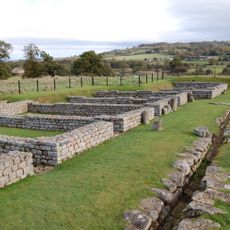
Cilurnum
1.4 km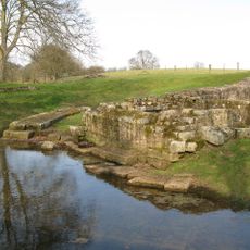
Ponte di Chesters
1.3 km
Chesters
1.5 km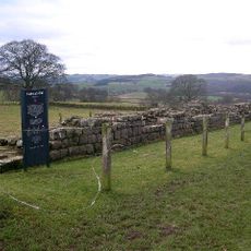
Planetrees
1.9 km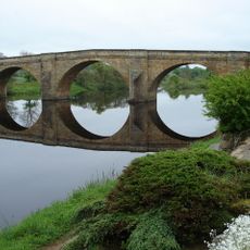
Ponte di Chollerford
750 m
Milecastle 26
2.1 km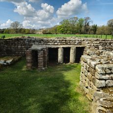
Chesters Roman Fort
1.4 km
Milecastle 27
1.3 km
Milecastle 28
1.8 km
Haughton Castle
1.6 km
Church of St George
2.3 km
Church of St Peter
97 m
Church of St Giles
1.3 km
The George Inn
679 m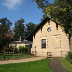
Clayton Museum
1.2 km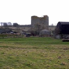
Cocklaw Tower
1.9 km
Wester Hall
1.6 km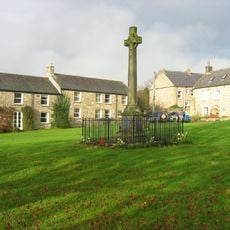
Wall War Memorial
2.3 km
Little Walwick
1.8 km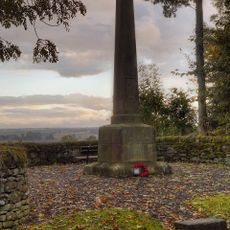
Humshaugh War Memorial
456 m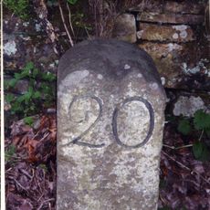
Milestone 230 Metres East Of High Brunton
1.8 km
Farmbuilding C50 Yards East Of Chollerton Farmhouse
1.5 km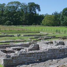
The Roman fort, vicus, bridge abutments and associated remains of Hadrian's Wall at Chesters in wall mile 27
1.6 km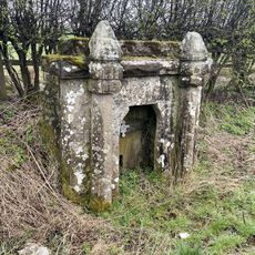
Pant Beside Road 200 Metres North Of Junction By Heatheridge
2.1 km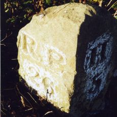
Milestone 360 Metres North Of B6318 Junction
969 m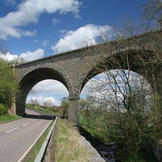
Railway Bridge 300 Yards South Of Chollerton
1.2 km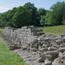
Hadrian's Wall and vallum between St Oswald's Cottages, east of Brunton Gate and the North Tyne in wall miles 25, 26 and 27
1.6 km
Stable Block 200 Metres North Of Chesters
1.4 kmRecensioni
Ha visitato questo luogo? Tocchi le stelle per valutarlo e condividere la Sua esperienza o foto con la community! Provalo ora! Puoi annullarlo in qualsiasi momento.
Scopri tesori nascosti ad ogni viaggio!
Da piccoli caffè caratteristici a panorami nascosti, fuggi dalla folla e scova i posti che fanno davvero per te. La nostra app ti semplifica tutto: ricerca vocale, filtri furbi, percorsi ottimizzati e dritte autentiche da viaggiatori di tutto il mondo. Scaricala subito per vivere l'avventura sul tuo smartphone!

Un nuovo approccio alla scoperta turistica❞
— Le Figaro
Tutti i luoghi che meritano di essere esplorati❞
— France Info
Un’escursione su misura in pochi clic❞
— 20 Minutes