
White Notley, village in the United Kingdom
Posizione: Braintree
Coordinate GPS: 51.83333,0.58333
Ultimo aggiornamento: 30 aprile 2025 alle 20:59
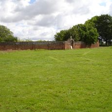
Cressing Temple
1.9 km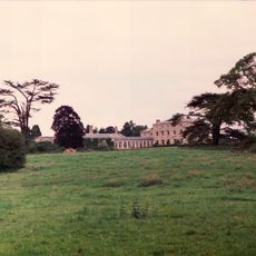
Terling Place
3.6 km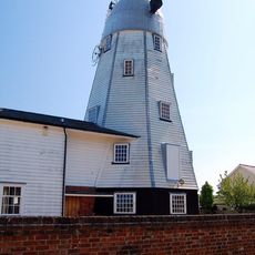
Terling Windmill
3.5 km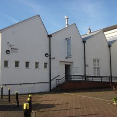
Warner Textile Archive
5.2 km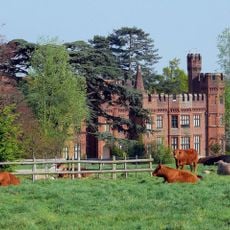
Faulkbourne Hall
2.7 km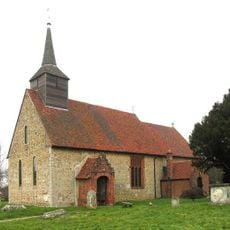
Parish Church of St Germanus
2.5 km
Hoppit Mead
4.9 km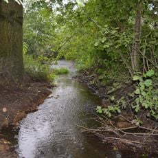
River Ter SSSI
4.9 km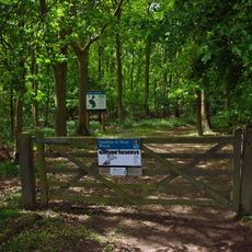
Sandylay and Moat Woods
4.8 km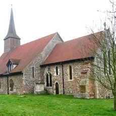
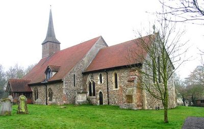
Church of St Ethelreda
466 m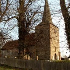
Parish Church of St Mary the Virgin
1.9 km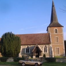
Parish Church of All Saints
3.4 km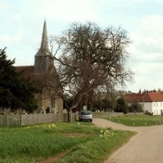
Church of St Peter and St Paul
3.2 km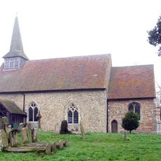
Parish Church of All Saints
2.7 km
United Reformed Church
3.4 km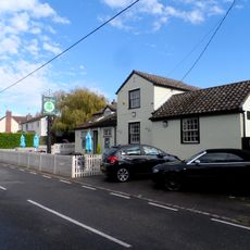
The Willows Public House
2.9 km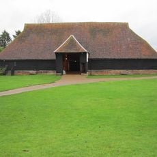
The Barley Barn
1.9 km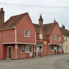
Terling Stores And Post Office
3.3 km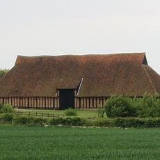
The Wheat Barn
2 km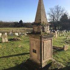
Monument Approximately 4 Metres South East Of South Porch Church Of St Peter And St Paul
3.2 km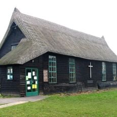
St Francis' Church
3.4 km
Terling War Memorial
3.4 km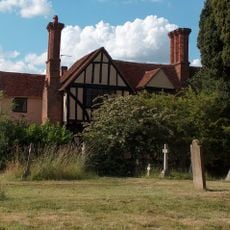
Tudor House
3.3 km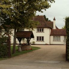
Card's
4.2 km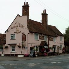
The Cross Keys
527 m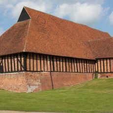
Granary/Stables Block 70 Metres South Of Cressing Temple Farmhouse
1.9 km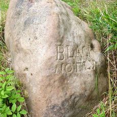
Boundary Stone On Triangle Of Land At Junction Of Dagnets Lane And Friar's Farm Track
4.1 km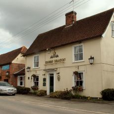
The Green Dragon
4.4 kmHa visitato questo luogo? Tocchi le stelle per valutarlo e condividere la Sua esperienza o foto con la community! Provalo ora! Puoi annullarlo in qualsiasi momento.
Scopri tesori nascosti ad ogni viaggio!
Da piccoli caffè caratteristici a panorami nascosti, fuggi dalla folla e scova i posti che fanno davvero per te. La nostra app ti semplifica tutto: ricerca vocale, filtri furbi, percorsi ottimizzati e dritte autentiche da viaggiatori di tutto il mondo. Scaricala subito per vivere l'avventura sul tuo smartphone!

Un nuovo approccio alla scoperta turistica❞
— Le Figaro
Tutti i luoghi che meritano di essere esplorati❞
— France Info
Un’escursione su misura in pochi clic❞
— 20 Minutes