
Grimston, village and civil parish in Norfolk, UK
Posizione: King's Lynn and West Norfolk
Coordinate GPS: 52.77195,0.54993
Ultimo aggiornamento: 4 marzo 2025 alle 22:14

Castle Rising Castle
5.9 km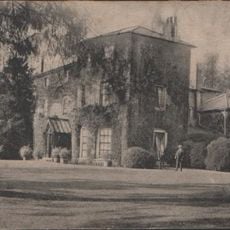
Gayton Hall
3.6 km
Roydon Common
3.3 km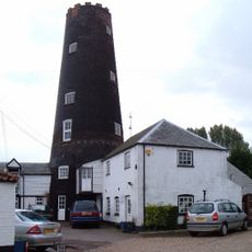
Gayton Windmill
3.3 km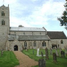
St Nicholas' Church
3.3 km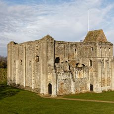
Ruins of castle and eleventh century church
5.9 km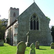
Church of St Andrew, Congham
1.5 km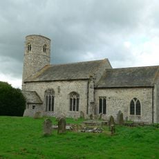
Church of St Mary
4.6 km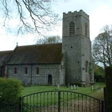
Church of All Saints
2.5 km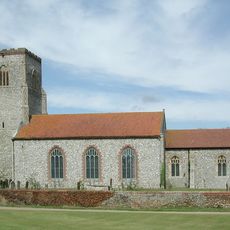
Church of St Mary
2.8 km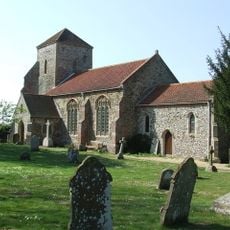
Church of All Saints
4.2 km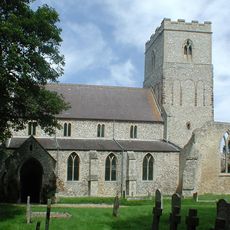
Church of St Mary
4.2 km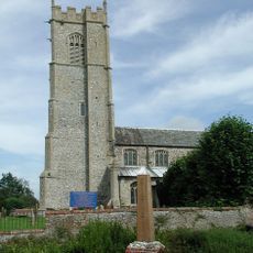
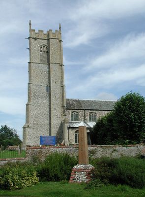
Church of St Botolph
530 m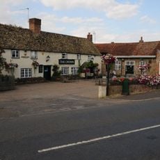
The Crown Inn
3.2 km
Flitcham War Memorial
4.3 km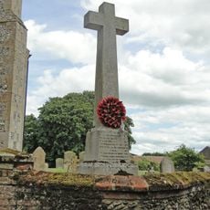
Hillington War Memorial
2.8 km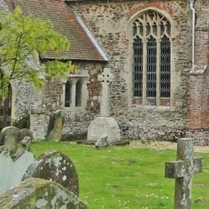
Ashwicken, Bawsey and Leziate War Memorial
4.2 km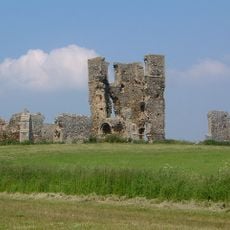
St James' church
6.1 km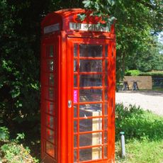
K6 Telephone Kiosk At Tf 6663 2475
6 km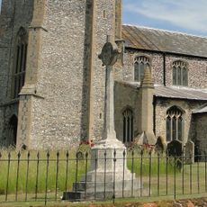
Grimston War Memorial
564 m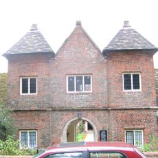
Trinity Hospital (hospital Of The Holy And Undivided Trinity) And Attached Enclosing Walls, Circa 30 Metres East Of Church Of St
5.9 km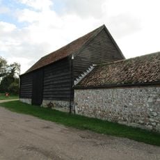
Barn At Gatehouse Farm Circa 50 Metres West Of Church Of St Mary
4.5 km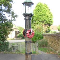
Lamp Post At Tf 6666 2473 Circa 20 Metres North Of Barn At Castle Farm
5.9 km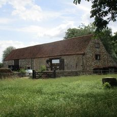
Barns At Castle Farm Circa 150 Metres South Of Church Of St Laurence
5.9 km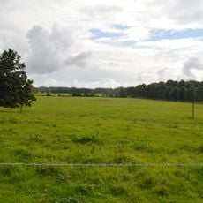
Appleton medieval and early post-medieval settlement
4.8 km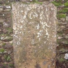
Milestone, boundary wall of Hillington Park
3.6 km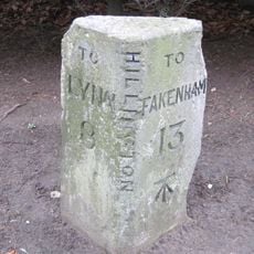
Milestone, by "The Beeches"
3.5 km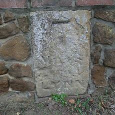
Milestone, Outside 8 Fakenham Rd
3.1 kmRecensioni
Ha visitato questo luogo? Tocchi le stelle per valutarlo e condividere la Sua esperienza o foto con la community! Provalo ora! Puoi annullarlo in qualsiasi momento.
Scopri tesori nascosti ad ogni viaggio!
Da piccoli caffè caratteristici a panorami nascosti, fuggi dalla folla e scova i posti che fanno davvero per te. La nostra app ti semplifica tutto: ricerca vocale, filtri furbi, percorsi ottimizzati e dritte autentiche da viaggiatori di tutto il mondo. Scaricala subito per vivere l'avventura sul tuo smartphone!

Un nuovo approccio alla scoperta turistica❞
— Le Figaro
Tutti i luoghi che meritano di essere esplorati❞
— France Info
Un’escursione su misura in pochi clic❞
— 20 Minutes