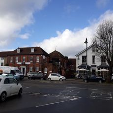
Send, village and civil parish in Surrey, Southern England
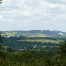
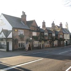
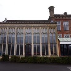
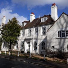
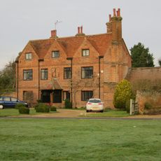
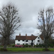
Send è un piccolo villaggio a Guildford, Surrey, situato accanto al fiume Wey ed è noto per le sue strade tranquille e i campi verdi. L'insediamento è costituito da case antiche e fattorie che formano un mix di edifici storici e abitazioni moderne, situati su un terreno dolce fatto di depositi di sabbia e argilla.
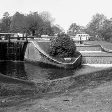
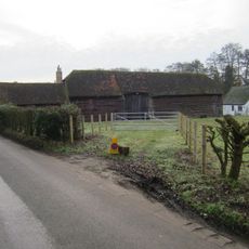
Send fu registrato nel 960 come Sendan, un luogo sabbioso dove i residenti estraevano sabbia per la costruzione fino agli anni 1990. La voce nel Domesday Book del 1086 mostra che il villaggio era già un insediamento vivace con chiesa, mulini, pescherie e boschi.
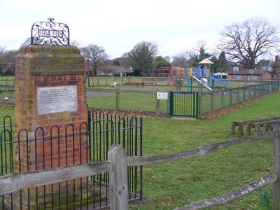
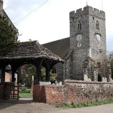
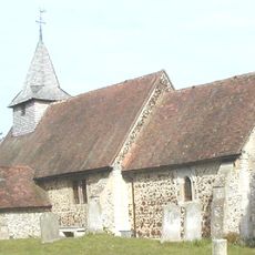
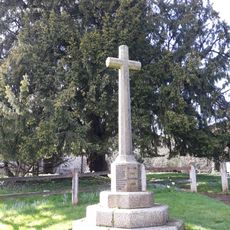
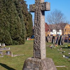
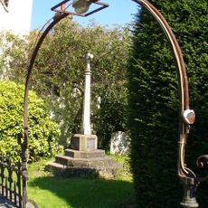
Il nome Send deriva da un'antica parola inglese che significa luogo sabbioso, riflettendo la geologia che ha plasmato l'insediamento. La chiesa di Santa Maria Vergine rimane il fulcro della vita del villaggio oggi, mostrando come le tradizioni locali e i legami comunitari continuano a definire la vita quotidiana.
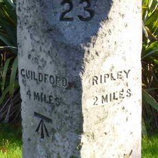
Send si trova a circa 37 chilometri da Londra ed è facilmente raggiungibile via due strade principali, l'antica strada di Portsmouth e l'A247. La vicinanza alle stazioni ferroviarie di West Clandon e Woking, insieme ai servizi di autobus regolari, rende i viaggi verso le città vicine e Londra convenienti.
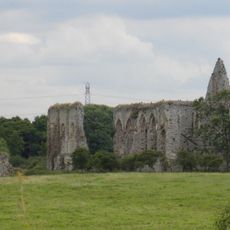
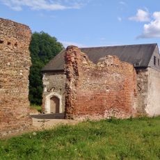
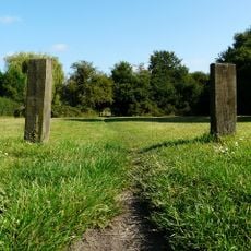
Mentre l'estrazione di sabbia per materiale da costruzione ha plasmato il paesaggio per secoli, questa industria ha lasciato fosse abbandonate ai bordi del villaggio che oggi rivelano tracce di attività economica passata. Questi siti raccontano una storia diversa da quella dei villaggi rurali tipici.
La comunità dei viaggiatori curiosi
AroundUs riunisce migliaia di luoghi selezionati, consigli locali e gemme nascoste, arricchiti ogni giorno da oltre 60,000 contributori in tutto il mondo.