
Treborough, village and civil parish in Somerset, UK
Posizione: Somerset
Coordinate GPS: 51.11920,-3.40870
Ultimo aggiornamento: 16 marzo 2025 alle 11:32
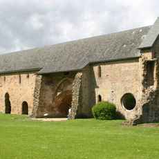
Cleeve Abbey
5.3 km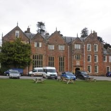
Nettlecombe Court
4.3 km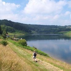
Clatworthy Reservoir
5.8 km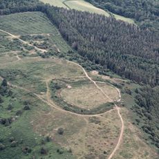
Bat's Castle
6.2 km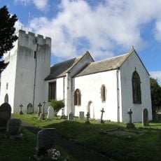
Church of St Nicholas, Withycombe
5 km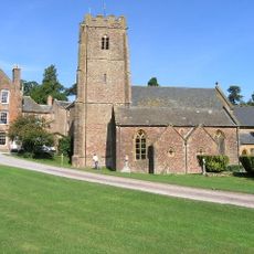
Church of St Mary the Virgin, Nettlecombe
4.3 km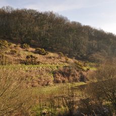
Clatworthy Camp
5.9 km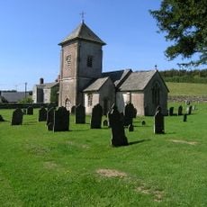
Church of St Peter
450 m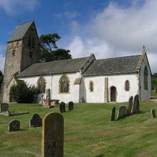
St Mary's Church, Luxborough
4.4 km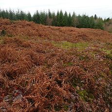
Croydon Hill
6.2 km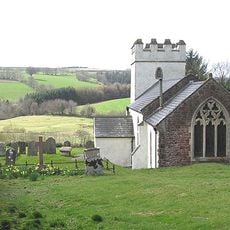
Church of St Mary Magdalene
4.3 km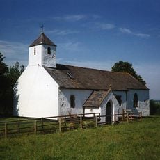
Church of St Bartholomew
3.1 km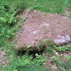
Cist and associated mound in Langridge Wood, 410m north west of Treborough Lodge
842 m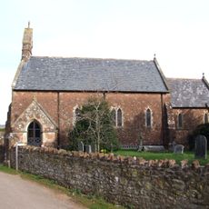
Church of St Giles
1.7 km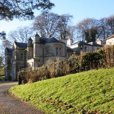
Chargot House
3.5 km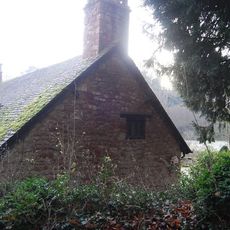
St Pancras Chapel
4.3 km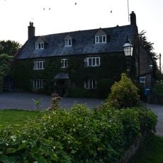
The Dragon House Hotel
5 km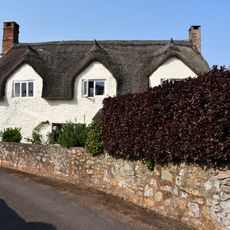
River Cottage
5.1 km
Old Cleeve War Memorial
5 km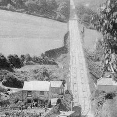
The Incline, lying between Brendon Hill and Comberow, and the remains of Combe Row Station
2 km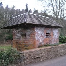
World War II pillbox at Vale House, 120m north east of Glasses Farm
2 km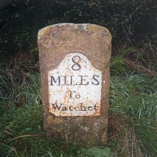
Milestone At Ngr St 0144 3334
3.1 km
Burrow Farm iron mine and section of mineral railway trackbed, 350m north east of Burrow Farm
2.1 km
Bowl barrow 700m north east of Burrow Farm
1.9 km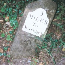
Milestone At Ngr St 0460 3613
3.1 km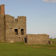
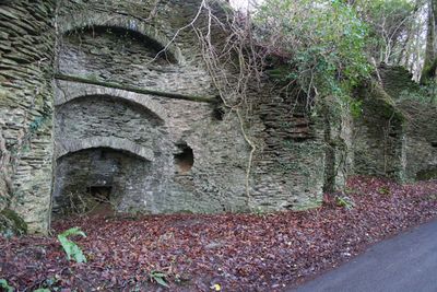
Burrow Farm Engine House And Remains Of Drying Shed About 10 Metres To West
2.1 km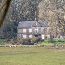
Middleton Court
4.2 km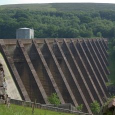
Wimbleball Lake
7.1 kmRecensioni
Ha visitato questo luogo? Tocchi le stelle per valutarlo e condividere la Sua esperienza o foto con la community! Provalo ora! Puoi annullarlo in qualsiasi momento.
Scopri tesori nascosti ad ogni viaggio!
Da piccoli caffè caratteristici a panorami nascosti, fuggi dalla folla e scova i posti che fanno davvero per te. La nostra app ti semplifica tutto: ricerca vocale, filtri furbi, percorsi ottimizzati e dritte autentiche da viaggiatori di tutto il mondo. Scaricala subito per vivere l'avventura sul tuo smartphone!

Un nuovo approccio alla scoperta turistica❞
— Le Figaro
Tutti i luoghi che meritano di essere esplorati❞
— France Info
Un’escursione su misura in pochi clic❞
— 20 Minutes