
Wirswall, village and civil parish in Cheshire East, England
Posizione: Cheshire East
Confina con: Tushingham-cum-Grindley, Macefen and Bradley, Marbury cum Quoisley
Coordinate GPS: 52.99243,-2.67868
Ultimo aggiornamento: 4 aprile 2025 alle 15:55
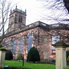
St Alkmund's Church
2.4 km
St Chad's Chapel, Tushingham
2.8 km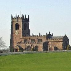
St Michael's Church
2.1 km
St Chad's Church, Tushingham
3.3 km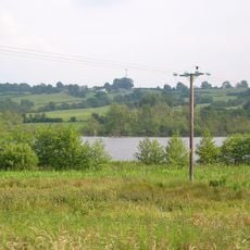
Quoisley Meres
1.4 km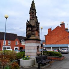
Churton Memorial Fountain
2.6 km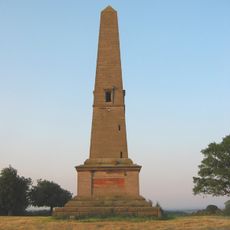
Monumental Obelisk at Combermere Abbey
3.1 km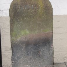
Milestone Adjoining North East Front Of Number 46 (Victoria Hotel)
2.5 km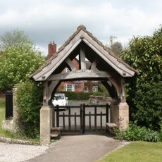
Lychgate in Churchyard of St Michael
2.2 km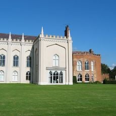
Combermere Abbey (house)
4.2 km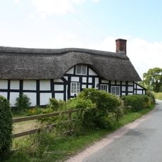
Stokes Cottage
3.7 km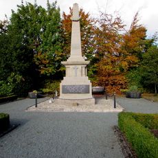
Whitchurch War Memorial
2.6 km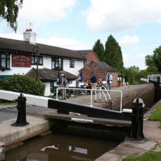
Willeymoor Lock
1.5 km
Milestone Adjoining Number 3 A
2.8 km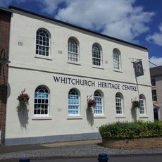
Whitchurch Heritage Centre
2.5 km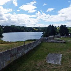
Churchyard wall at Church of St Michael
2.1 km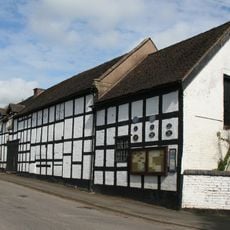
Outhouse to Swan Inn
2.2 km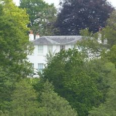
Marbury Hall
1.8 km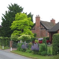
Brook Farmhouse
3.8 km
Guidepost
3.9 km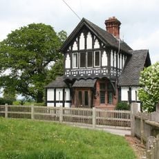
Gate Lodge To Marbury Hall
2.2 km
Pearl Farmhouse
2.5 km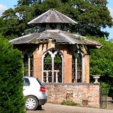
Game larder to the centre of the service court at Combermere Abbey
4.2 km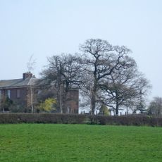
Lower Lodge
2.3 km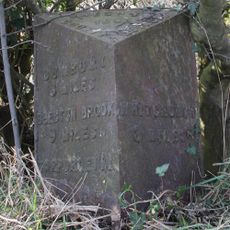
Milepost, S of Quoisley Lock on canal
2.1 km
Milepost, Sandhole Farm; 100m S of power lines
2.4 km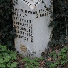
Milepost, N of B5395 jct, Grindley Brook, S of Willey Moor jct
2.6 km
Milepost, N of Bell o' th' Hill, opp. Church of St Chad, Tushingham
3.3 kmRecensioni
Ha visitato questo luogo? Tocchi le stelle per valutarlo e condividere la Sua esperienza o foto con la community! Provalo ora! Puoi annullarlo in qualsiasi momento.
Scopri tesori nascosti ad ogni viaggio!
Da piccoli caffè caratteristici a panorami nascosti, fuggi dalla folla e scova i posti che fanno davvero per te. La nostra app ti semplifica tutto: ricerca vocale, filtri furbi, percorsi ottimizzati e dritte autentiche da viaggiatori di tutto il mondo. Scaricala subito per vivere l'avventura sul tuo smartphone!

Un nuovo approccio alla scoperta turistica❞
— Le Figaro
Tutti i luoghi che meritano di essere esplorati❞
— France Info
Un’escursione su misura in pochi clic❞
— 20 Minutes