
East Halton, village in the United Kingdom
Posizione: North Lincolnshire
Coordinate GPS: 53.66670,-0.28330
Ultimo aggiornamento: 12 aprile 2025 alle 13:22
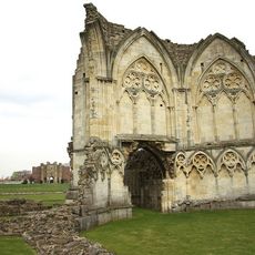
Thornton Abbey
2.2 km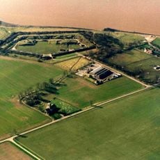
Fort Paull
6.8 km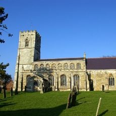
Church of All Saints
3.4 km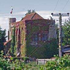
Goxhill Hall
2.6 km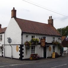
Thornton Hunt Inn
5.3 km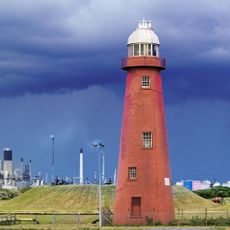
Killingholme High Lighthouse
4.8 km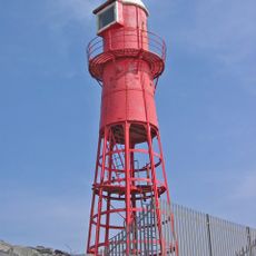
Thorngumbald Clough High Lighthouse
6 km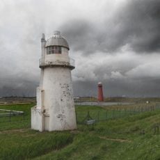
Killingholme South Low Lighthouse
5 km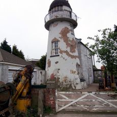
Killingholme North Low Lighthouse
4.6 km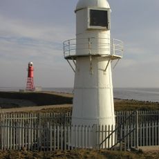
Thorngumbald Clough Low Lighthouse
6 km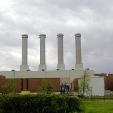
Killingholme Power Stations
2.1 km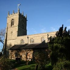
Church of St.andrew
6.6 km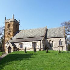
Church of St Andrew
6.2 km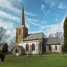
Church of Saint Nicholas
6.5 km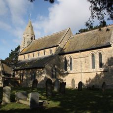
Church of St.Margaret
6.3 km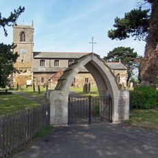
Church of Saint Denys
3.1 km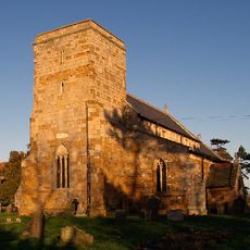
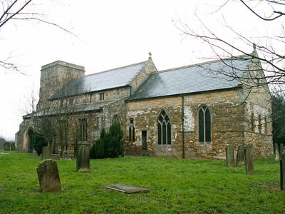
Church of Saint Peter
1.9 km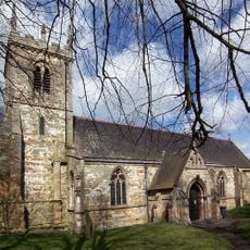
Church of Saint Lawrence
5.3 km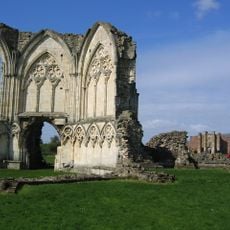
Remains Of Thornton Abbey Church And Adjoining Monastic Ranges
2.2 km
Thornton Abbey Gatehouse
2.4 km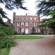
Thornton Hall, Pavilion Wings And Flanking Screen Walls
4.6 km
Medieval hall adjoining north east corner of Goxhill Hall
2.6 km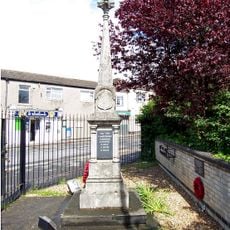
Ulceby War Memorial
6.3 km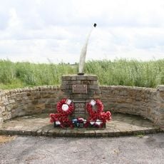
USAAF Memorial, Goxhill Airfield
3.1 km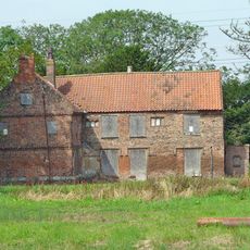
Manor Farmhouse
2.8 km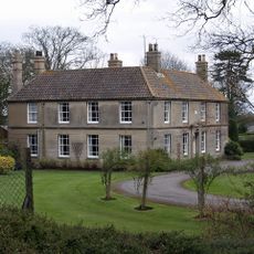
The Grove
6.1 km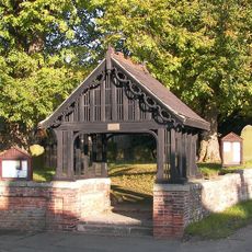
Thornton Curtis War Memorial Lychgate
5.3 km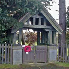
Wootton WWI Memorial Lychgates, Lincolnshire
6.1 kmRecensioni
Ha visitato questo luogo? Tocchi le stelle per valutarlo e condividere la Sua esperienza o foto con la community! Provalo ora! Puoi annullarlo in qualsiasi momento.
Scopri tesori nascosti ad ogni viaggio!
Da piccoli caffè caratteristici a panorami nascosti, fuggi dalla folla e scova i posti che fanno davvero per te. La nostra app ti semplifica tutto: ricerca vocale, filtri furbi, percorsi ottimizzati e dritte autentiche da viaggiatori di tutto il mondo. Scaricala subito per vivere l'avventura sul tuo smartphone!

Un nuovo approccio alla scoperta turistica❞
— Le Figaro
Tutti i luoghi che meritano di essere esplorati❞
— France Info
Un’escursione su misura in pochi clic❞
— 20 Minutes