
Catwick, villaggio inglese della contea East Riding of Yorkshire
Posizione: East Riding of Yorkshire
Coordinate GPS: 53.89263,-0.28047
Ultimo aggiornamento: 3 marzo 2025 alle 03:35
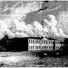
Rise Hall
4.2 km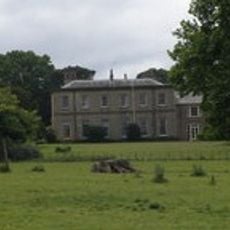
Wassand Hall
4.3 km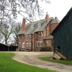
The Old Vicarage
5.8 km
Nunkeeling Priory
4.5 km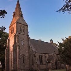
Church of All Saints
3.9 km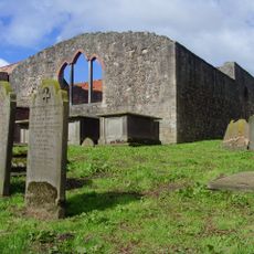
Church of Saint Mary Magdalene and Saint Helena
4.9 km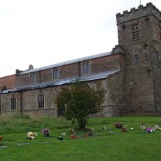
Church of St Mary
2.5 km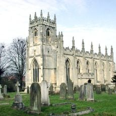
Church of St Augustine
5.8 km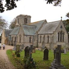
Holy Trinity Church
2.4 km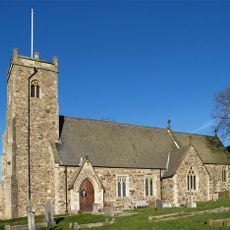
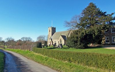
Church of St Michael
38 m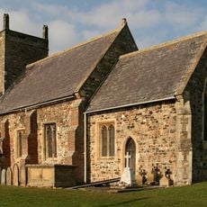
Church of St Margaret
2.8 km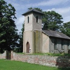
Church of St Giles
5.5 km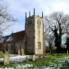
Church of All Saints
4.9 km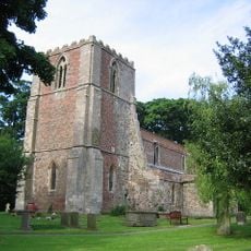
Church of St Lawrence
2.3 km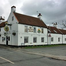
Black Swan Public House
2.5 km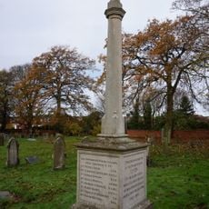
Leven War Memorial in the Churchyard of Holy Trinity Church
2.4 km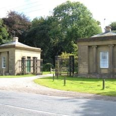
West Stone Lodge And East Stone Lodge With Attached Walls, Gates And Railings
3.9 km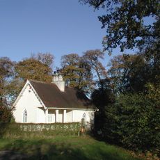
Lodge To Wassand Hall
3.6 km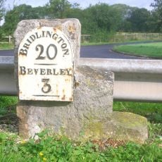
Milestone, by access road to Environment Agency
6.6 km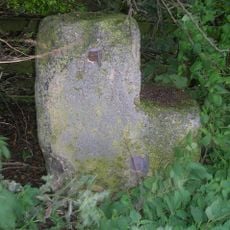
Milestone, half way between Routh and White Cross TI
3.6 km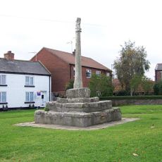
Market Cross
2.5 km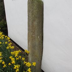
Wayside Cross
4.8 km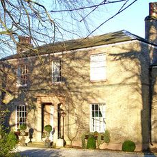
Seaton House
3.5 km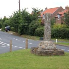
Great Hatfield Cross
6.2 km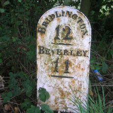
Milestone, Between Grange Road and track to Moor Grange
6 km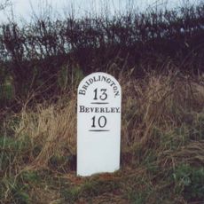
Milestone, 200m N of Moorside Farm entrance
4.4 km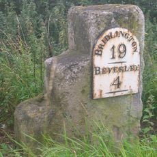
Milestone, W of Meaux Lane
5.2 km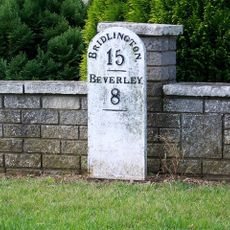
Milestone, Brandesburton, New Road adjacent to Elmfield Drive
2.3 kmRecensioni
Ha visitato questo luogo? Tocchi le stelle per valutarlo e condividere la Sua esperienza o foto con la community! Provalo ora! Puoi annullarlo in qualsiasi momento.
Scopri tesori nascosti ad ogni viaggio!
Da piccoli caffè caratteristici a panorami nascosti, fuggi dalla folla e scova i posti che fanno davvero per te. La nostra app ti semplifica tutto: ricerca vocale, filtri furbi, percorsi ottimizzati e dritte autentiche da viaggiatori di tutto il mondo. Scaricala subito per vivere l'avventura sul tuo smartphone!

Un nuovo approccio alla scoperta turistica❞
— Le Figaro
Tutti i luoghi che meritano di essere esplorati❞
— France Info
Un’escursione su misura in pochi clic❞
— 20 Minutes