
Shropham, village in the United Kingdom
Posizione: Breckland District
Coordinate GPS: 52.50105,0.92035
Ultimo aggiornamento: 3 marzo 2025 alle 06:06
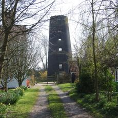
Great Ellingham Windmill
5.1 km
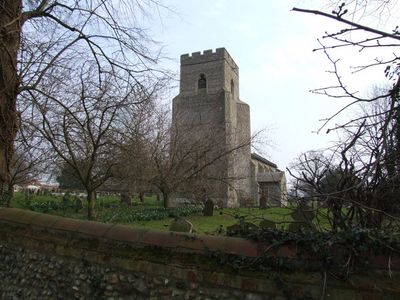
Church of St Margaret
2.8 km
Church of Holy Cross
4.9 km
Church of St Andrew
4.8 km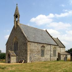
Church of St Botolph
3.2 km
Church of All Saints
4.1 km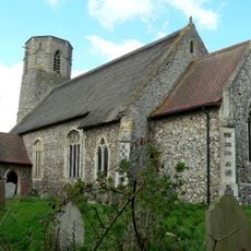
Church of St Peter
3.9 km
Church of All Saints
2.5 km
Church of All Saints
5.8 km
Church of All Saints
3 km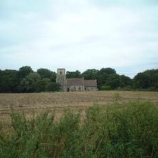
Church of St Ethelbert
3.5 km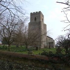
Church of St Peter
482 m
Church of St Mary
5.3 km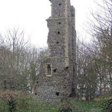
Church of St Andrew 230 Metres South East of Church of All Saints
3 km
Wilby Hall
5.6 km
Church of Holy Trinity
3.4 km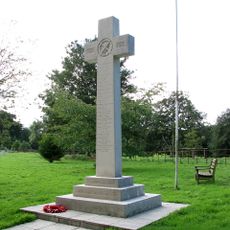
Great Hockham War Memorial
3.4 km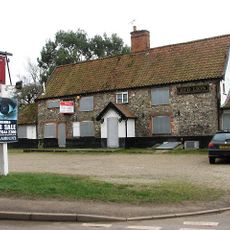
Red Lion Public House
5 km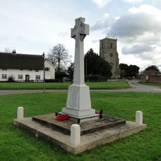
Caston War Memorial
5 km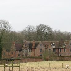
Breckles Hall
2.4 km
96th Bombardment Group USAAF Memorial, Snetterton
4.4 km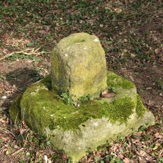
Wayside cross at the north end of Whitecross Drift, 670m south west of Swangey Farm
2.9 km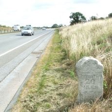
Milestone, S end of Snetterton Circuit
3.9 km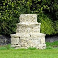
Village cross, 70m north west of the Holy Cross Church
5 km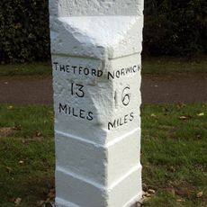
Milestone, London Rd, c.20m W of jct with Keeling Way
5.4 km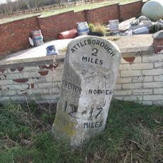
Milestone, 5yds E of The White Lodge inn, Hargham
4.5 km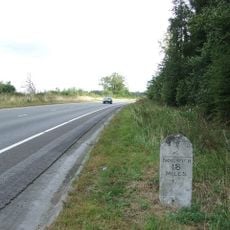
Milestone, London Rd, near Lodge Plantation
3.4 km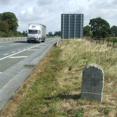
Milestone, southbound slip rd to Snetterton Circuit
3.7 kmRecensioni
Ha visitato questo luogo? Tocchi le stelle per valutarlo e condividere la Sua esperienza o foto con la community! Provalo ora! Puoi annullarlo in qualsiasi momento.
Scopri tesori nascosti ad ogni viaggio!
Da piccoli caffè caratteristici a panorami nascosti, fuggi dalla folla e scova i posti che fanno davvero per te. La nostra app ti semplifica tutto: ricerca vocale, filtri furbi, percorsi ottimizzati e dritte autentiche da viaggiatori di tutto il mondo. Scaricala subito per vivere l'avventura sul tuo smartphone!

Un nuovo approccio alla scoperta turistica❞
— Le Figaro
Tutti i luoghi che meritano di essere esplorati❞
— France Info
Un’escursione su misura in pochi clic❞
— 20 Minutes