
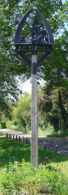
Rattlesden, village in Suffolk, England, UK
Posizione: Mid Suffolk
Altezza sopra il mare: 68 m
Coordinate GPS: 52.19400,0.89500
Ultimo aggiornamento: 5 marzo 2025 alle 21:59
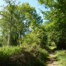
Bradfield Woods
5.1 km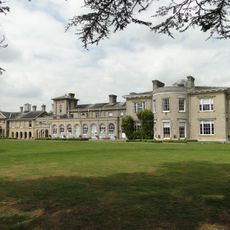
Finborough Hall
3.7 km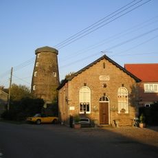
Buxhall Windmill
2.1 km
St Andrew’s Church, Great Finborough
3.6 km
Thorpe Morieux Woods
5.3 km
Church of St John the Baptist
3.7 km
Church of St Mary
2.9 km
Church of St Nicholas
160 m
Church of All Saints
3.3 km
Church of King Charles the Martyr
2.7 km
Church of St Peter
3.9 km
Church of St Mary
2.7 km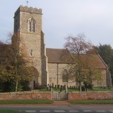
Church of St Mary the Virgin, Brettenham
5 km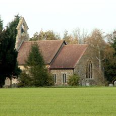
Church of St Mary
5.6 km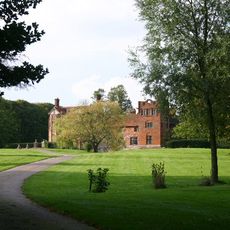
Gedding Hall
2.6 km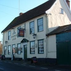
The Brewers Arms Public House
169 m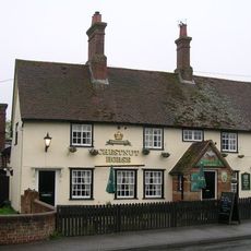
The Chestnut Horse Public House
3.6 km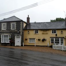
The Six Bells Public House
3.8 km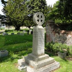
Great Finborough War Memorial Cross
3.6 km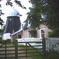
Drinkstone Smock Mill
3.4 km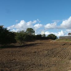
Drinkstone Post Mill
3.5 km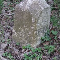
Milestone 5 Metres North West Of Lodge Cottage
2.6 km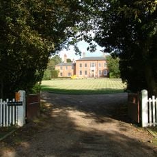
The Old Rectory
3.4 km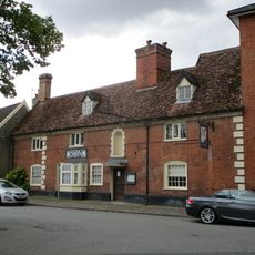
The Swan Inn (Part)
3.4 km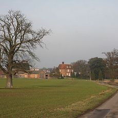
Fasbourne Hall With Attached Garden Wall At The Eastern Corner
2.9 km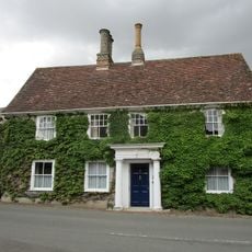
Premises Occupied By Dr Dean
3.4 km
Pepys House
3.4 km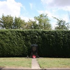
447th Bombardment Group USAAF Memorial, Rattlesden
2.2 kmRecensioni
Ha visitato questo luogo? Tocchi le stelle per valutarlo e condividere la Sua esperienza o foto con la community! Provalo ora! Puoi annullarlo in qualsiasi momento.
Scopri tesori nascosti ad ogni viaggio!
Da piccoli caffè caratteristici a panorami nascosti, fuggi dalla folla e scova i posti che fanno davvero per te. La nostra app ti semplifica tutto: ricerca vocale, filtri furbi, percorsi ottimizzati e dritte autentiche da viaggiatori di tutto il mondo. Scaricala subito per vivere l'avventura sul tuo smartphone!

Un nuovo approccio alla scoperta turistica❞
— Le Figaro
Tutti i luoghi che meritano di essere esplorati❞
— France Info
Un’escursione su misura in pochi clic❞
— 20 Minutes