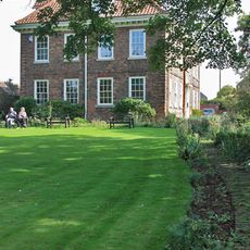
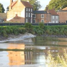
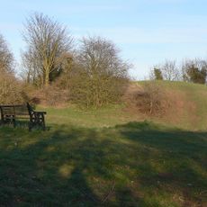
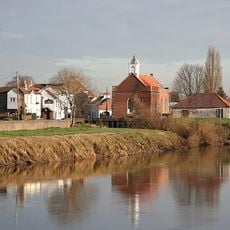
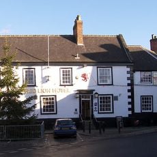
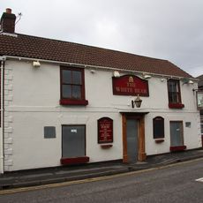
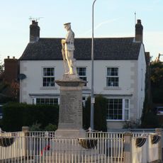
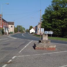
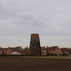
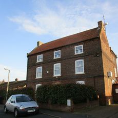
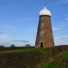
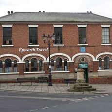
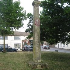
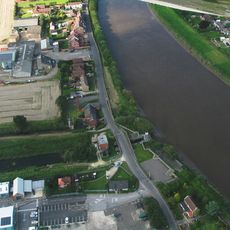
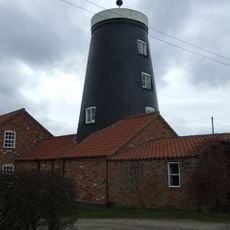
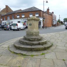
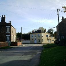
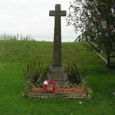
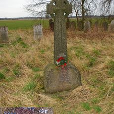
Owston Ferry, village and civil parish in Lincolnshire, England, UK
Posizione: North Lincolnshire
Coordinate GPS: 53.49520,-0.78566
Ultimo aggiornamento: 7 marzo 2025 alle 17:55
Epworth Old Rectory
3.8 km
Trent Aegir
5.7 km
Owston Ferry Castle
288 m
St Mary the Virgin's Church, West Stockwith
6 km
Church of St Martin
288 m
Wesley Memorial Church
4.2 km
Church of St Andrew
4.2 km
Church of All Saints
5.3 km
Church of St Nicholas
4.2 km
Church of St Peter
6.3 km
The Red Lion Inn And Adjoining Stable Range
4 km
The White Bear Inn
4.3 km
Post Office
4.2 km
Haxey and Westwoodside War Memorial
3.1 km
North Engine House, Walkway And Cut Waters
6.1 km
Market cross at junction of High Street, Low Street and Haxey Lane
3.3 km
Thompson's Mill
3.6 km
39, Front Street
6.2 km
Maw's Mill Approximately 275 Metres North East Of Number 34/36 (Field House Farmhouse)
5.1 km
Manor Court House
4.1 km
Number 49 Gate And Railings
6.2 km
Mowbray Cross
3.9 km
Sluice And Road Bridge At Outfall Of Snow Sewer/Warping Drain Into The River Trent
1.3 km
Burnham Mill
3.4 km
Market Cross
4 km
Burnham Farmhouse
3 km
East Ferry War Memorial
1.4 km
Wildsworth War Memorial
2.9 kmRecensioni
Ha visitato questo luogo? Tocchi le stelle per valutarlo e condividere la Sua esperienza o foto con la community! Provalo ora! Puoi annullarlo in qualsiasi momento.
Scopri tesori nascosti ad ogni viaggio!
Da piccoli caffè caratteristici a panorami nascosti, fuggi dalla folla e scova i posti che fanno davvero per te. La nostra app ti semplifica tutto: ricerca vocale, filtri furbi, percorsi ottimizzati e dritte autentiche da viaggiatori di tutto il mondo. Scaricala subito per vivere l'avventura sul tuo smartphone!
Un nuovo approccio alla scoperta turistica❞
— Le Figaro
Tutti i luoghi che meritano di essere esplorati❞
— France Info
Un’escursione su misura in pochi clic❞
— 20 Minutes