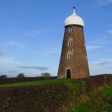
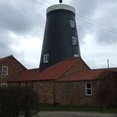
Owston Ferry Castle, motte-and-bailey castle in Owston Ferry, North Lincolnshire, England, UK
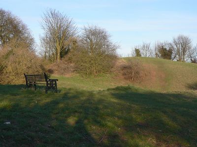
Il Castello di Owston Ferry e una fortezza a motta e bailey nel Lincolnshire, composta da un tumulo di terra elevato con un fossato protettivo e difese esterne che una volta lo circondavano. Il tumulo rimane chiaramente visibile oggi, mostrando la forma tipica di questo design di castello medievale.
La fortezza fu costruita poco dopo la conquista normanna intorno al 1066 ma fu smontata nel 1095. Roger de Mowbray la ricostruì nel 1173 durante la rivolta del 1173-74, dopodiché il re Enrico II ordinò la sua distruzione dopo il conflitto.
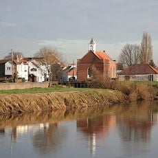
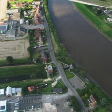
Il sito è noto anche come Castello di Kinnard's Ferry e rimane radicato nella comunita del villaggio di Owston Ferry. La sua posizione a un incrocio fluviale mostra come ha plasmato i movimenti e le connessioni delle persone nella regione per secoli.
Il sito e aperto al pubblico ed e facile da esplorare a piedi senza richiedere alcuna quota di ingresso. Si trova nel villaggio di Owston Ferry ed e raggiungibile tramite le strade locali della zona.
La fortezza ha svolto un ruolo chiave nel controllo di un importante attraversamento fluviale ed era parte di una piu ampia rete di difese nella regione. Questa importanza strategica rimane visibile oggi grazie alla posizione e alla forma conservate del tumulo.
La comunità dei viaggiatori curiosi
AroundUs riunisce migliaia di luoghi selezionati, consigli locali e gemme nascoste, arricchiti ogni giorno da oltre 60,000 contributori in tutto il mondo.