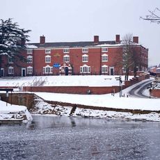
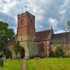
Stourport-on-Severn, town and civil parish in the Wyre Forest District of Worcestershire, England
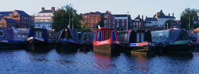
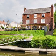
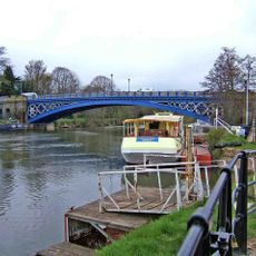
Stourport-on-Severn è una piccola città sul fiume Severn nel Worcestershire che si è sviluppata attorno a un porto storico e a un sistema di canali. Contiene vecchi bacini in pietra con circa 100 barche ormeggiate, edifici georgiani al centro, prati fluviali con spazi verdi aperti, e una strada commerciale animata con negozi, caffè e pub.
La città fu fondata quando il canale Staffordshire e Worcestershire fu completato nel 1771, il che rese rapidamente Stourport un importante centro commerciale. Il porto prosperò come punto di trasferimento merci fino a quando le priorità di trasporto si allontanarono dall'acqua, e la città divenne un centro di mercato regionale con il commercio locale.
Il nome Stourport si riferisce alla posizione sul Severn e al ruolo storico del porto. Oggi questa connessione si vede nella vita quotidiana: le famiglie passeggiano lungo il fiume, le persone si siedono accanto all'acqua guardando le barche, e la comunità si riunisce per eventi incentrati sulle vie d'acqua.
La città è compatta e facile da navigare a piedi o in bicicletta, con cartelli che indicano le attrazioni principali. C'è un parcheggio lungo il fiume, il noleggio di barche disponibile durante i mesi estivi, e una gamma di opzioni di alloggio inclusi hotel, locande e bed and breakfast.
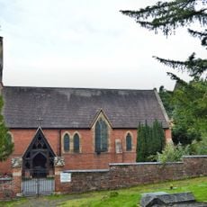
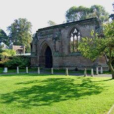
La città è gemellata con Villeneuve-le-Roi in Francia, promuovendo visite regolari e scambi culturali. Nelle vicinanze si trovano i resti di Witley Court con i suoi giardini storici e il Worcestershire County Museum, che rivelano ulteriori strati di storia regionale.
La comunità dei viaggiatori curiosi
AroundUs riunisce migliaia di luoghi selezionati, consigli locali e gemme nascoste, arricchiti ogni giorno da oltre 60,000 contributori in tutto il mondo.