Harefield, Villaggio nel borgo londinese di Hillingdon, Inghilterra.
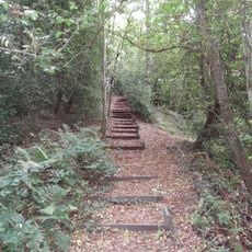
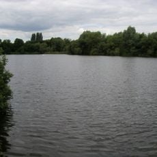
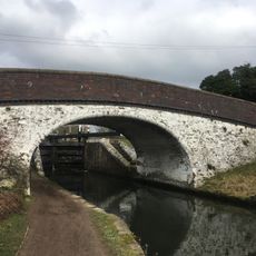
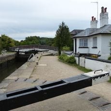
Harefield è un villaggio al margine nord-occidentale di Londra, situato tra il Grand Union Canal e spazi verdi. Si trova a circa 17 miglia dal centro di Londra, combinando la tranquillità rurale con i collegamenti urbani.
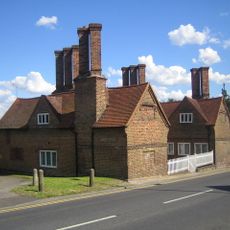
Il Domesday Book del 1086 menziona Harefield come Herefelle, combinando parole dell'inglese antico per esercito e campo, indicando la sua importanza militare precoce. L'insediamento si sviluppò successivamente in una comunità agricola da questa posizione fortificata.
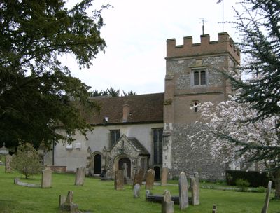
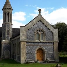
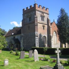
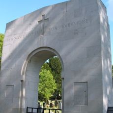
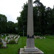
La chiesa di St Mary the Virgin è un centro della vita comunitaria con incontri regolari e servizi commemorativi annuali in onore dei soldati australiani della Prima Guerra mondiale. Riunisce i residenti in occasioni importanti durante tutto l'anno.
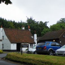
I servizi di autobus regolari collegano Harefield ai paesi vicini e ai quartieri di Londra, rendendo i viaggi agevoli. I negozi e i ristoranti locali si trovano a pochi passi dalle aree residenziali.
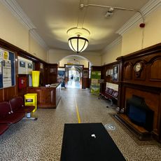
L'Ospedale di Harefield è divenuto noto dalla fine del ventesimo secolo per le operazioni specializzate di cardiochirurgia e trapianti a livello avanzato. Il lavoro medico svolto attrae pazienti da tutto il mondo.
La comunità dei viaggiatori curiosi
AroundUs riunisce migliaia di luoghi selezionati, consigli locali e gemme nascoste, arricchiti ogni giorno da oltre 60,000 contributori in tutto il mondo.