
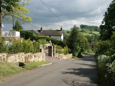
Windley, village and civil parish in Amber Valley district, Derbyshire, England
Posizione: Amber Valley
Confina con: Shottle and Postern, Turnditch, Weston Underwood, Quarndon, Duffield, Hazelwood
Coordinate GPS: 53.00300,-1.54600
Ultimo aggiornamento: 3 marzo 2025 alle 20:38
Castello di Duffield
3.8 km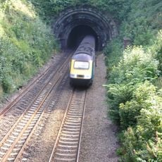
Milford Tunnel
3.9 km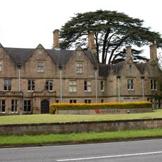
Duffield Hall
4.5 km
Church of St John the Evangelist
2.4 km
Church of All Saints
3.2 km
Church of All Saints
1.7 km
Kedleston Hall gardens
4.4 km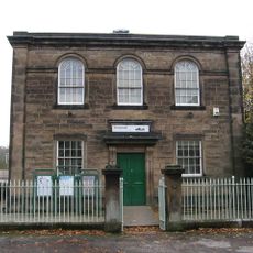
Old Chapel, Gate Piers And Railings
4.3 km
Twelfth century tower keep castle, including sites of an eleventh century motte and bailey castle, an Anglian cemetery and a Rom
3.9 km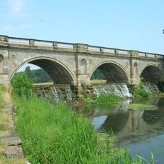
The Bridge And Cascade
4.5 km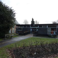
Duffield Library
4.3 km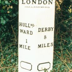
Mile Post At Os 282 453
2.4 km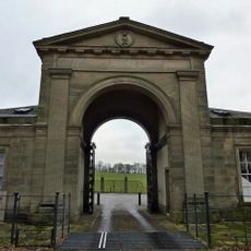
The North Lodge
4.3 km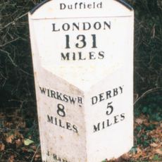
Milepost At Os 336 432
3.6 km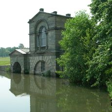
The Boathouse
4.4 km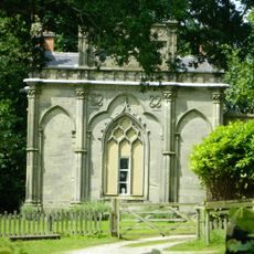
Gothic Temple
3.6 km
The Meadows
4.5 km
Milepost At Os 287 438
2.2 km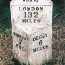
Mile Post At Os 324 443
2 km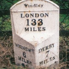
Mile Post At Os 313 454
708 m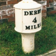
Milepost At Os 346 427
4.6 km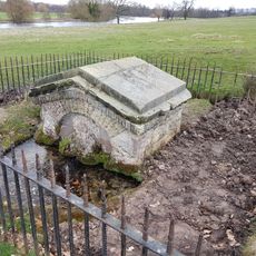
The Lion's Mouth
4.7 km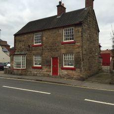
The Forge
4.4 km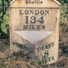
Milepost 200 Metres South East Of The Wirksworth And Ashbourne Road Crossroads
1.6 km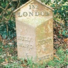
Mile Post At Os 293 425
2.9 km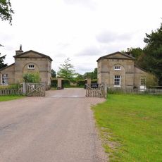
The South Lodges
4 km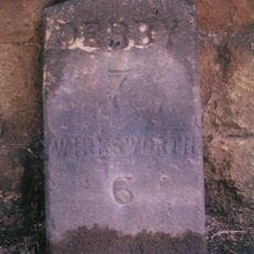
Milestone, Farnah Green
3.4 km
Milestone, Hazelwood Road jct (S of village)
2.6 kmRecensioni
Ha visitato questo luogo? Tocchi le stelle per valutarlo e condividere la Sua esperienza o foto con la community! Provalo ora! Puoi annullarlo in qualsiasi momento.
Scopri tesori nascosti ad ogni viaggio!
Da piccoli caffè caratteristici a panorami nascosti, fuggi dalla folla e scova i posti che fanno davvero per te. La nostra app ti semplifica tutto: ricerca vocale, filtri furbi, percorsi ottimizzati e dritte autentiche da viaggiatori di tutto il mondo. Scaricala subito per vivere l'avventura sul tuo smartphone!

Un nuovo approccio alla scoperta turistica❞
— Le Figaro
Tutti i luoghi che meritano di essere esplorati❞
— France Info
Un’escursione su misura in pochi clic❞
— 20 Minutes