
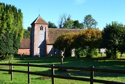
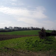
Bullington, village and civil parish in Hampshire, UK
Posizione: Test Valley
Coordinate GPS: 51.16975,-1.35280
Ultimo aggiornamento: 3 marzo 2025 alle 00:25
Norsebury Ring
4 km
Tidbury Ring
1.8 km
Church of All Saints
1.9 km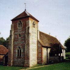
Church of St Michael
196 m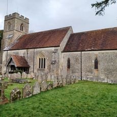
Church of the Holy Trinity
3 km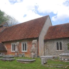
Church of St James
3.3 km
Table Tomb 5 Metres North Of Church Of All Saints
1.9 km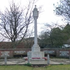
Sutton Scotney War Memorial
2.2 km
The Swan Inn
1.9 km
Table Tomb 9 Metres North Of Church Of All Saints
1.9 km
Table Tomb 9 Metres Noth Of Church Of All Saints
1.9 km
Table Tomb 2 Metres North Of Church Of All Saints
1.9 km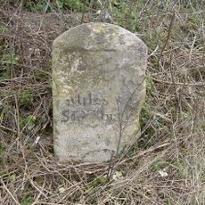
Milestone 800 Metres West Of Red House, Sutton Scotney
2.2 km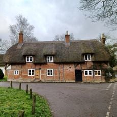
1-3, Hunton Down Lane
3.3 km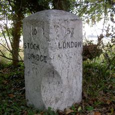
Milestone 1000 Metres North Hunton Grange Farm
3.6 km
Table Tomb 12 Metres North Of Church Of All Saints
1.9 km
Table Tomb 7 Metres North Of Church Of All Saints
1.9 km
Old School House
1.8 km
5 And 6, Hunton Down Lane
3.3 km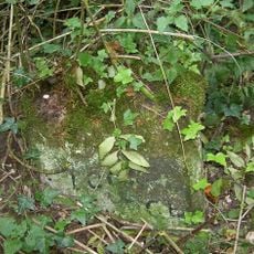
Milestone 100 Metres North Of Lower Cranbourne Farm Moated Site
2.4 km
Table Tomb 10 Metres South Of Church Of All Saints
1.9 km
Table Tomb 10 Metres North Of Church Of All Saints
1.9 km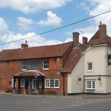
Coach And Horses
2.1 km
Table Tomb 5 Metres North Of Church Of All Saints
1.9 km
The Malt House And Boundary Wall
1.8 km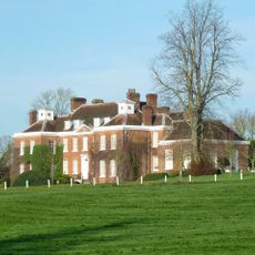
Hunton House
3.3 km
Milestone, Tidbury Ring
2.2 km
Milestone, Cranbourne Grange
2.5 kmRecensioni
Ha visitato questo luogo? Tocchi le stelle per valutarlo e condividere la Sua esperienza o foto con la community! Provalo ora! Puoi annullarlo in qualsiasi momento.
Scopri tesori nascosti ad ogni viaggio!
Da piccoli caffè caratteristici a panorami nascosti, fuggi dalla folla e scova i posti che fanno davvero per te. La nostra app ti semplifica tutto: ricerca vocale, filtri furbi, percorsi ottimizzati e dritte autentiche da viaggiatori di tutto il mondo. Scaricala subito per vivere l'avventura sul tuo smartphone!

Un nuovo approccio alla scoperta turistica❞
— Le Figaro
Tutti i luoghi che meritano di essere esplorati❞
— France Info
Un’escursione su misura in pochi clic❞
— 20 Minutes