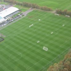
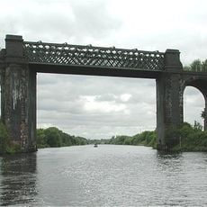
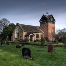
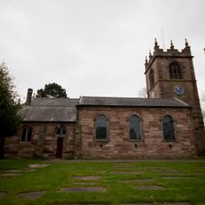
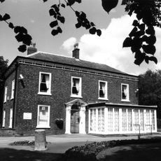
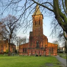
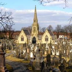
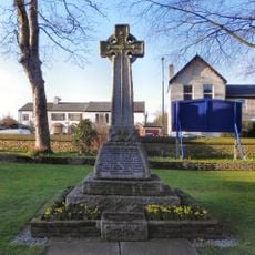
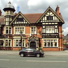
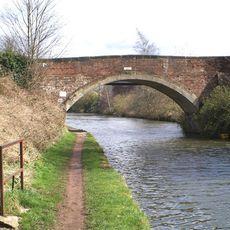
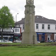
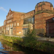
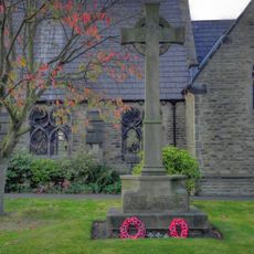
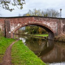
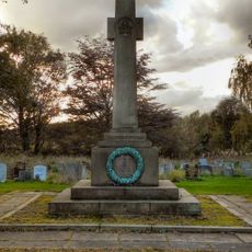
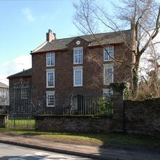
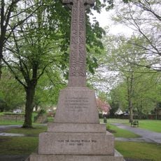
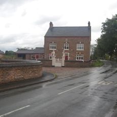
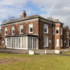
Carrington, village and civil parish in the Metropolitan Borough of Trafford, Greater Manchester, England
Posizione: Trafford
Confina con: Flixton
Coordinate GPS: 53.43100,-2.39200
Ultimo aggiornamento: 3 aprile 2025 alle 06:55
Trafford Training Centre
1.9 km
Cadishead Viaduct
2.5 km
St Martin's Church, Ashton upon Mersey
3.2 km
St Michael's Church
1.4 km
Flixton House
1.7 km
St Alban's Church, Broadheath
4.1 km
St George's Church, Carrington
1.3 km
Birch Moss Covert Nature Reserve
2.1 km
Church of Saint Mary Magdalene
3.5 km
Church of St Mary The Virgin
3.3 km
Church of St Clement
3.2 km
Church of St Mary
2.5 km
Sale And Brooklands Cemetery Chapel
4.6 km
War Memorial in St Mary's Churchyard, Davyhulme
3.3 km
The Volunteer Hotel
4.6 km
Seamon's Moss Bridge
4.3 km
Davyhulme Circle War Memorial
3.8 km
Linotype Works Engine House and Chimney Base
4.4 km
Dunham Town War Memorial
4.8 km
Dunham School Bridge
4.6 km
St Martin's, Ashton-upon-Mersey War Memorial
3.1 km
Manor Farmhouse with forecourt railings and gates
5 km
The Main Office Block To The Linotype Works
4.4 km
Urmston Memorial Cross
3.3 km
The Village Farmhouse including gatepiers
5 km
Saint Martin's School The Old School House
3.4 km
Dunham School
4.6 km
Flixton House And Outbuilding Adjoining Immediately North Of Flixton House
1.7 kmRecensioni
Ha visitato questo luogo? Tocchi le stelle per valutarlo e condividere la Sua esperienza o foto con la community! Provalo ora! Puoi annullarlo in qualsiasi momento.
Scopri tesori nascosti ad ogni viaggio!
Da piccoli caffè caratteristici a panorami nascosti, fuggi dalla folla e scova i posti che fanno davvero per te. La nostra app ti semplifica tutto: ricerca vocale, filtri furbi, percorsi ottimizzati e dritte autentiche da viaggiatori di tutto il mondo. Scaricala subito per vivere l'avventura sul tuo smartphone!
Un nuovo approccio alla scoperta turistica❞
— Le Figaro
Tutti i luoghi che meritano di essere esplorati❞
— France Info
Un’escursione su misura in pochi clic❞
— 20 Minutes