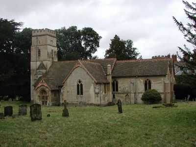
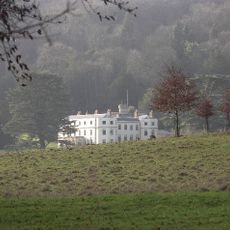
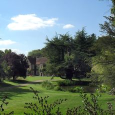
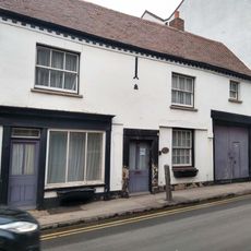
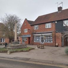
Shirburn, village and civil parish in South Oxfordshire district, Oxfordshire, England
Posizione: South Oxfordshire
Confina con: Watlington, Lewknor, Stoke Talmage, Pyrton
Coordinate GPS: 51.66000,-0.99100
Ultimo aggiornamento: 9 marzo 2025 alle 05:31
Wormsley Park
4.3 km
Castello di Shirburn
302 m
Aston Rowant NNR
2.9 km
Stokenchurch Gap
3.7 km
St Mary's Church, Pyrton
1.2 km
All Saints Church, Shirburn
357 m
Town Hall
1.9 km
Church of St Margaret, Lewknor
2.2 km
Church of St Leonard
2 km
Church of St Nicholas
3.5 km
Watlington Methodist Church
1.9 km
Ye Olde Leathern Bottle Public House
2.1 km
Fox And Hounds Hotel And Public House
1.8 km
St Lawrence
2.2 km
The Plough Inn Public House
1.1 km
Blackhorse Cottage
1.9 km
Pyrton Manor
1.4 km
Hampden Cottage Manor Lodge
1.2 km
Gatehouse Approximately 85 Metres South Of Shirburn Castle
328 m
Model Farm, Engine House And Attached Buildings Approximately 15 Metres South South West Of Farmhouse
1 km
1-7, Blenheim Road
379 m
1-7, Hill Road
1.9 km
The Thatch
1.9 km
Searleys and Simmons And Lawrence
1.9 km
Barley Mow
1.9 km
Charringtons
1.9 km
Three Tuns Antiques
2 km
Watlington War Memorial, Oxfordshire
1.9 kmRecensioni
Ha visitato questo luogo? Tocchi le stelle per valutarlo e condividere la Sua esperienza o foto con la community! Provalo ora! Puoi annullarlo in qualsiasi momento.
Scopri tesori nascosti ad ogni viaggio!
Da piccoli caffè caratteristici a panorami nascosti, fuggi dalla folla e scova i posti che fanno davvero per te. La nostra app ti semplifica tutto: ricerca vocale, filtri furbi, percorsi ottimizzati e dritte autentiche da viaggiatori di tutto il mondo. Scaricala subito per vivere l'avventura sul tuo smartphone!
Un nuovo approccio alla scoperta turistica❞
— Le Figaro
Tutti i luoghi che meritano di essere esplorati❞
— France Info
Un’escursione su misura in pochi clic❞
— 20 Minutes