
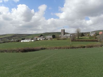
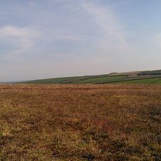
Molland, village in the United Kingdom
Posizione: North Devon
Coordinate GPS: 51.04563,-3.69824
Ultimo aggiornamento: 3 marzo 2025 alle 00:48

Stone circle on Withypool Hill 670m ESE of Portford Bridge
6.3 km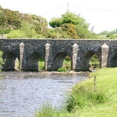
Landacre Bridge
7.4 km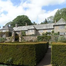
Whitechapel, Bishops Nympton
6.1 km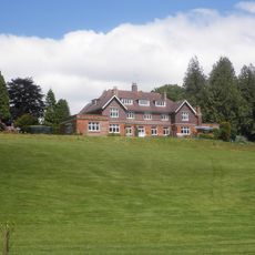
Ashwick House
8.1 km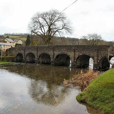
Withypool Bridge
7.6 km
Church of St Andrew
7.7 km
Church of St Petrock
4.3 km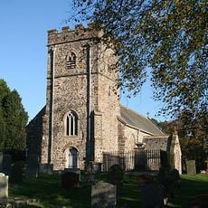
Church of St Peter
7.4 km
Church of St Giles
5.4 km
Church of St Michael
6.1 km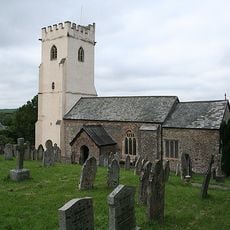
Church of St Peter
5.9 km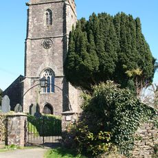
Church of Saint Mary
428 m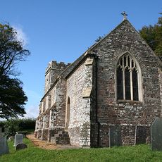
Church of Saint Peter
2.8 km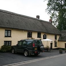
Masons Arms
5.9 km
Peartree Cottage
7.1 km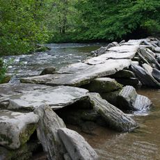
Tarr Steps At Ngr Ss 8677 3211
6.6 km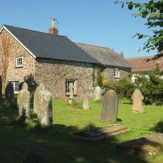
Victoria House
7.2 km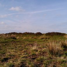
Bowl barrow and round cairn on Withypool Hill, 850m and 820m east of Portford Bridge
6.4 km
Bottreaux Mill Tenement And Adjoining Stable
2.6 km
West Molland Barton
1.7 km
Chest Tomb About 3 Metres South West Of The Tower Of The Church Of St Peter
7.4 km
Barton View Vicarage View
7.1 km
Great Avercombe Farmhouse
7.1 km
Middle Lee Farmhouse
2.1 km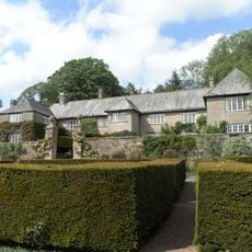
Garden Walls And Gate Piers To Garden Immediately South Of Whitechapel Manor
6.1 km
Gate Piers, Gates And Railings To The Churchyard East Of The Church Of St Mary
7.2 km
Barn And Shippon Approximately 20 Metres To South West Of West Lee Farmhouse
2 kmRecensioni
Ha visitato questo luogo? Tocchi le stelle per valutarlo e condividere la Sua esperienza o foto con la community! Provalo ora! Puoi annullarlo in qualsiasi momento.
Scopri tesori nascosti ad ogni viaggio!
Da piccoli caffè caratteristici a panorami nascosti, fuggi dalla folla e scova i posti che fanno davvero per te. La nostra app ti semplifica tutto: ricerca vocale, filtri furbi, percorsi ottimizzati e dritte autentiche da viaggiatori di tutto il mondo. Scaricala subito per vivere l'avventura sul tuo smartphone!

Un nuovo approccio alla scoperta turistica❞
— Le Figaro
Tutti i luoghi che meritano di essere esplorati❞
— France Info
Un’escursione su misura in pochi clic❞
— 20 Minutes