
Burmarsh, village and civil parish in Kent, United Kingdom
Posizione: Folkestone and Hythe District
Coordinate GPS: 51.04877,0.99620
Ultimo aggiornamento: 8 marzo 2025 alle 18:10
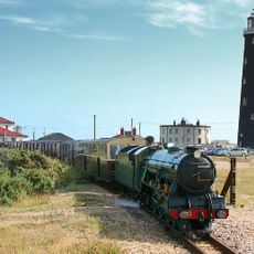
Romney, Hythe and Dymchurch Railway
1.7 km
Port Lympne Wild Animal Park
3.2 km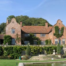
Port Lympne Mansion
2.9 km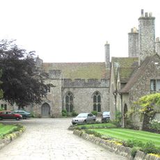
Lympne Castle
3.3 km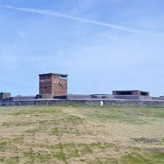
Dymchurch Redoubt
2.8 km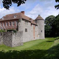
Castello di Westenhanger
5.6 km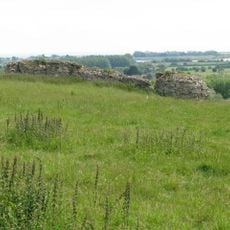
Castra Lemanis
2.8 km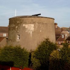
Dymchurch Martello Tower
2.7 km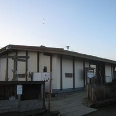
Romney Warren Country Park
6.4 km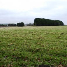
Otterpool Quarry
4.5 km
Lympne Escarpment
3.3 km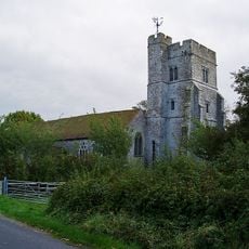
Church of St Peter and St Paul
4.7 km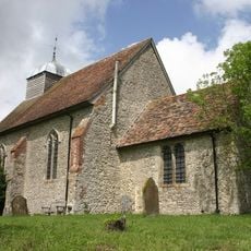
Church of St Rumwold, Bonnington
5 km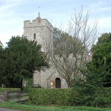
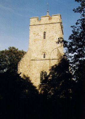
Church of All Saints
51 m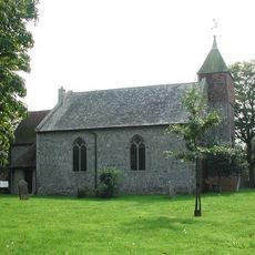
Church of St Peter and St Paul
2.3 km
Church of St Stephen
3.3 km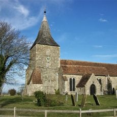
Church of St Mary the Virgin
5.4 km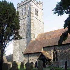
Church of St Martin
4.9 km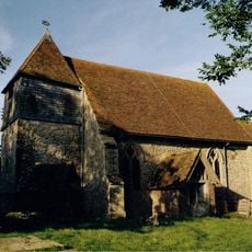
Church of St Peter and St Paul
6.3 km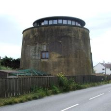
Martello Tower No. 23
1.9 km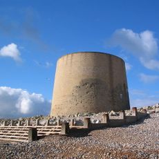
Martello Tower No. 15
5.4 km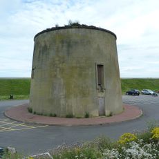
Martello Tower No. 25
3 km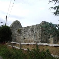
St Mary's Church, West Hythe
3.5 km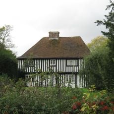
Cobb's Hall
5.5 km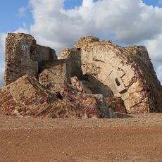
Martello Tower No. 19
3.9 km
Martello Tower No. 14
5.7 km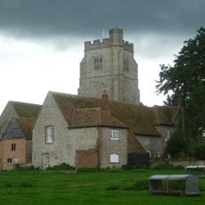
Court Lodge Farmhouse
4.9 km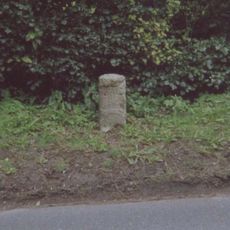
Milestone, London Road, W of jct with Old London Road, by "Romney Elm"
5.7 kmRecensioni
Ha visitato questo luogo? Tocchi le stelle per valutarlo e condividere la Sua esperienza o foto con la community! Provalo ora! Puoi annullarlo in qualsiasi momento.
Scopri tesori nascosti ad ogni viaggio!
Da piccoli caffè caratteristici a panorami nascosti, fuggi dalla folla e scova i posti che fanno davvero per te. La nostra app ti semplifica tutto: ricerca vocale, filtri furbi, percorsi ottimizzati e dritte autentiche da viaggiatori di tutto il mondo. Scaricala subito per vivere l'avventura sul tuo smartphone!

Un nuovo approccio alla scoperta turistica❞
— Le Figaro
Tutti i luoghi che meritano di essere esplorati❞
— France Info
Un’escursione su misura in pochi clic❞
— 20 Minutes