Alsager, town and civil parish in Cheshire East, England
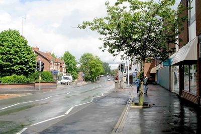
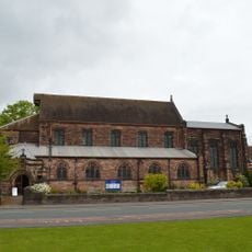
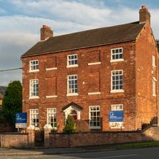
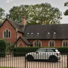
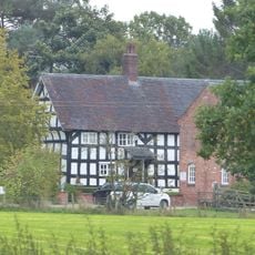
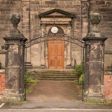
Alsager è una piccola città nel Cheshire East, Inghilterra, con un mix di edifici in mattoni più antichi e case moderne raggruppati intorno a un centro tranquillo con negozi e caffè. Le strade sono di dimensioni gestibili, e la città ha un layout diretto con diverse chiese, tra cui Christ Church della fine del 1700 e St Mary Magdalene della fine del 1800.
Alsager era originariamente un piccolo villaggio agricolo ma si sviluppò significativamente nel XIX secolo quando arrivò la ferrovia. Durante la seconda guerra mondiale, fu costruito un grande impianto di produzione di armi, che accelerò la crescita e servì successivamente come casa per i rifugiati dall'Europa orientale.
Il nome Alsager proviene da tre sorelle che fondarono una scuola nel XIX secolo e plasmarono l'identità della città. Oggi, lo spirito comunitario si vede negli eventi locali come l'Alsager Carnival, dove vicini e visitatori provenienti dai villaggi circostanti si riuniscono.
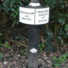
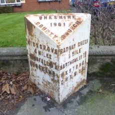
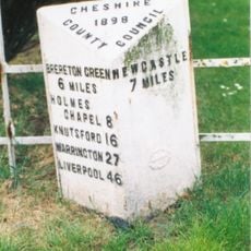
La città è ben servita da una stazione ferroviaria che la collega a città più grandi come Crewe e Derby, oltre a servizi di autobus regolari verso aree vicine. L'autostrada M6 nelle vicinanze facilita l'arrivo in auto, mentre i parchi locali e i percorsi a piedi rendono il vostro soggiorno confortevole.
Nelle vicinanze si trovano antichi tumuli sepolcrali dell'Età del Bronzo chiamati Barrows, risalenti a oltre 3.000 anni fa e che ricordano i primi abitanti dell'area. Questi siti archeologici mostrano che le terre intorno ad Alsager sono state abitate sin dall'antichità e contengono profonde stratificazioni storiche.
La comunità dei viaggiatori curiosi
AroundUs riunisce migliaia di luoghi selezionati, consigli locali e gemme nascoste, arricchiti ogni giorno da oltre 60,000 contributori in tutto il mondo.