
Sutton on the Hill, village and civil parish in South Derbyshire district, Derbyshire, England
Posizione: South Derbyshire
Confina con: Osleston and Thurvaston, Longford, Barton Blount, Church Broughton, Hoon, Hilton, Ash
Coordinate GPS: 52.90000,-1.65300
Ultimo aggiornamento: 6 aprile 2025 alle 20:16
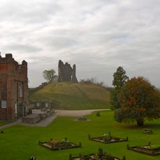
Tutbury Castle
5.1 km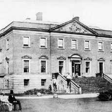
Radbourne Hall
5.5 km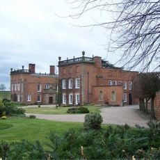
Longford Hall
5 km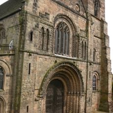
Church of St Mary
5.1 km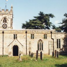
St Andrew's Church, Radbourne
5.7 km
Church of St Helen
3.8 km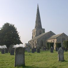
St Mary's Church, Marston on Dove
4 km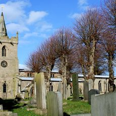
St Michael and All Angels' Church, Church Broughton
2.9 km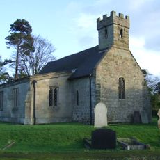
All Saints' Church, Dalbury
3 km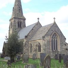
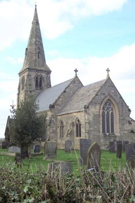
St Michael's Church, Sutton-on-the-Hill
646 m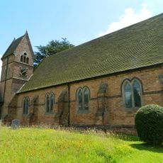
Christ Church, Long Lane
4.7 km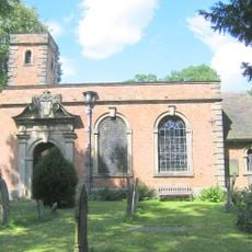
All Saints Church
2.7 km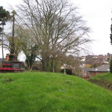
Tutbury War Memorial
5.1 km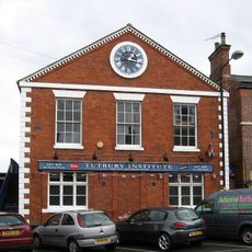
North west block of Tutbury Institute fronting street
5.1 km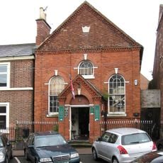
Wesleyan Methodist Chapel
5.2 km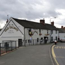
The Old Talbot Inn
3.2 km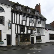
Dog And Partridge Hotel
5.2 km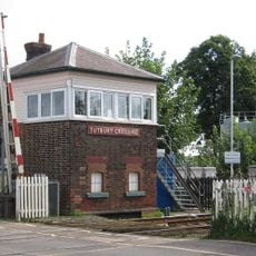
Tutbury Crossing Signal Box
4.4 km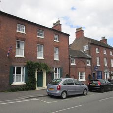
10, High Street
5.2 km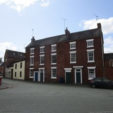
8-10, Duke Street
5.3 km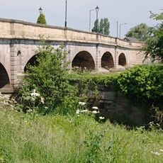
Tutbury Bridge
4.6 km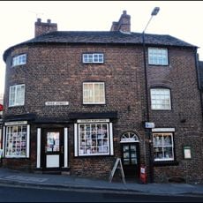
1, Duke Street
5.3 km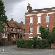
1, Castle Street
5.3 km
Gates And Gatepiers To East Of Longford Hall
4.9 km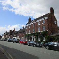
6 And 6A, High Street
5.2 km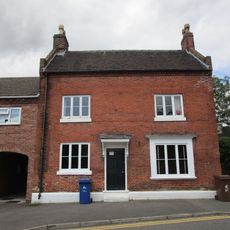
5, Monk Street
5.3 km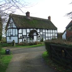
Chapelhouse Farmhouse
3.3 km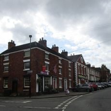
22 And 24, High Street
5.1 kmRecensioni
Ha visitato questo luogo? Tocchi le stelle per valutarlo e condividere la Sua esperienza o foto con la community! Provalo ora! Puoi annullarlo in qualsiasi momento.
Scopri tesori nascosti ad ogni viaggio!
Da piccoli caffè caratteristici a panorami nascosti, fuggi dalla folla e scova i posti che fanno davvero per te. La nostra app ti semplifica tutto: ricerca vocale, filtri furbi, percorsi ottimizzati e dritte autentiche da viaggiatori di tutto il mondo. Scaricala subito per vivere l'avventura sul tuo smartphone!

Un nuovo approccio alla scoperta turistica❞
— Le Figaro
Tutti i luoghi che meritano di essere esplorati❞
— France Info
Un’escursione su misura in pochi clic❞
— 20 Minutes