
Bishop's Castle, Città mercato medievale nel Shropshire, Inghilterra
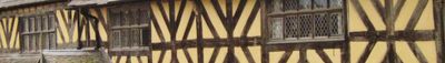
Bishop's Castle si sviluppa su un ripido pendio con oltre 160 edifici catalogati che mostrano elementi architettonici Tudor e georgiani.
Il castello originale di tipo motte e bailey venne costruito nel 1085 dal Vescovo di Hereford per difendersi dalle incursioni gallesi.
La città mantiene una tradizione di mercato settimanale dal 1249 e celebra eventi annuali come la Fiera di San Michele e il Festival della Birra.
I visitatori trovano alloggio al Three Tuns e Castle Hotel, mentre il complesso SpArC offre strutture sportive e spazi per spettacoli.
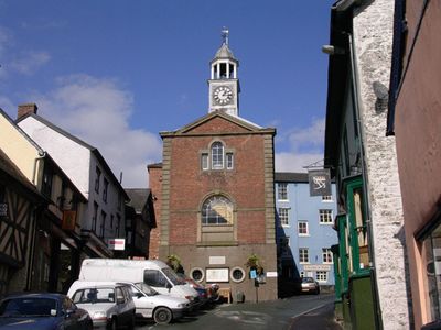
Il Municipio restaurato del 1760 funge da punto centrale per mercati locali e fiere artigianali durante tutto l'anno.
Posizione: Shropshire
Sito web: http://bishopscastle.co.uk
Coordinate GPS: 52.49300,-2.99780
Ultimo aggiornamento: 27 maggio 2025 alle 09:48
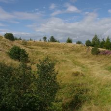
Bury Ditches
5.1 km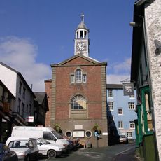
Bishop's Castle Town Hall
134 m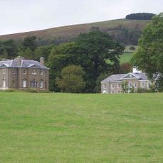
Linley Hall
4.7 km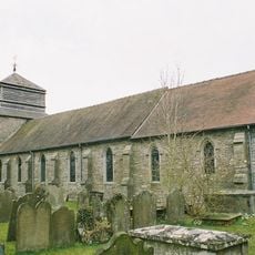
Church of St Peter
3.3 km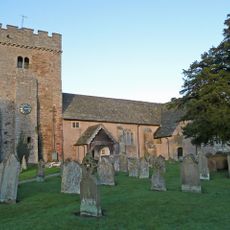
Church of St Michael and All Angels
4 km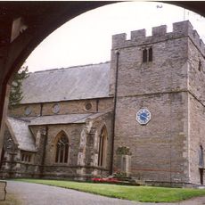
Church of St John the Baptist
392 m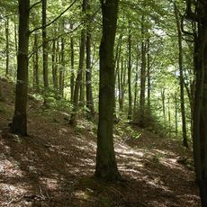
Pentre Wood
5 km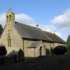
Church of the Holy Trinity
2.6 km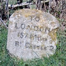
Milestone Approximately 1300 Metres To South-East Of The Junction Of Stank Lane With The B4385
2.5 km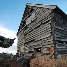
Barn approximately 60 metres to north-east of Lower Lea Farmhouse
2.8 km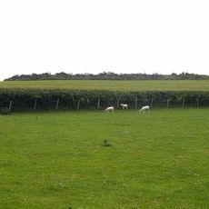
Caer Din
5.1 km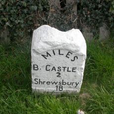
Milestone Approximately 470 Metres To North Of Junction Of A489 With B4383
2.9 km
Milestone Approximately 220 Metres To South Of Heblands Cottage
1.5 km
Stables At Linley Hall
4.8 km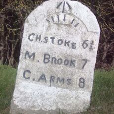
Milestone Approximately 1,000 Metres To North-East Of Lea Castle
3.6 km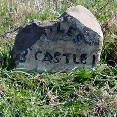
Milestone Approximately 300 Metres To East Of Lydham Manor
1.5 km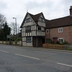
Lydham Castle
2.5 km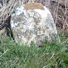
Milestone at NGR SO3310687794
1.3 km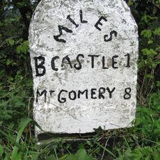
Milestone Approximately 260 Metres To South Of Heblands Cottages (That Part In Bishop's Castle Cp)
1.4 km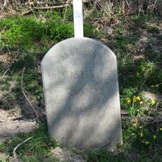
Milestone West Of Totterbank Bridge At Ngr So 364 876
4.2 km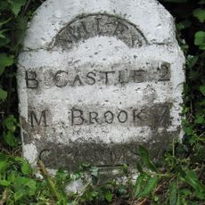
Milestone South South East Of Lea At Ngr So 353 887
2.9 km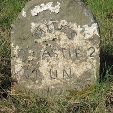
Milestone Approximately 180 Metres To North Of Wootton House
2.5 km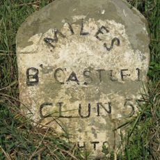
Milestone Approximately 550 Metres South-West Of Junction Of A488 With B4385
1 km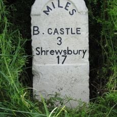
Milestone Approximately 130 Metres To South-West Of Greenfield Cottages
4.1 km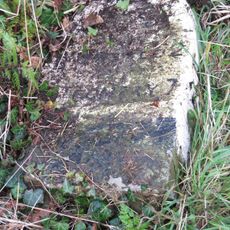
Milestone Approximately 390 Metres To East Of Upper Broughton Farmhouse
2.5 km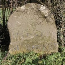
Milestone Approximately 230 Metres North West Of Junction Of A489 With B4383
2.6 km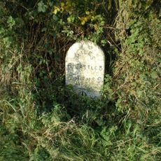
Milestone, Worthen/Walcot; W of Lydbury North
3.3 km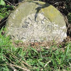
Milestone, E of Lydbury North
4.4 kmRecensioni
Ha visitato questo luogo? Tocchi le stelle per valutarlo e condividere la Sua esperienza o foto con la community! Provalo ora! Puoi annullarlo in qualsiasi momento.
Scopri tesori nascosti ad ogni viaggio!
Da piccoli caffè caratteristici a panorami nascosti, fuggi dalla folla e scova i posti che fanno davvero per te. La nostra app ti semplifica tutto: ricerca vocale, filtri furbi, percorsi ottimizzati e dritte autentiche da viaggiatori di tutto il mondo. Scaricala subito per vivere l'avventura sul tuo smartphone!

Un nuovo approccio alla scoperta turistica❞
— Le Figaro
Tutti i luoghi che meritano di essere esplorati❞
— France Info
Un’escursione su misura in pochi clic❞
— 20 Minutes