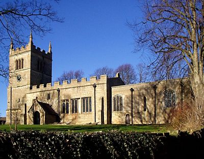
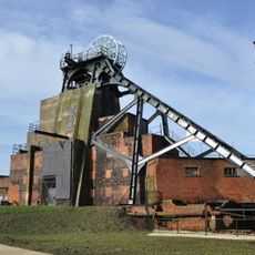
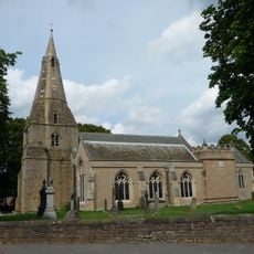
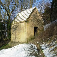
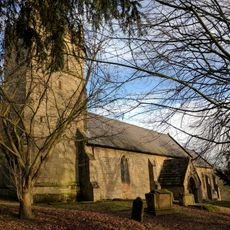
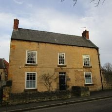
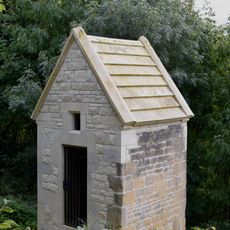
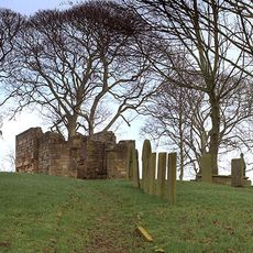
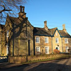
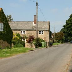
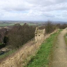
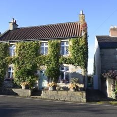
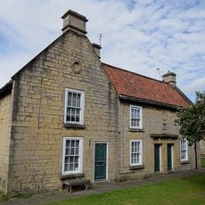
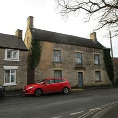
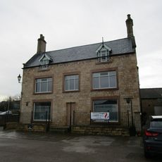
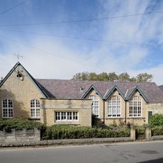
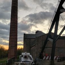
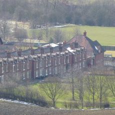
Scarcliffe, Villaggio in Derbyshire, Inghilterra
Posizione: Bolsover
Confina con: Elmton with Creswell, Old Bolsover, Sutton cum Duckmanton, Heath and Holmewood, Ault Hucknall, Glapwell, Pleasley, Shirebrook
Coordinate GPS: 53.21300,-1.26000
Ultimo aggiornamento: 19 marzo 2025 alle 12:38
Pleasley Colliery
4.4 km
Church of St John the Baptist, Ault Hucknall
4.4 km
Church of the Holy Trinity
3.2 km
St Leonard's Church, Scarcliffe
62 m
Church of St Mary and St Lawrence, Bolsover
2.6 km
Bolsover Cundy House
3.3 km
Bolsover Castle
3.1 km
Church of the Holy Cross
2.4 km
Church of All Saints
5 km
Church of St Michael
4.2 km
2-4, Church Street
2.7 km
Former Presbyterian Chapel
2.9 km
Ruins of Heath Old Church
4.6 km
Bolsover War Memorial
2.8 km
Chest tomb 10 metres south west of Church of St John the Baptist
4.5 km
Pleasley War Memorial
4.4 km
The Old Hall
2.8 km
Rowthorne Lodge
4.6 km
Hall Farmhouse
4.1 km
Pear Tree Farmhouse
4 km
Conduit House to South East of St Bernadette's Church
2.7 km
39, High Street
2.8 km
15-19, Cotton Street
2.8 km
49, High Street
2.8 km
31, Market Place
2.8 km
St Mary's House The School House
3 km
Enginehouse, Chimney And Headstocks At The Former Pleasley Colliery
4.3 km
Numbers 7-21 Including The Attached And The Associated Back Yard Walls
3.5 kmRecensioni
Ha visitato questo luogo? Tocchi le stelle per valutarlo e condividere la Sua esperienza o foto con la community! Provalo ora! Puoi annullarlo in qualsiasi momento.
Scopri tesori nascosti ad ogni viaggio!
Da piccoli caffè caratteristici a panorami nascosti, fuggi dalla folla e scova i posti che fanno davvero per te. La nostra app ti semplifica tutto: ricerca vocale, filtri furbi, percorsi ottimizzati e dritte autentiche da viaggiatori di tutto il mondo. Scaricala subito per vivere l'avventura sul tuo smartphone!
Un nuovo approccio alla scoperta turistica❞
— Le Figaro
Tutti i luoghi che meritano di essere esplorati❞
— France Info
Un’escursione su misura in pochi clic❞
— 20 Minutes