
Lingen, village and civil parish in Herefordshire, UK
Posizione: Herefordshire
Coordinate GPS: 52.29764,-2.93198
Ultimo aggiornamento: 3 marzo 2025 alle 16:52
Wigmore Castle
4.9 km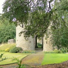
Brampton Bryan Castle
5.6 km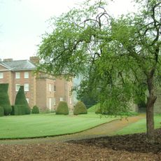
The Hall, Brampton Bryan
5.6 km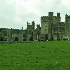
Stanage Park
5.7 km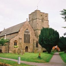
St Andrew's Church
5.5 km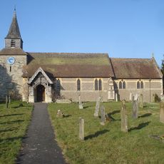
Church of St Michael
183 m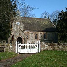
Church of St Barnabas, Brampton Bryan
5.5 km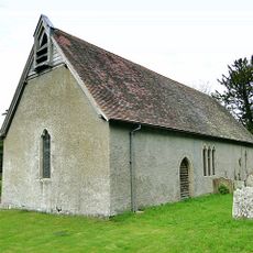
Church of All Saints
2.1 km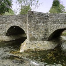
Lugg Bridge
5.4 km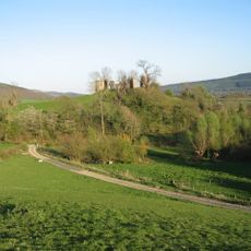
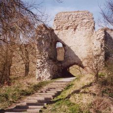
Stapleton Castle
4.4 km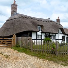
The Thatched Cottage
5.4 km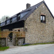
Barn About 50 Yards East Of Court House Farmhouse
137 m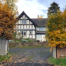
The Old Farmhouse
51 m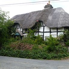
The Green
5.2 km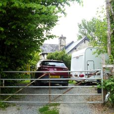
The Old Hall
5.3 km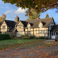
The Forge And Building Attached To West
263 m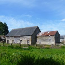
Barn And Stables About 100 Yards South-West Of Stocken Farmhouse
5.1 km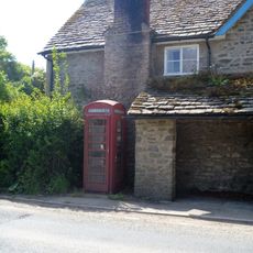
K6 Telephone Kiosk
5.4 km
Barn About 25 Yards North Of Court House Farmhouse
144 m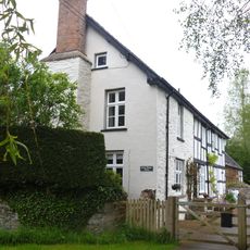
Court House Farmhouse
118 m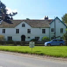
The Manor House
5.4 km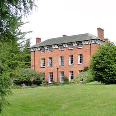
Kinsham Court
2.1 km
Churchyard Walls To South And East Of The Church Of St Mary Magdalen
5.5 km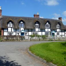
2 And 3, The Green
5.4 km
Drinking Fountain At National Grid Reference So369724
5.5 km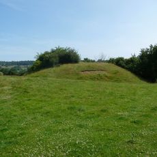
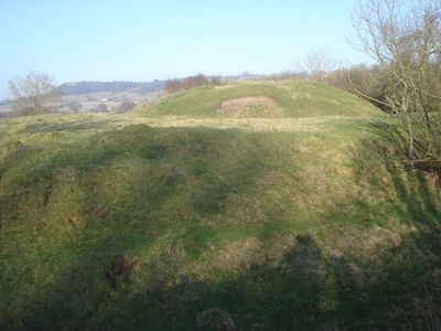
Lingen Castle
242 m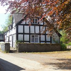
Turn Farmhouse
285 m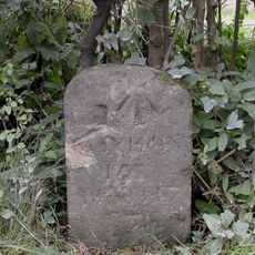
Milestone, Moorlands; 450m W Moorlands
4 kmHa visitato questo luogo? Tocchi le stelle per valutarlo e condividere la Sua esperienza o foto con la community! Provalo ora! Puoi annullarlo in qualsiasi momento.
Scopri tesori nascosti ad ogni viaggio!
Da piccoli caffè caratteristici a panorami nascosti, fuggi dalla folla e scova i posti che fanno davvero per te. La nostra app ti semplifica tutto: ricerca vocale, filtri furbi, percorsi ottimizzati e dritte autentiche da viaggiatori di tutto il mondo. Scaricala subito per vivere l'avventura sul tuo smartphone!

Un nuovo approccio alla scoperta turistica❞
— Le Figaro
Tutti i luoghi che meritano di essere esplorati❞
— France Info
Un’escursione su misura in pochi clic❞
— 20 Minutes