
Hilmarton, village in United Kingdom
Posizione: Wiltshire
Coordinate GPS: 51.47600,-1.97200
Ultimo aggiornamento: 11 marzo 2025 alle 09:12

Church of St Peter
5.7 km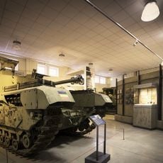
REME Museum Car Park
3.2 km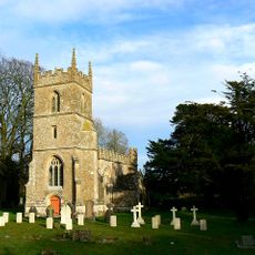
Church of All Saints
5.7 km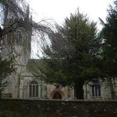
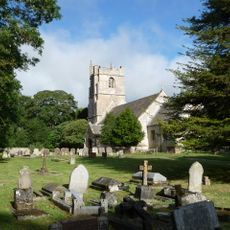
Church of St Laurence
120 m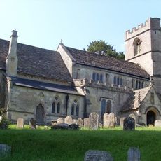
Church of St Swithin
3.8 km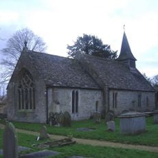
Church of St Giles
4.6 km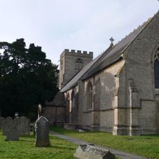
Church of St Michael and All Angels
3.5 km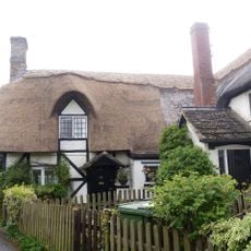
33-35, Church Road
166 m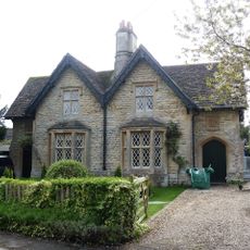
30 and 31, Church Road
93 m
41-44, Church Road
146 m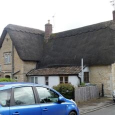
39 and 40, Church Road
159 m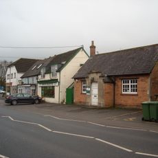
Lyneham Library
3.5 km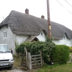
Longridge Cottage
1.7 km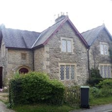
25 & 26, Compton Road
41 m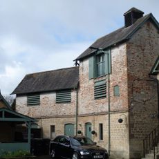
Brewery To Rear Of The Duke Inn
180 m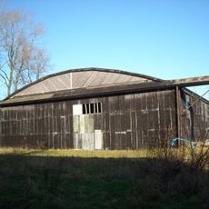
Two Former Hangars On North Side Of Former Airfield
5.1 km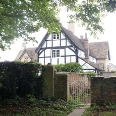
Manor Farmhouse
79 m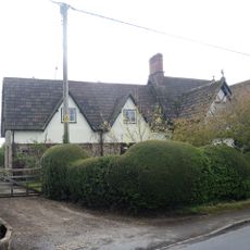
The Old Forge
65 m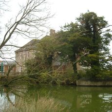
Queen's Court Farmhouse
4.7 km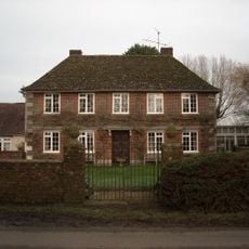
Greenway Farmhouse
4.5 km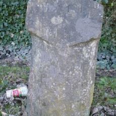
Milestone Opposite No 85 (Post Office)
4.2 km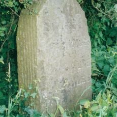
Milestone About 200 Metres North Of Hilmarton Bridge
545 m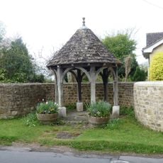
Well House And Containing Wall
13 m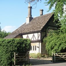
Tudor Lodge
4.1 km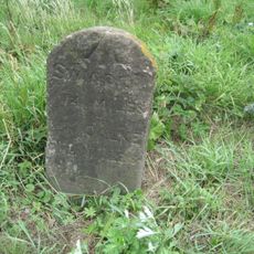
Milestone On East Side By Drive To Lower Penn Cottages
1.1 km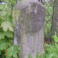
Milestone Opposite No 23 Calne Road
3.4 km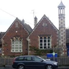
Primary School
73 m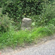
Milestone, Calne Road, S of new roundabout, between jct with Porte Marsh Industrial Estate and lane to High Penn Farm
3 kmRecensioni
Ha visitato questo luogo? Tocchi le stelle per valutarlo e condividere la Sua esperienza o foto con la community! Provalo ora! Puoi annullarlo in qualsiasi momento.
Scopri tesori nascosti ad ogni viaggio!
Da piccoli caffè caratteristici a panorami nascosti, fuggi dalla folla e scova i posti che fanno davvero per te. La nostra app ti semplifica tutto: ricerca vocale, filtri furbi, percorsi ottimizzati e dritte autentiche da viaggiatori di tutto il mondo. Scaricala subito per vivere l'avventura sul tuo smartphone!

Un nuovo approccio alla scoperta turistica❞
— Le Figaro
Tutti i luoghi che meritano di essere esplorati❞
— France Info
Un’escursione su misura in pochi clic❞
— 20 Minutes