
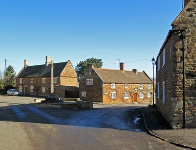
Belton-in-Rutland, village in United Kingdom
Posizione: Rutland
Coordinate GPS: 52.60000,-0.80000
Ultimo aggiornamento: 12 aprile 2025 alle 02:03
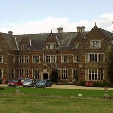
Launde Abbey
3.8 km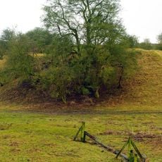
Sauvey Castle
5 km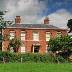
Stockerston Hall
4 km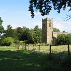
St Mary the Virgin's Church, Ayston
4.6 km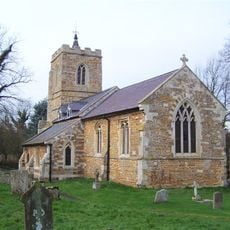
St Peter's Church, Allexton
646 m
Withcote Chapel
5.2 km
Leighfield Forest SSSI
4.1 km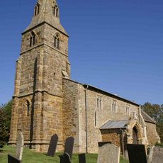
St Botolph's Church, Wardley
1.7 km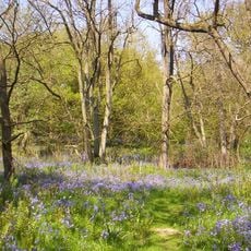
Launde Big Wood
3.9 km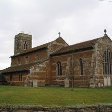
Church of St Mary and St Andrew
3.8 km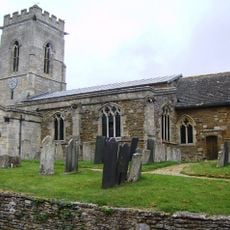
Church of St Peter
500 m
Allexton Wood
1.8 km
Church of St Peter
3.9 km
Church of St Michael
2.9 km
Church of All Saints
3.1 km
Church of St Peter
4 km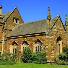
Launde Abbey Chapel
3.8 km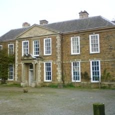
Withcote Hall
5.2 km
Holly Cottage
2.9 km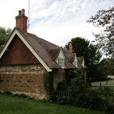
The Old Rectory
3.9 km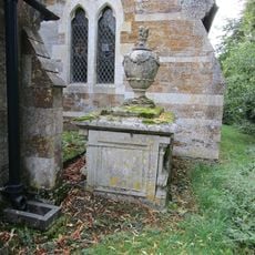
Hotchkin Tomb At Churchyard Of St Peter, Close To East Wall Of North Aisle Of Church
632 m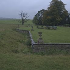
Launde Abbey Ha Ha And Urns
3.8 km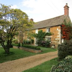
12, Main Street
4.7 km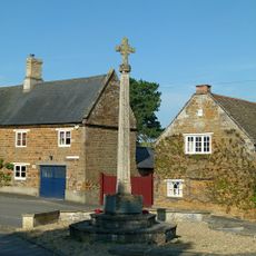
Belton-in-Rutland War Memorial
532 m
1, Main Street
4.6 km
Church Farm Farmhouse
3.8 km
3, Main Street
4.7 km
Old Hall
499 mRecensioni
Ha visitato questo luogo? Tocchi le stelle per valutarlo e condividere la Sua esperienza o foto con la community! Provalo ora! Puoi annullarlo in qualsiasi momento.
Scopri tesori nascosti ad ogni viaggio!
Da piccoli caffè caratteristici a panorami nascosti, fuggi dalla folla e scova i posti che fanno davvero per te. La nostra app ti semplifica tutto: ricerca vocale, filtri furbi, percorsi ottimizzati e dritte autentiche da viaggiatori di tutto il mondo. Scaricala subito per vivere l'avventura sul tuo smartphone!

Un nuovo approccio alla scoperta turistica❞
— Le Figaro
Tutti i luoghi che meritano di essere esplorati❞
— France Info
Un’escursione su misura in pochi clic❞
— 20 Minutes