
Baulking, village and civil parish in Vale of White Horse district, Oxfordshire, England
Posizione: Vale of White Horse
Coordinate GPS: 51.61479,-1.54288
Ultimo aggiornamento: 25 marzo 2025 alle 04:12
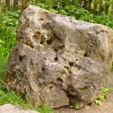
Blowing Stone
3.7 km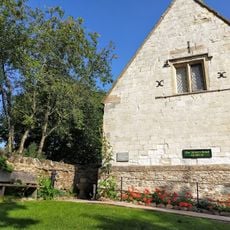
Tom Brown’s School Museum
2.2 km
Church of St Faith
2.8 km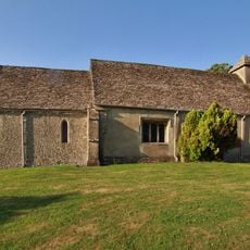
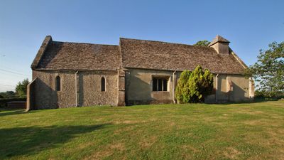
Church of St Nicholas
59 m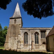
Church of the Holy Rood
4.4 km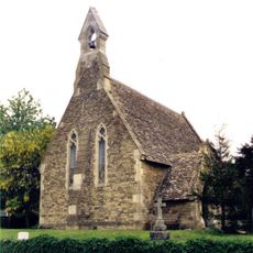
Church of St John
2.7 km
Church of St John the Baptist
3.3 km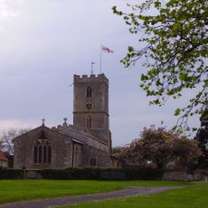
Church of St Denys
3.7 km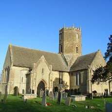
Church of St Mary
2.1 km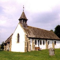
Church of All Saints
4 km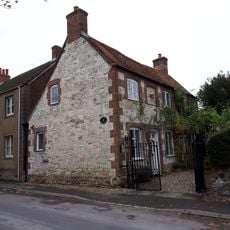
The Old Chapel House And Attached Gates
3.1 km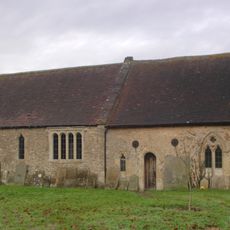
The Old Church of St George
4.5 km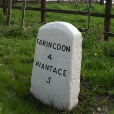
Milestone
3.2 km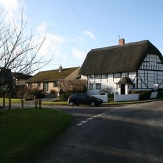
Corner Cottage
2.7 km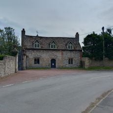
Kingston Lisle Park, The Lodge And Attached Gate Piers
3.3 km
Manor Farmhouse
3.2 km
Coxs Hall
3.3 km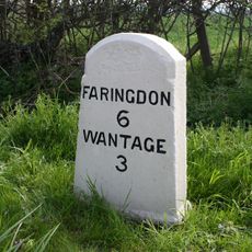
Milestone At Su 3612 9010
4.4 km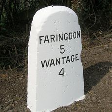
Milestone At Su 3505 9126
3.3 km
Thornhill House
3.2 km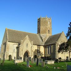
Uffington
3.6 km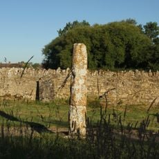
Base And Stump Of Churchyard Cross Approximately 12 Metres North Of Church Of All Saints
4 km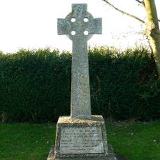
Kingston Lisle War Memorial
2.8 km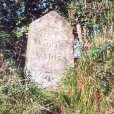
Milestone, Icknield Way; W of Blowing Stone
3.7 km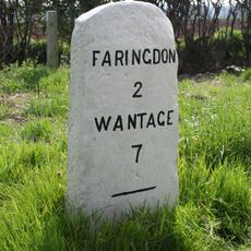
Milestone
3.6 km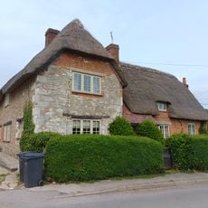
Little Farmhouse
3.2 km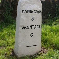
Milestone, Faringdon Road; E of Stanford Quarry
3.4 km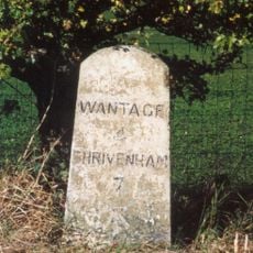
Milestone, Icknield Way; top of rise by Westcot
4.2 kmRecensioni
Ha visitato questo luogo? Tocchi le stelle per valutarlo e condividere la Sua esperienza o foto con la community! Provalo ora! Puoi annullarlo in qualsiasi momento.
Scopri tesori nascosti ad ogni viaggio!
Da piccoli caffè caratteristici a panorami nascosti, fuggi dalla folla e scova i posti che fanno davvero per te. La nostra app ti semplifica tutto: ricerca vocale, filtri furbi, percorsi ottimizzati e dritte autentiche da viaggiatori di tutto il mondo. Scaricala subito per vivere l'avventura sul tuo smartphone!

Un nuovo approccio alla scoperta turistica❞
— Le Figaro
Tutti i luoghi che meritano di essere esplorati❞
— France Info
Un’escursione su misura in pochi clic❞
— 20 Minutes