
Shilbottle, village and civil parish in Northumberland, United Kingdom
Posizione: Northumberland
Coordinate GPS: 55.37210,-1.69150
Ultimo aggiornamento: 4 aprile 2025 alle 08:29

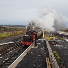
Aln Valley Railway
3.4 km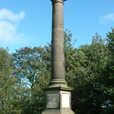
Camphill Column
3.9 km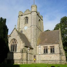
Church of St James
59 m
South Chapel At Alnwick Cemetery
3.5 km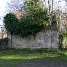
Eyecatcher In Swansfield Park Wall West Side Near 'Eastview'
4.1 km
North Chapel At Alnwick Cenetery
3.5 km
House of Hardy Fishing Tackle Museum
3.5 km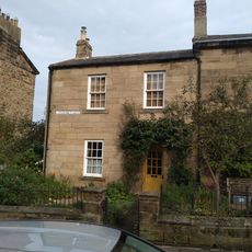
1 Lovaine Place, Percy Terrace
4.3 km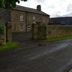
High Buston Farmhouse
3.5 km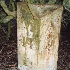
Milepost Opposite Sunnyside
3.4 km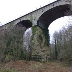
Cawledge Viaduct
3.3 km
Percy Villa
4.3 km
Lodge And Gates At Alnwick Cemetery
3.5 km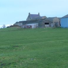
Colliery Farmhouse
947 m
1, South Street
4.3 km
Happy Haven
4.3 km
8 And 9, Percy Terrace
4.4 km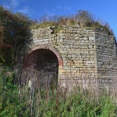
Old Limekiln 200 Metres South Of Townfoot Farm
557 m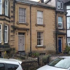
13, Percy Terrace
4.3 km
10 and 11, Percy Terrace
4.3 km
The Dukes School
4.2 km
Council Office Former Workhouse
4.2 km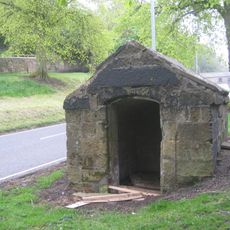
High Pant (Clayport Bank)
4.4 km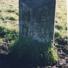
Milepost On East Side Of Old A1 210 Metres North Of Cawledge Bridge
2.4 km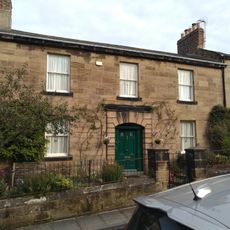
2 Lovaine Place, Percy Terrace
4.3 km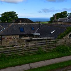
Coach House Range To North West Of High Buston House
3.5 km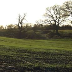
Low Buston medieval settlement, 231m south east of Low Buston Hall
3.4 km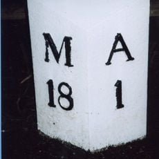
Milepost, opp. S end of the cemetery, by the bridge
3.4 kmRecensioni
Ha visitato questo luogo? Tocchi le stelle per valutarlo e condividere la Sua esperienza o foto con la community! Provalo ora! Puoi annullarlo in qualsiasi momento.
Scopri tesori nascosti ad ogni viaggio!
Da piccoli caffè caratteristici a panorami nascosti, fuggi dalla folla e scova i posti che fanno davvero per te. La nostra app ti semplifica tutto: ricerca vocale, filtri furbi, percorsi ottimizzati e dritte autentiche da viaggiatori di tutto il mondo. Scaricala subito per vivere l'avventura sul tuo smartphone!

Un nuovo approccio alla scoperta turistica❞
— Le Figaro
Tutti i luoghi che meritano di essere esplorati❞
— France Info
Un’escursione su misura in pochi clic❞
— 20 Minutes