Woolpit, villaggio britannico
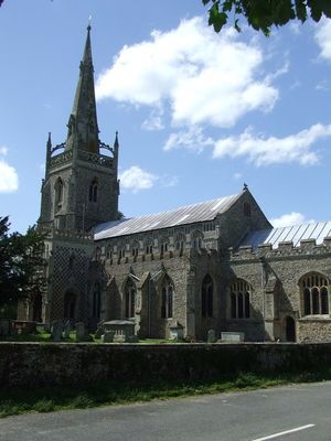
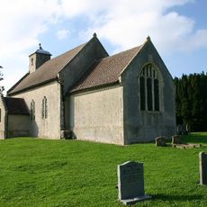
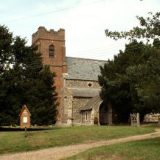
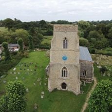
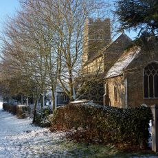
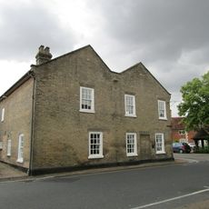
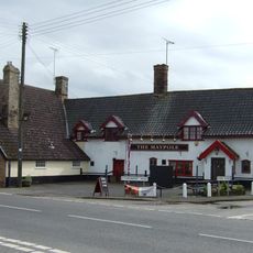
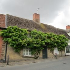
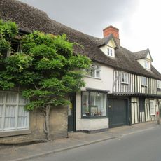
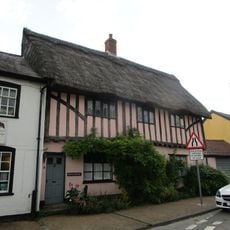
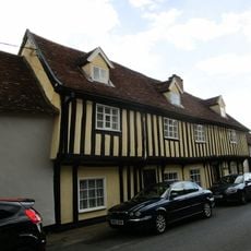
Woolpit è un piccolo villaggio nel Suffolk con strade strette fiancheggiate da antiche case in mattoni e tegole che gli conferiscono un carattere tranquillo. Al suo centro si erge una chiesa con un alto campanile e una guglia appuntita che fu colpita da un fulmine nel 1852 e successivamente ricostruita, fungendo da punto di riferimento locale.
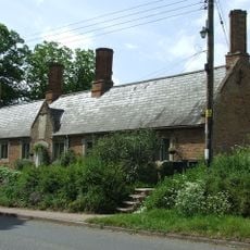
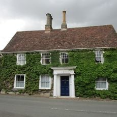
Woolpit è stato documentato per la prima volta nel 1005 quando il guerriero Ulfketel concesse terre a un santuario religioso, dopo il quale rimase sotto il controllo abbaziale per secoli. Il villaggio si sviluppò come insediamento di mercato con fiere annuali nel Medioevo, poi divenne noto per la produzione di mattoni e argilla dal 1500 al 1900.
Il nome Woolpit è documentato dal 1005 circa e probabilmente deriva da un'antica parola per trappola di lupi oppure è collegato al guerriero Ulfketel. Il villaggio ha attratto pellegrini nel Medioevo grazie al suo santuario dedicato alla Madonna di Woolpit, che ha plasmato la vita religiosa e le tradizioni locali.
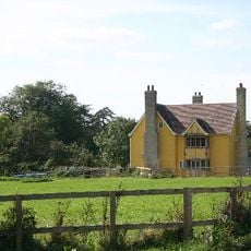
Il villaggio si trova su terre argillose a Mid Suffolk ed è facilmente raggiungibile in treno o in auto da città vicine come Stowmarket o Bury St. Edmunds. L'impianto tranquillo con strade strette lo rende semplice da esplorare a piedi, con la chiesa che funge da punto di riferimento naturale per l'orientamento.
Una celebre leggenda medievale racconta la storia di due bambini con la pelle verde scoperti nei campi che parlavano una lingua sconosciuta e sembravano disorientati. La ragazza sopravvisse e in seguito si sposò, mentre il ragazzo no, e questa strana storia ha ispirato secoli di speculazioni e riadattamenti.
La comunità dei viaggiatori curiosi
AroundUs riunisce migliaia di luoghi selezionati, consigli locali e gemme nascoste, arricchiti ogni giorno da oltre 60,000 contributori in tutto il mondo.