
Marden, civil parish in Chichester, West Sussex, England
Posizione: Chichester
Coordinate GPS: 50.92987,-0.85556
Ultimo aggiornamento: 9 marzo 2025 alle 06:25

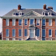
Uppark
3.6 km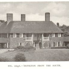
Monkton House
3.4 km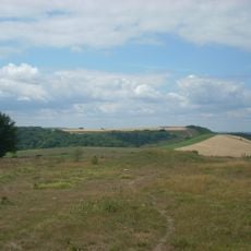
Devil's Jumps
2.9 km
Vandalian Tower
3.7 km
Harting Beacon: a hilltop enclosure, Anglo-Saxon burial mound and telegraph station on Beacon and Pen Hills
3.2 km
Goosehill Camp
3.5 km
Villa rustica of Chilgrove - 1
4 km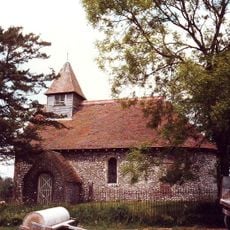
Church of St Mary
1 km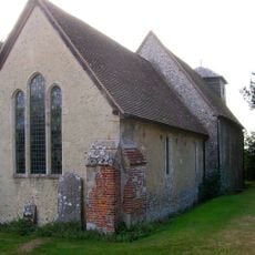
Church of St Michael
1.4 km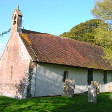
Church of St Andrew
4.2 km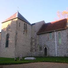
The Parish Church of St Mary
3.6 km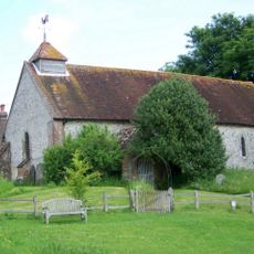
Church of St Peter
529 m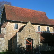
The Parish Church of St Paul
4.8 km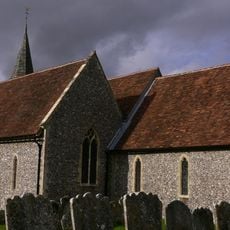
The Parish Church of St Mary
2.8 km
Ruins Of The Old Parish Church Of St Mary
4 km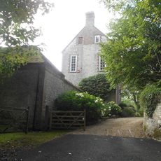
Treyford Manor
4 km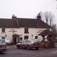
The Coach And Horses Public House
2.9 km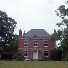
Kent House
4.6 km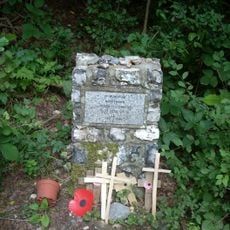
Hptm J. Oestermann Memorial, Treyford
2.7 km
The Stable Block At Up Park To The North West Of The House
3.6 km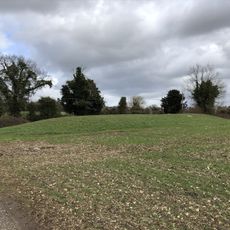
Bevis's Thumb long barrow, 370m west of Fernbeds Farm
1.8 km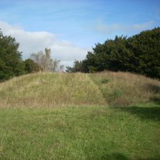
Two bowl barrows on Bow Hill forming part of The Devil's Humps round barrow cemetery
4.3 km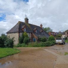
Marden Farmhouse
4.5 km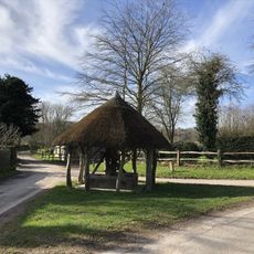
The Village Well Head And Pump
555 m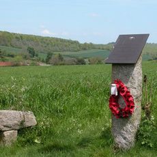
Plt Off B. Własnowolski Memorial, Stoughton, West Sussex
3.7 km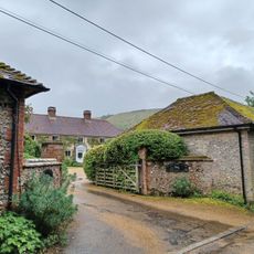
Treyford Manor Farmhouse
4 km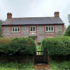
Brook House
3.8 km
Bowl barrow on Bepton Down
5.3 kmRecensioni
Ha visitato questo luogo? Tocchi le stelle per valutarlo e condividere la Sua esperienza o foto con la community! Provalo ora! Puoi annullarlo in qualsiasi momento.
Scopri tesori nascosti ad ogni viaggio!
Da piccoli caffè caratteristici a panorami nascosti, fuggi dalla folla e scova i posti che fanno davvero per te. La nostra app ti semplifica tutto: ricerca vocale, filtri furbi, percorsi ottimizzati e dritte autentiche da viaggiatori di tutto il mondo. Scaricala subito per vivere l'avventura sul tuo smartphone!

Un nuovo approccio alla scoperta turistica❞
— Le Figaro
Tutti i luoghi che meritano di essere esplorati❞
— France Info
Un’escursione su misura in pochi clic❞
— 20 Minutes