
Freethorpe, village in the United Kingdom
Posizione: Broadland
Coordinate GPS: 52.58900,1.58165
Ultimo aggiornamento: 25 marzo 2025 alle 08:45
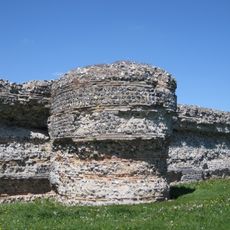
Forte romano di Burgh Castle
4.8 km
Gariannonum
4.8 km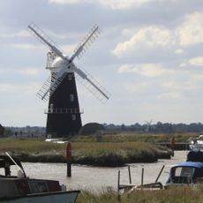
Berney Arms Windmill
3.8 km
Halvergate Marshes
2.3 km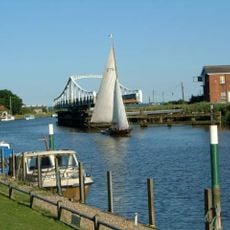
Reedham Swing Bridge
3.4 km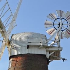
Stracey Arms Windpump
4.2 km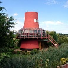
Reedham Ferry Drainage Mill
3.8 km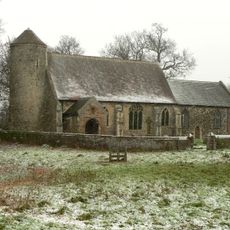
St Mary's Church, Moulton
2.9 km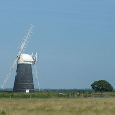
Mutton's Mill
1.9 km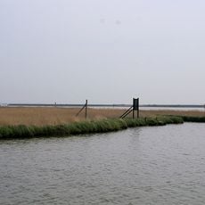
Berney Marshes RSPB reserve
3.7 km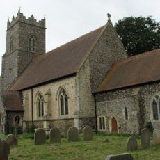
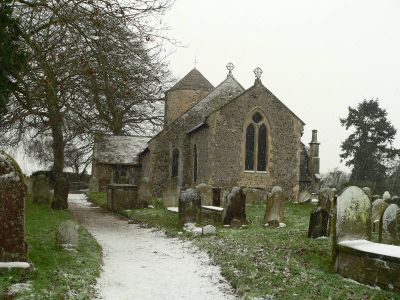
Church of St Andrew
426 m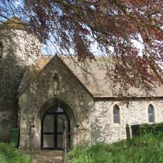
Church of All Saints
1.9 km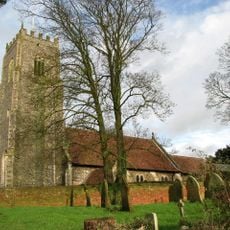
Church of St John the Baptist
2.6 km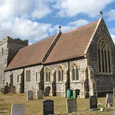
Church of St Botolph
3.3 km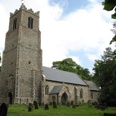
Church of St Peter and St Paul
1.9 km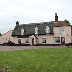
Red Lion Public House
2 km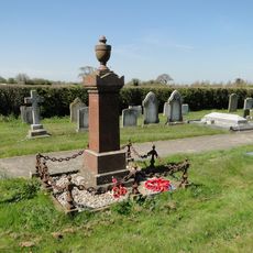
Freethorpe War Memorial
1.9 km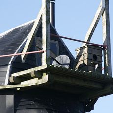
Toft Monks (Detached) Windpump
4.6 km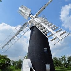
Polkey's Mill
2.3 km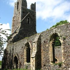
Remains of Church of St Peter and St Paul
3.1 km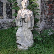
Former Tower Finial, 22 Cm South West Of South West Nave Buttress Of Church Of St Peter And St Paul
1.9 km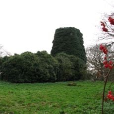
Remains of Church of St Edmunds
3.6 km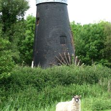
Tunstall Dyke Drainage Mill
4.2 km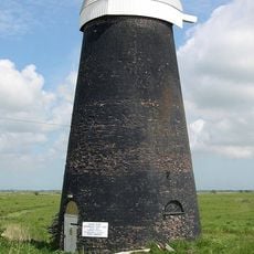
Cadges Mill 160 Metres North East Of Seven Mile House
2.4 km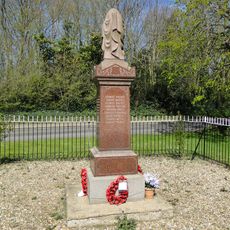
Halvergate and Tunstall War Memorial, including gated railings
1.9 km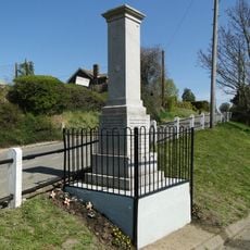
Reedham War Memorial
3.5 km
Tunstall Dyke Smock Mill
4.2 km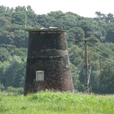
Caldecott Mill At Tg 465021
4.7 kmRecensioni
Ha visitato questo luogo? Tocchi le stelle per valutarlo e condividere la Sua esperienza o foto con la community! Provalo ora! Puoi annullarlo in qualsiasi momento.
Scopri tesori nascosti ad ogni viaggio!
Da piccoli caffè caratteristici a panorami nascosti, fuggi dalla folla e scova i posti che fanno davvero per te. La nostra app ti semplifica tutto: ricerca vocale, filtri furbi, percorsi ottimizzati e dritte autentiche da viaggiatori di tutto il mondo. Scaricala subito per vivere l'avventura sul tuo smartphone!

Un nuovo approccio alla scoperta turistica❞
— Le Figaro
Tutti i luoghi che meritano di essere esplorati❞
— France Info
Un’escursione su misura in pochi clic❞
— 20 Minutes