
Poynings, village in United Kingdom
Posizione: Mid Sussex
Sito web: http://www.poynings.net/
Sito web: http://poynings.net
Coordinate GPS: 50.89443,-0.20351
Ultimo aggiornamento: 6 marzo 2025 alle 06:55
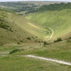
Devil's Dyke, Sussex
1.3 km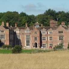
Danny House
3.5 km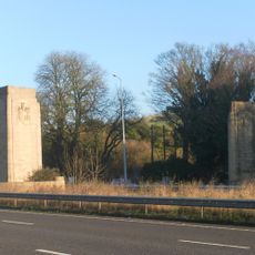
Patcham Pylon
3.1 km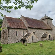
Church of the Transfiguration, Pyecombe
2.8 km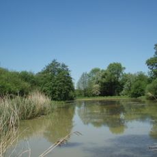
Woods Mill
4.9 km
Newtimber Place
1.7 km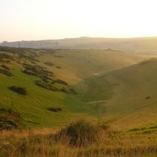
Beeding Hill to Newtimber Hill
1.7 km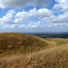
Edburton Castle Ring
2.9 km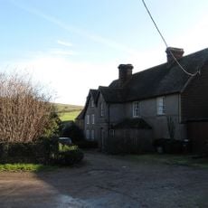
Saddlescombe Preceptory
974 m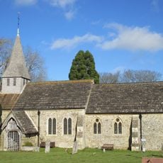
The Parish Church of St Peter
4.4 km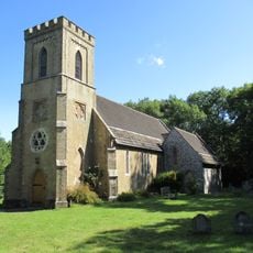
The Parish Church of St John Evangelist
1.5 km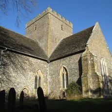
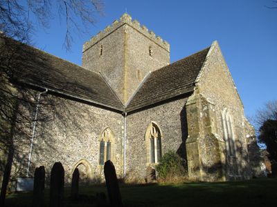
The Church of the Holy Trinity, Poynings
41 m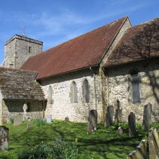
Church of St Andrew
3.2 km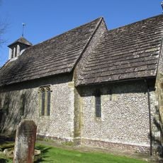
The Parish Church of St Bartholomew
4.2 km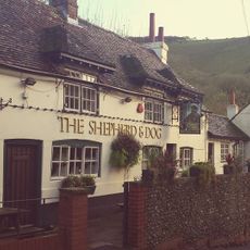
The Shepherd And Dog Public House
1.9 km
Pyecombe Manor
2.2 km
Wolstonbury
2.6 km
Wolstonbury Camp: a Ram's Hill type enclosure on Wolstonbury Hill and associated later remains
2.6 km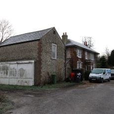
Star House
2.2 km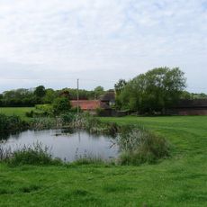
Hautboys
3.6 km
Cross dyke and bowl barrow 310m south east of Wolstonbury Camp
2.5 km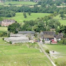
Little Danny Farmhouse
3.3 km
The Old School House
2.9 km
Roman road and 18th century coaching road N of Pyecombe church
3.1 km
Devil's Dyke hillfort
1.1 km
Redhouse Farmhouse
1.7 km
Bowl barrow on Edburton Hill, 380m west of the motte and bailey castle
3.3 km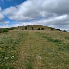
Romano-British farmstead, field system and trackway on Wolstonbury Hill
2.9 kmRecensioni
Ha visitato questo luogo? Tocchi le stelle per valutarlo e condividere la Sua esperienza o foto con la community! Provalo ora! Puoi annullarlo in qualsiasi momento.
Scopri tesori nascosti ad ogni viaggio!
Da piccoli caffè caratteristici a panorami nascosti, fuggi dalla folla e scova i posti che fanno davvero per te. La nostra app ti semplifica tutto: ricerca vocale, filtri furbi, percorsi ottimizzati e dritte autentiche da viaggiatori di tutto il mondo. Scaricala subito per vivere l'avventura sul tuo smartphone!

Un nuovo approccio alla scoperta turistica❞
— Le Figaro
Tutti i luoghi che meritano di essere esplorati❞
— France Info
Un’escursione su misura in pochi clic❞
— 20 Minutes