
Kislingbury, village in United Kingdom
Posizione: West Northamptonshire
Coordinate GPS: 52.22936,-0.97903
Ultimo aggiornamento: 19 marzo 2025 alle 14:23

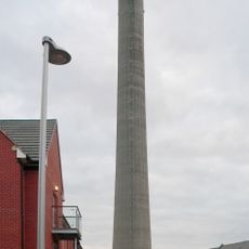
National Lift Tower
4 km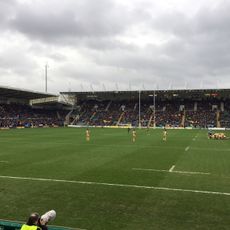
Franklin’s Gardens
4.2 km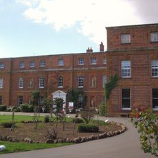
Quinton House School
2 km
Gayton Manor House
4.7 km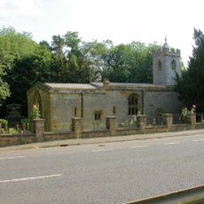
St Michael's Church, Upton
2 km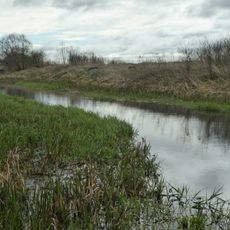
Storton's Pits
3.4 km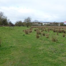
Duston Mill Meadow
3.1 km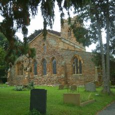
Church of Saint Luke
3.1 km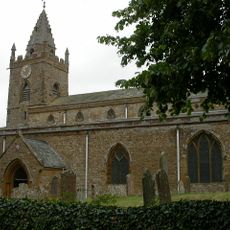
Church of the Holy Cross
5.5 km
Church of St Luke
184 m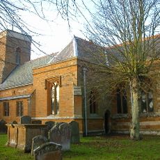
Church of St Peter and St Paul
3.9 km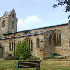
Church of St Peter and St Paul
3.3 km
Church of Holy Cross
5.9 km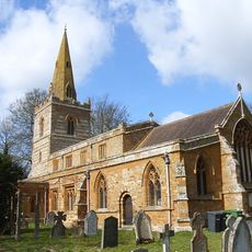
Church of St Michael and All Angels
3.3 km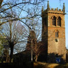
Church of St Mary the Virgin
4.8 km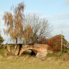
Bridge Number 45
3.8 km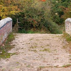
Bridge Number 33
4.4 km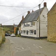
The Compass Public House
5.4 km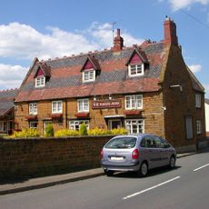
The Bakers Arms Public House
3.1 km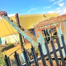
Northamptonshire Ironstone Railway Trust
3.8 km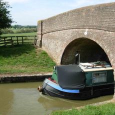
Bridge Number 42
3.4 km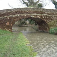
Bridge Number 43
3.7 km
Marsh Cottage
5.1 km
Bridge Number 47
4.6 km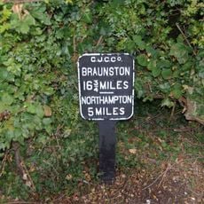
Milepost Beside Towpath Of Grand Union Canal Near Junction With Northampton Arm
4.9 km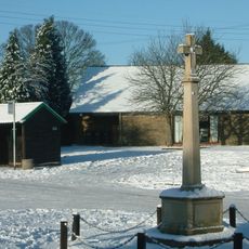
Milton Malsor War Memorial
5.2 km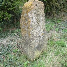
Milestone, N of Fosters Booth
6.3 km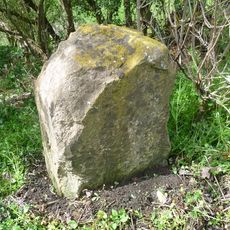
Milestone, Geese Bridge
5.6 kmRecensioni
Ha visitato questo luogo? Tocchi le stelle per valutarlo e condividere la Sua esperienza o foto con la community! Provalo ora! Puoi annullarlo in qualsiasi momento.
Scopri tesori nascosti ad ogni viaggio!
Da piccoli caffè caratteristici a panorami nascosti, fuggi dalla folla e scova i posti che fanno davvero per te. La nostra app ti semplifica tutto: ricerca vocale, filtri furbi, percorsi ottimizzati e dritte autentiche da viaggiatori di tutto il mondo. Scaricala subito per vivere l'avventura sul tuo smartphone!

Un nuovo approccio alla scoperta turistica❞
— Le Figaro
Tutti i luoghi che meritano di essere esplorati❞
— France Info
Un’escursione su misura in pochi clic❞
— 20 Minutes