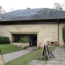
Nunthorpe, Parrocchia civile e sobborgo di Middlesbrough, Inghilterra.
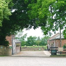
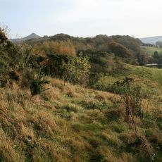
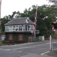
Nunthorpe è una parrocchia civile e un sobborgo che combina quartieri residenziali con spazi aperti, parchi e strutture comunitarie sparsi in tutta l'area. Strade locali e infrastrutture ferroviarie, incluse due stazioni sulla linea Esk Valley, collegano il sobborgo a Middlesbrough e alla regione più ampia.
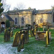
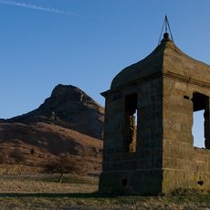
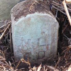
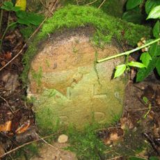
L'insediamento comparve nel Domesday Book del 1086 come Thorpe e ricevette il suo nome attuale dopo che le suore cistercensi vi stabilirono una presenza tra la fine del 12° e l'inizio del 13° secolo. Questa fondazione religiosa ha plasmato lo sviluppo dell'insediamento per molti secoli.
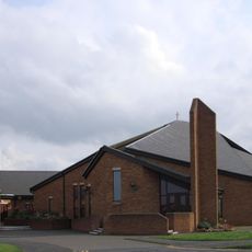
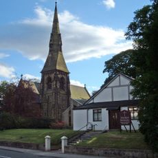
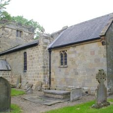
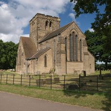
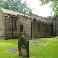
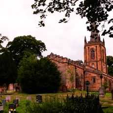
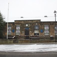
L'area ospita diversi luoghi di culto che servono la comunità locale, tra cui la Chiesa di Santa Maria Vergine, una cappella metodista e una chiesa cattolica. Questi edifici riflettono la vita spirituale dei residenti e rimangono punti di raccolta centrali per diverse tradizioni religiose.
L'area è facilmente raggiungibile in treno tramite due stazioni che servono la linea Esk Valley con servizio regolare verso Middlesbrough e oltre. Quando si esplora a piedi, i visitatori troveranno gli spazi verdi e i parchi distribuiti nei quartieri accessibili e adatti per una passeggiata tranquilla.
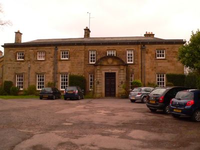
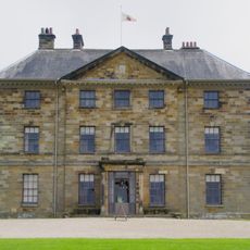
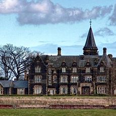
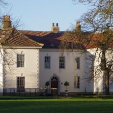
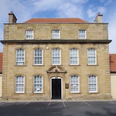
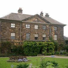
Grey Towers House è stato costruito nel 1865 come residenza privata e successivamente convertito in sanatorio per la tubercolosi prima di essere preservato come edificio classificato Grade II oggi. Questa sostanziale struttura in pietra racconta la storia dell'assistenza medica nell'area e riflette gli usi mutevoli degli edifici vittoriani nel corso del tempo.
La comunità dei viaggiatori curiosi
AroundUs riunisce migliaia di luoghi selezionati, consigli locali e gemme nascoste, arricchiti ogni giorno da oltre 60,000 contributori in tutto il mondo.