
Fringford, Villaggio inglese
Posizione: Cherwell
Confina con: Hethe, Stoke Lyne, Caversfield, Stratton Audley, Newton Purcell with Shelswell
Sito web: http://fringford.info
Coordinate GPS: 51.95300,-1.12300
Ultimo aggiornamento: 9 aprile 2025 alle 05:15

Bicester Bowl
6.3 km
The Launton Arms
6.4 km
Church of St Peter, Stoke Lyne
3.7 km
Church of St Mary and St Edburga, Stratton Audley
2.7 km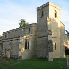
Church of St Mary
5.8 km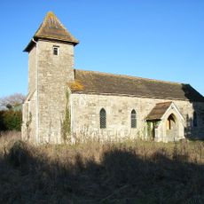
Church of Holy Trinity
4 km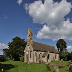
Church of St Michael
3 km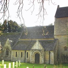
Church of St Lawrence
4.1 km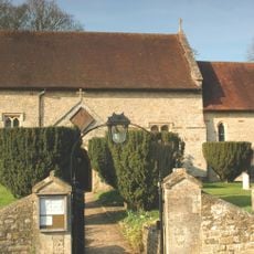
Church of St Mary
2.9 km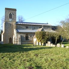
Church of St Michael and All Angels
559 m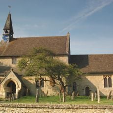
Church of St Edmund and George
1.4 km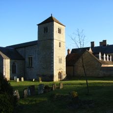
Church of St Mary and St Nicholas
3.8 km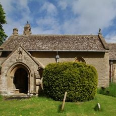
Church of St Mary
2.8 km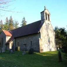
Church of St James
4.3 km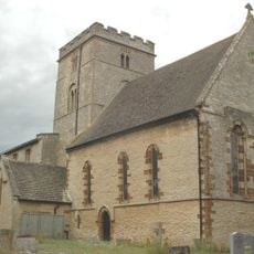
Church of St Peter
5.2 km
Bell Inn
6.3 km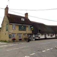
The Bull Inn
6.2 km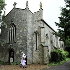
Church of Holy Trinity (Roman Catholic)
1.8 km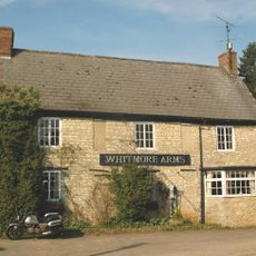
Whitmore Arms Public House
1.4 km
The Old Court House
6.5 km
44, Market Square
6.5 km
17, Market Square
6.5 km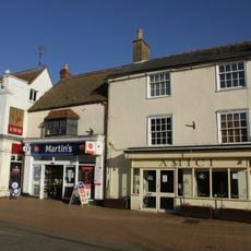
20, Sheep Street
6.4 km
45 And 52, Market Square
6.5 km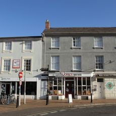
7 And 8, Market Square
6.5 km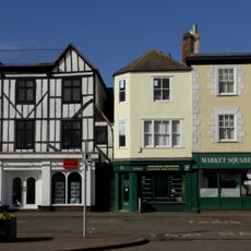
46, 48 And 51, Market Square
6.5 km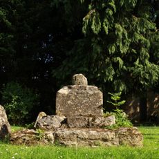
Churchyard Cross Approximately 6 Metres South Of Church Of St Mary
5.8 km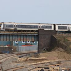
Bicester intersection bridge
6.1 kmRecensioni
Ha visitato questo luogo? Tocchi le stelle per valutarlo e condividere la Sua esperienza o foto con la community! Provalo ora! Puoi annullarlo in qualsiasi momento.
Scopri tesori nascosti ad ogni viaggio!
Da piccoli caffè caratteristici a panorami nascosti, fuggi dalla folla e scova i posti che fanno davvero per te. La nostra app ti semplifica tutto: ricerca vocale, filtri furbi, percorsi ottimizzati e dritte autentiche da viaggiatori di tutto il mondo. Scaricala subito per vivere l'avventura sul tuo smartphone!

Un nuovo approccio alla scoperta turistica❞
— Le Figaro
Tutti i luoghi che meritano di essere esplorati❞
— France Info
Un’escursione su misura in pochi clic❞
— 20 Minutes