
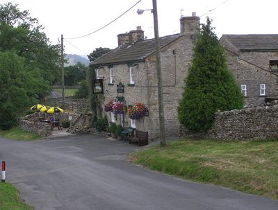
Downholme, village in United Kingdom
Posizione: North Yorkshire
Coordinate GPS: 54.37669,-1.82706
Ultimo aggiornamento: 3 aprile 2025 alle 06:15
Scott Trial
3.5 km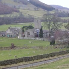
Marrick Priory
4.6 km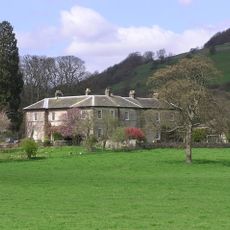
Ellerton Abbey
3.6 km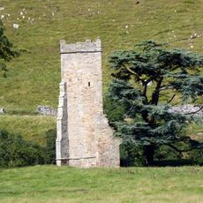
Ellerton Priory
3.4 km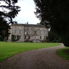
Marske Hall
2.6 km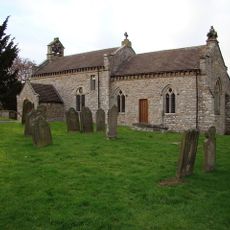
Church of Saint Michael and All Angels
489 m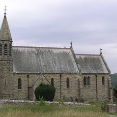
Church of Saint Michael and All Angels
3.7 km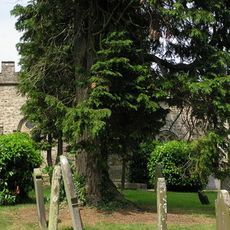
Church of St Edmund King and Martyr
2.7 km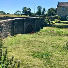
Walburn Bridge
2.1 km
Walburn Hall
2 km
19 And 21, The Green
6.2 km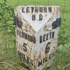
Milepost Approximately 10 Metres North Of Junction With B 6270
1 km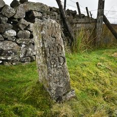
Robin Cross Boundary Stone
5.1 km
House Of Mrs Kane And Windrush
5 km
30, The Green
6.2 km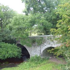
Pillimire Bridge
3.1 km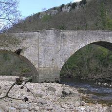
Downholme Bridge
1.2 km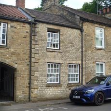
35, The Green
6.2 km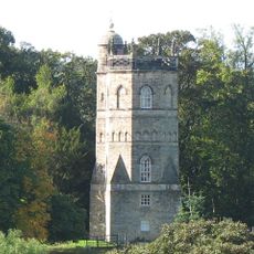
Culloden Tower
6.1 km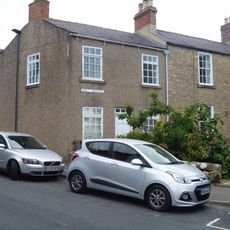
7 And 8, Westfields
6.2 km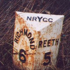
Mile Post Near Low Ingsque Wood Approximately 1 Mile North-East Of Junction With Stainton Road And Approximately 1 Mile South-West Of Junction With A 6108
1.3 km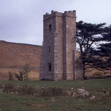
Ellerton Priory: a Cistercian nunnery including fishponds, water management system, mill, field systems and Ellerton medieval se
3.6 km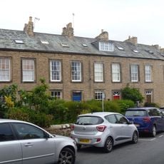
1-6, Westfields
6.2 km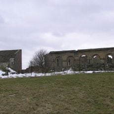
Old Grand Stand
6.3 km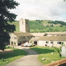
Marrick Priory Farmhouse
4.6 km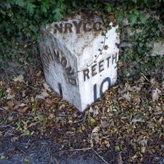
Milestone, opp. entrance to Richmond Caravan Park
5.3 km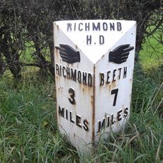
Milestone, E of lane opp to Thorpe under Stone
3.5 km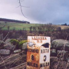
Milestone, nr entrance to Swale Farm
3.8 kmRecensioni
Ha visitato questo luogo? Tocchi le stelle per valutarlo e condividere la Sua esperienza o foto con la community! Provalo ora! Puoi annullarlo in qualsiasi momento.
Scopri tesori nascosti ad ogni viaggio!
Da piccoli caffè caratteristici a panorami nascosti, fuggi dalla folla e scova i posti che fanno davvero per te. La nostra app ti semplifica tutto: ricerca vocale, filtri furbi, percorsi ottimizzati e dritte autentiche da viaggiatori di tutto il mondo. Scaricala subito per vivere l'avventura sul tuo smartphone!

Un nuovo approccio alla scoperta turistica❞
— Le Figaro
Tutti i luoghi che meritano di essere esplorati❞
— France Info
Un’escursione su misura in pochi clic❞
— 20 Minutes