
Hints, village in the United Kingdom
Posizione: Lichfield
Coordinate GPS: 52.62421,-1.76879
Ultimo aggiornamento: 3 marzo 2025 alle 06:34
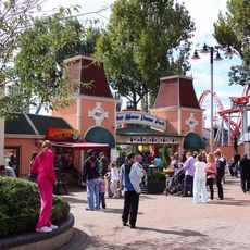
Drayton Manor Theme Park
4 km
The Shock Wave
3.8 km
G Force
3.9 km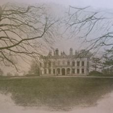
Packington Hall
3.4 km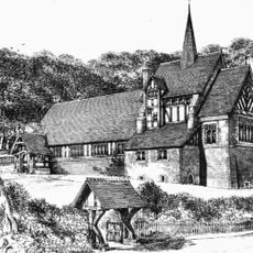
St Chad's Church, Hopwas
2.8 km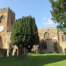
Church of St John the Baptist, Middleton
5 km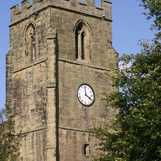
Church of St Peter
4.5 km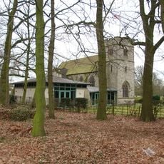
Church of St Mary and St Giles and All Saints
2.9 km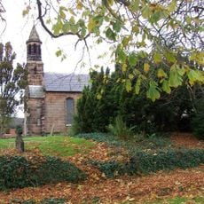
Church of St Mary
1.8 km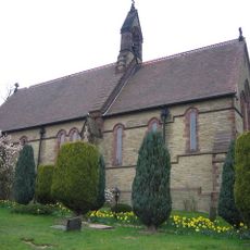
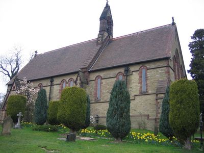
Church of St Bartholomew
59 m
Former Hopwas Pumping Station (Spruce House, Cedar House And Holly House) And Front Boundary Wall
2.5 km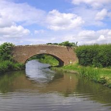
Dunstall Farm Bridge
3.1 km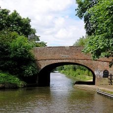
Sutton Road Bridge
3.7 km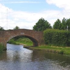
Dunstall Bridge (That Part In Fazeley Civil Parish)
2.9 km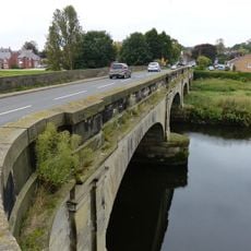
Hopwas Bridge
3.2 km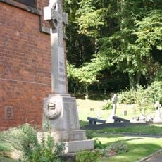
Hopwas War Memorial
2.8 km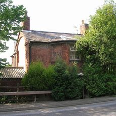
Collets Brook Farmhouse
4.3 km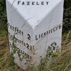
Milepost At Ngr Sk 1701 0297
1.3 km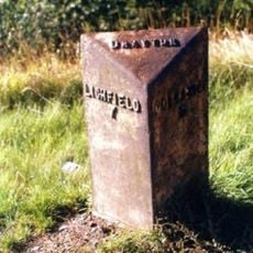
Milepost, new road, nr Lamb Farm (moved from SP996146)
3.7 km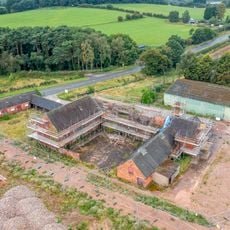
L-Shaped Range Of Farm Outbuildings To The North West Of Bucks Head Farmhouse
1.3 km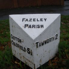
Milepost At Ngr 1820 0234
2.5 km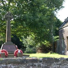
Drayton Bassett War Memorial
4.5 km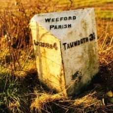
Milepost, near Common Barn
2.7 km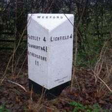
Milepost, Roman Road, N of Weeford Church
2.1 km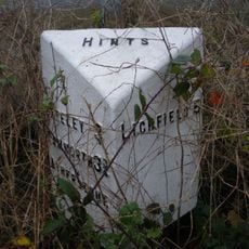
Milepost, Rock Hill, NW of Hints, just E of lane to quarry
658 m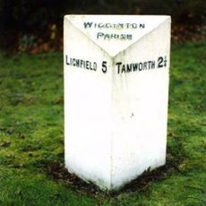
Milepost, Hopwas, nr Plantation Lane jct
2.5 km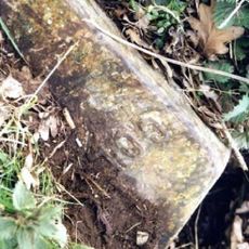
Milepost, Weeford Lodge
2.6 km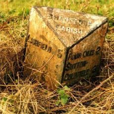
Milepost, Shenstone Woodend, 40m S of jct with Pimfold Hill
4.9 kmRecensioni
Ha visitato questo luogo? Tocchi le stelle per valutarlo e condividere la Sua esperienza o foto con la community! Provalo ora! Puoi annullarlo in qualsiasi momento.
Scopri tesori nascosti ad ogni viaggio!
Da piccoli caffè caratteristici a panorami nascosti, fuggi dalla folla e scova i posti che fanno davvero per te. La nostra app ti semplifica tutto: ricerca vocale, filtri furbi, percorsi ottimizzati e dritte autentiche da viaggiatori di tutto il mondo. Scaricala subito per vivere l'avventura sul tuo smartphone!

Un nuovo approccio alla scoperta turistica❞
— Le Figaro
Tutti i luoghi che meritano di essere esplorati❞
— France Info
Un’escursione su misura in pochi clic❞
— 20 Minutes