
Ightfield, village and civil parish in Shropshire, United Kingdom
Posizione: Shropshire
Coordinate GPS: 52.93330,-2.61667
Ultimo aggiornamento: 22 marzo 2025 alle 11:36
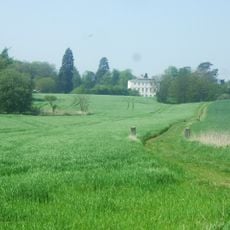
Styche Hall
6.1 km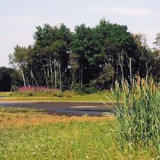
Brown Moss
3.1 km
St Peter's Church, Adderley
7.7 km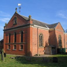
St Mary's and St Michael's Church, Burleydam
5.5 km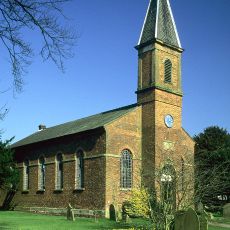
Tilstock Christ Church
4.4 km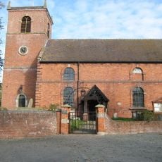
Church of Saint Margaret
5.3 km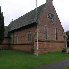
Church of Immanuel
4.8 km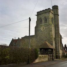
Church of the Holy Trinity
1.7 km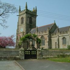
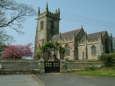
Church of Saint John the Baptist
1.3 km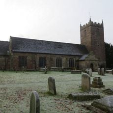
Church of St Chad
5 km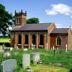
Christ Church
2.8 km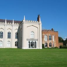
Combermere Abbey (house)
6.6 km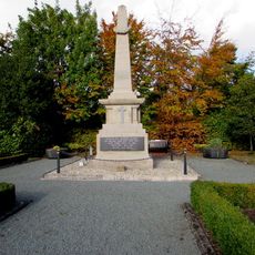
Whitchurch War Memorial
5.6 km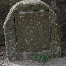
Milestone At Ngr Sj 5829 3402
3.5 km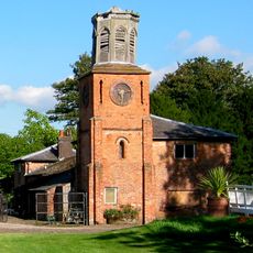
Southern range of service buildings
6.6 km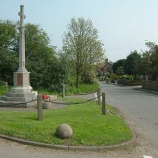
Ash Magna War Memorial
2.8 km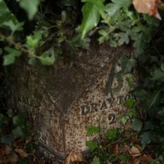
Milepost approximately 25 metres to south west of Fordhill Cottages
7.6 km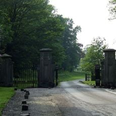
Gate piers and railings circa 5 yards to north east of Stone Lodge
6.1 km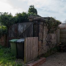
Former Lock Up
5.2 km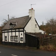
The Dell
5.4 km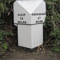
Milepost At Ngr Sj 5545 3298
5.5 km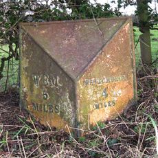
Milepost At Ngr Sj 5422 3584
4.7 km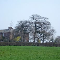
Lower Lodge
5.8 km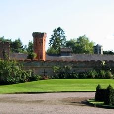
Northern range of service buildings
6.6 km
Game larder to the centre of the service court at Combermere Abbey
6.6 km
Butterley Heyes
7.6 km
Milestone At N.G.R. Sj 5982 3378
3.9 km
Milestone, S Bletchley
5.7 kmRecensioni
Ha visitato questo luogo? Tocchi le stelle per valutarlo e condividere la Sua esperienza o foto con la community! Provalo ora! Puoi annullarlo in qualsiasi momento.
Scopri tesori nascosti ad ogni viaggio!
Da piccoli caffè caratteristici a panorami nascosti, fuggi dalla folla e scova i posti che fanno davvero per te. La nostra app ti semplifica tutto: ricerca vocale, filtri furbi, percorsi ottimizzati e dritte autentiche da viaggiatori di tutto il mondo. Scaricala subito per vivere l'avventura sul tuo smartphone!

Un nuovo approccio alla scoperta turistica❞
— Le Figaro
Tutti i luoghi che meritano di essere esplorati❞
— France Info
Un’escursione su misura in pochi clic❞
— 20 Minutes