
Hope Bowdler, village in the United Kingdom
Posizione: Shropshire
Coordinate GPS: 52.52700,-2.77500
Ultimo aggiornamento: 15 marzo 2025 alle 15:26
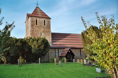
St Laurence's Church, Church Stretton
2.6 km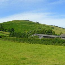
Caer Caradoc
2.9 km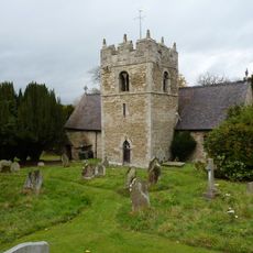
St Edith's Church, Eaton-under-Heywood
3.4 km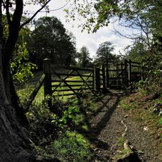
Rectory Wood
2.9 km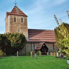
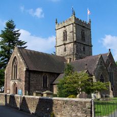
Church of St Andrew
66 m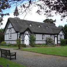
Church of All Saints
3.2 km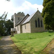
Church of St Margaret
3.7 km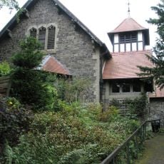
St Michael and All Angels
3.7 km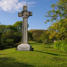
Church Stretton War Memorial
2.8 km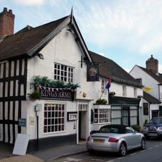
Kings Arms Public House
2.5 km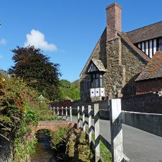
The Tan House
3.3 km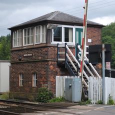
Marsh Brook Signal Box
4.2 km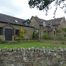
Chelmick Manor Farmhouse And Outbuildings To South
1.2 km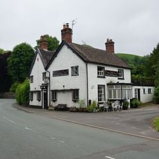
Yew Tree Inn Public House
3.4 km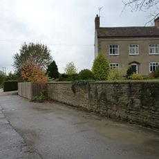
Eaton Manor
3.4 km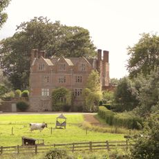
Acton Scott Hall Including Service Court And Railings
3.5 km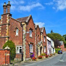
The Priory
2.6 km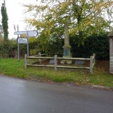
Ticklerton War Memorial
1.8 km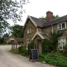
Entrance Lodge Approximately 370 Metres North Of Acton Scott Hall
3.1 km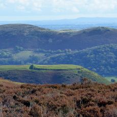
Bodbury Ring: a large univallate hillfort on the summit of Bodbury Hill.
3.8 km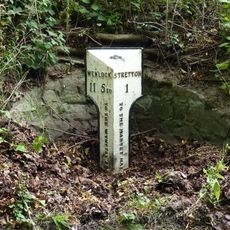
Milepost At Ngr So 4678 9333
1.2 km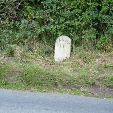
Milestone Approximately 90 Metres To North East Of Dudgeley House (That Part In All Stretton)
4.2 km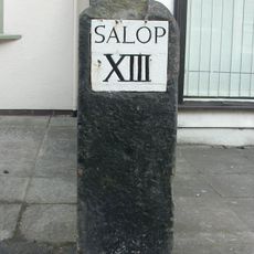
Milestone In Front Of Number 47 High Street (Number 47 Is Not Included)
2.5 km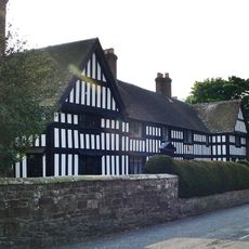
The Manor House
3.2 km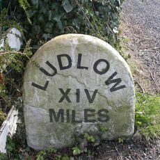
Milestone 27 Metres South West Of The Malt House
3.3 km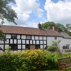
1, The Ancient House
3.2 km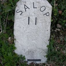
Milestone At Ngr So 4655 9642 On The B4370
4.2 km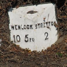
Milepost, Hope Bowdler
328 mRecensioni
Ha visitato questo luogo? Tocchi le stelle per valutarlo e condividere la Sua esperienza o foto con la community! Provalo ora! Puoi annullarlo in qualsiasi momento.
Scopri tesori nascosti ad ogni viaggio!
Da piccoli caffè caratteristici a panorami nascosti, fuggi dalla folla e scova i posti che fanno davvero per te. La nostra app ti semplifica tutto: ricerca vocale, filtri furbi, percorsi ottimizzati e dritte autentiche da viaggiatori di tutto il mondo. Scaricala subito per vivere l'avventura sul tuo smartphone!

Un nuovo approccio alla scoperta turistica❞
— Le Figaro
Tutti i luoghi che meritano di essere esplorati❞
— France Info
Un’escursione su misura in pochi clic❞
— 20 Minutes