
Child's Ercall, village and civil parish in Shropshire, England
Posizione: Shropshire
Coordinate GPS: 52.82200,-2.49500
Ultimo aggiornamento: 23 marzo 2025 alle 18:08
St Peter's Church, Edgmond
7.8 km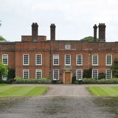
Peplow Hall
2.9 km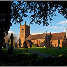
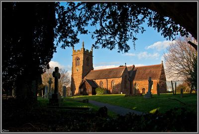
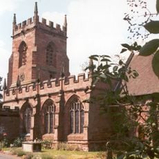
Church of St Michael
184 m
Church of St Michael
6.5 km
Church of St Swithun
7.1 km
Church of St. John the Baptist
4.2 km
Church of St Peter
4.1 km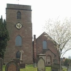
Church of St Oswald
3 km
Church of St. Luke
4.7 km
Church of All Saints
4.9 km
Church of St Michael and All Angels
7.8 km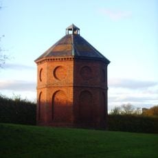
Dovecot West South West Of Chetwynd Park
7.7 km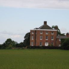
High Hatton Hall
6.1 km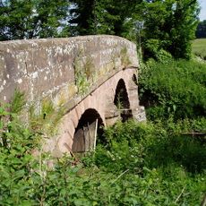
Puleston Bridge
7.4 km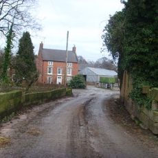
New Caynton Mill House
3.4 km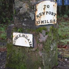
Milestone Approximately 40 Metres To West Of Warran Farmhouse
6.2 km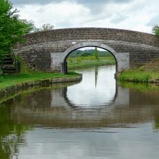
Shropshire Union Canal Bridge Number 52 (Fox Bridge)
5.8 km
Wollerton Old Hall
6.3 km
Longacre
4.7 km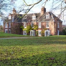
The Hall
6.5 km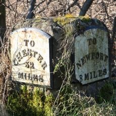
Milestone Approximately Twenty Metres To South West Of Number 5, Sweet Appletree
3.9 km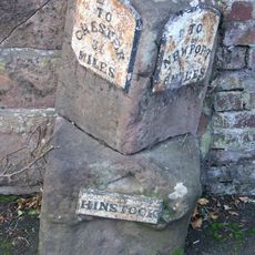
Milestone Approximately Ten Metres To South Of Holly House
3 km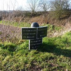
Shropshire Union Canal Milepost Approximately 25 Metres To South East Of Bridge Number 52
5.8 km
Hinstock War Memorial
3.1 km
Milestone Approximately 210 Metres To South East Of The Four Crosses Inn
3.1 km
Milepost Approximately 150 Metres To West Of Bridge Number 48
6.7 km
Milestone, Stanford Bridge
3.9 km
Milestone, Chetwynd Heath
5.5 kmRecensioni
Ha visitato questo luogo? Tocchi le stelle per valutarlo e condividere la Sua esperienza o foto con la community! Provalo ora! Puoi annullarlo in qualsiasi momento.
Scopri tesori nascosti ad ogni viaggio!
Da piccoli caffè caratteristici a panorami nascosti, fuggi dalla folla e scova i posti che fanno davvero per te. La nostra app ti semplifica tutto: ricerca vocale, filtri furbi, percorsi ottimizzati e dritte autentiche da viaggiatori di tutto il mondo. Scaricala subito per vivere l'avventura sul tuo smartphone!

Un nuovo approccio alla scoperta turistica❞
— Le Figaro
Tutti i luoghi che meritano di essere esplorati❞
— France Info
Un’escursione su misura in pochi clic❞
— 20 Minutes