
Cressage, village and civil parish in Shropshire, England
Posizione: Shropshire
Coordinate GPS: 52.63310,-2.60575
Ultimo aggiornamento: 3 marzo 2025 alle 00:20

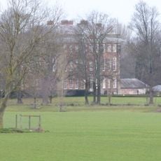
Cound Hall
3.3 km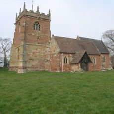
St Peter's Church, Cound
3.4 km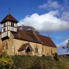
Church of St Peter and St Paul
2 km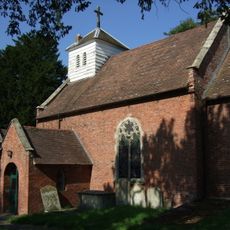
Church of St Mary
2.4 km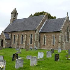
Church of St Mary
2.3 km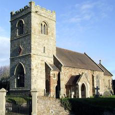
Church of St Mary
2.7 km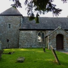
Church of St John the Baptist
4.3 km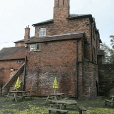
Kynnersley Arms Public House Incorporating Remains Of Mill And Furnace
2.4 km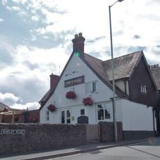
The Eagles Inn
76 m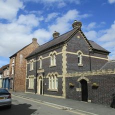
The Police Station
5.2 km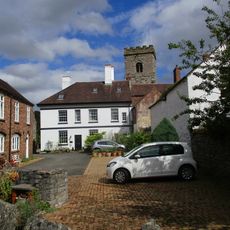
Stork Hotel
5.2 km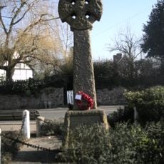
Cressage War Memorial
74 m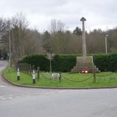
Cound War Memorial
3.7 km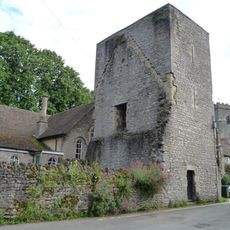
Priory Tower
5.2 km
The Old Post Office
2.4 km
School House
5.2 km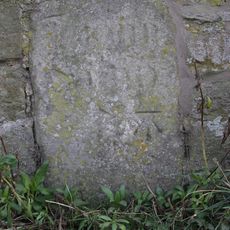
Milestone Approximately 100 Metres To North Of Harnage Grange
2.8 km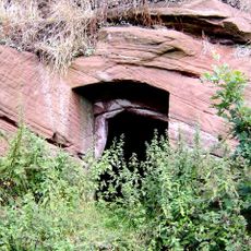
Ice House Approximately 200 Metres To North West Of Lower Eyton
2.7 km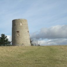
The Old Windmill To West Of Shadwell Rock Quarry
4.7 km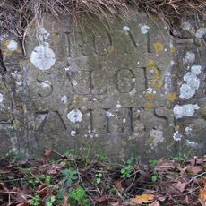
Milestone Approximately 60 Metres To West Of Harnage House
2.7 km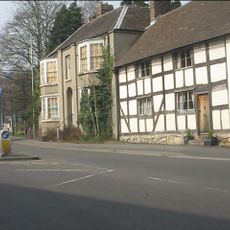
41, High Street
5.2 km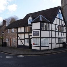
11, Bull Ring
5.2 km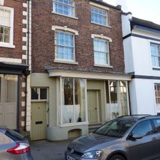
6, Willimore Street
5.2 km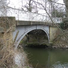
Cound Arbour Bridge
3.7 km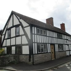
5 And 6, Queen Street
5.2 km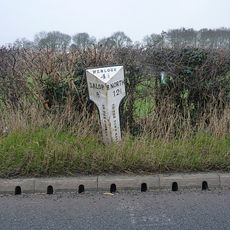
Milepost At Ngr Sj 5836 0452
858 m
7-10, Bull Ring
5.2 km
50, Sheinton Street
5.1 kmRecensioni
Ha visitato questo luogo? Tocchi le stelle per valutarlo e condividere la Sua esperienza o foto con la community! Provalo ora! Puoi annullarlo in qualsiasi momento.
Scopri tesori nascosti ad ogni viaggio!
Da piccoli caffè caratteristici a panorami nascosti, fuggi dalla folla e scova i posti che fanno davvero per te. La nostra app ti semplifica tutto: ricerca vocale, filtri furbi, percorsi ottimizzati e dritte autentiche da viaggiatori di tutto il mondo. Scaricala subito per vivere l'avventura sul tuo smartphone!

Un nuovo approccio alla scoperta turistica❞
— Le Figaro
Tutti i luoghi che meritano di essere esplorati❞
— France Info
Un’escursione su misura in pochi clic❞
— 20 Minutes