
Stanton upon Hine Heath, village in the United Kingdom
Posizione: Shropshire
Coordinate GPS: 52.81170,-2.64077
Ultimo aggiornamento: 3 marzo 2025 alle 00:53


Hawkstone Park
5.3 km
Hawkstone Hall
6.1 km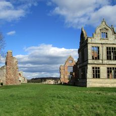
Moreton Corbet Castle
1.1 km
Hodnet Hall
5.9 km
St Luke's Church, Hodnet
6.3 km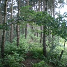
Bury Walls
3.6 km
Peplow Hall
7 km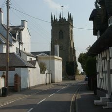
Church of St Mary the Virgin
3 km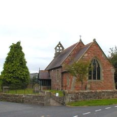
Church of St Peter
3.9 km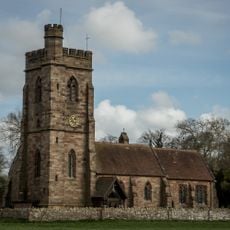
Church of St Peter
8 km
Church of St Bartholomew
1.1 km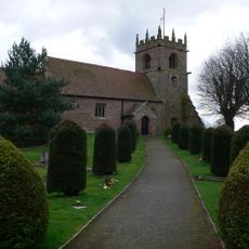
Church of St Andrew
222 m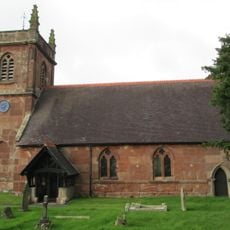
Church of St Luke
4.8 km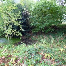
Moated site 140m east of St Mary's Church
3 km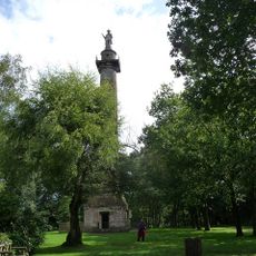
Rowland Hill Monument
5.3 km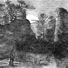
Red Castle
5.4 km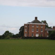
High Hatton Hall
3.9 km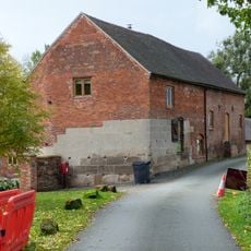
Moreton Mill
1.4 km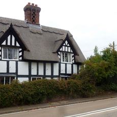
22, Marchamley
6.2 km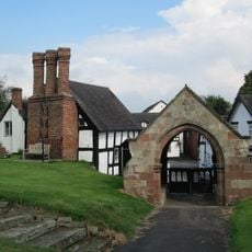
Lychgate approximately 35 metres to east of Church of St Luke
6.4 km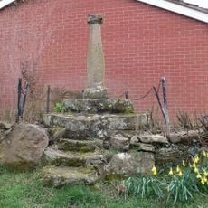
Sundial Approximately 60 Metres To North East Of Church Of Saint Andrew
149 m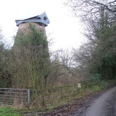
Disused windmill at NGR SJ 56652 29724
5.7 km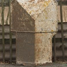
Milepost Approximately 15 Metres To South West Of Stone Stone House
7.6 km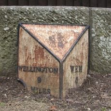
Milepost Approximately 10 Metres To West Of Shawbury Bridge
2.8 km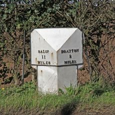
Mile Post Approximately 18 Metres South East Of Lodgebank
3.4 km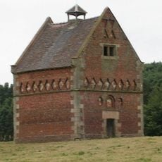
Hodnet Hall Dovecote
5.8 km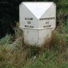
Milepost Approximately 85 Metres To West Of Bridleway Gate
3.4 km
The Old Rectory
1.1 kmRecensioni
Ha visitato questo luogo? Tocchi le stelle per valutarlo e condividere la Sua esperienza o foto con la community! Provalo ora! Puoi annullarlo in qualsiasi momento.
Scopri tesori nascosti ad ogni viaggio!
Da piccoli caffè caratteristici a panorami nascosti, fuggi dalla folla e scova i posti che fanno davvero per te. La nostra app ti semplifica tutto: ricerca vocale, filtri furbi, percorsi ottimizzati e dritte autentiche da viaggiatori di tutto il mondo. Scaricala subito per vivere l'avventura sul tuo smartphone!

Un nuovo approccio alla scoperta turistica❞
— Le Figaro
Tutti i luoghi che meritano di essere esplorati❞
— France Info
Un’escursione su misura in pochi clic❞
— 20 Minutes