
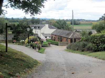
Montford, village and civil parish in Shropshire, United Kingdom
Posizione: Shropshire
Coordinate GPS: 52.72810,-2.86222
Ultimo aggiornamento: 2 aprile 2025 alle 05:50
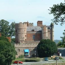
Rowton Castle
4.5 km
Loton Park
5.9 km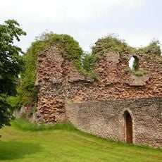
Alberbury Castle
6.1 km
Preston Montford
1.5 km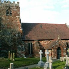
St Andrew's Church, Great Ness
4.7 km
Rowton Castle
4.5 km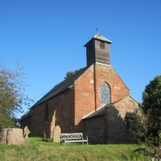
Church of Saint Mary
2 km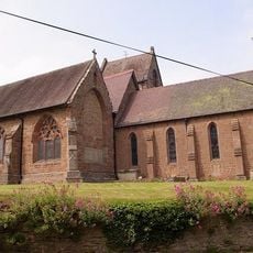
Church of St Michael and All Angels
6 km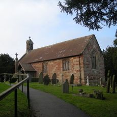
Church of Saint Martin
5.2 km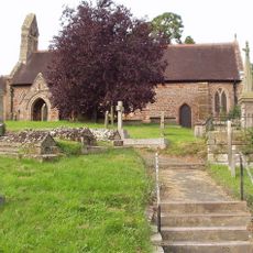
Church of St Michael
1.2 km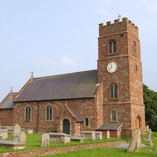
Church of Saint Chad
70 m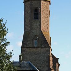
Church of St Michael
3.4 km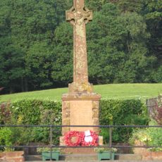
Nesscliffe War Memorial
5.8 km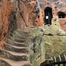
Kynaston's Cave
5.6 km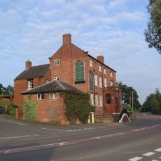
Nesscliffe Hotel
5.5 km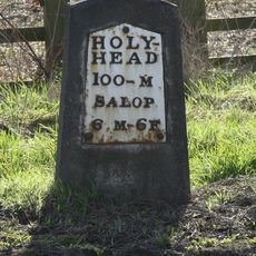
Milestone Approximately 460 Metres To South West Of Beam House Farmhouse
3.2 km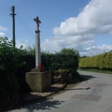
Little Ness War Memorial
5 km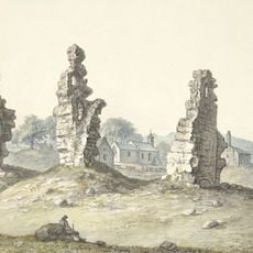
Shrawardine castle and settlement remains
1.9 km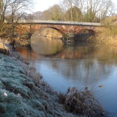
Montford Bridge
1.4 km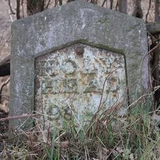
Milestone Approximately 30 Metres South East Of The Junction Between The A5 And Well Lane
6.1 km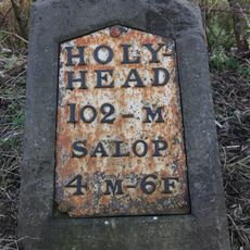
Milestone Approximately 125 Metres To South Of Forton Cottage
1.2 km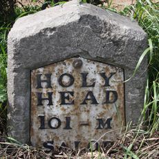
Milestone Approximately 310 Metres To South East Of Ensdon House
1.8 km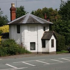
The Round House
1.4 km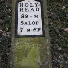
Milestone Approximately 180 Metres To North West Of Stone House
4.6 km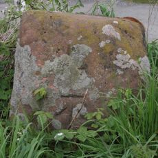
Benthall Cross, Remains Of
2.3 km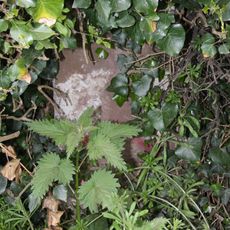
Milestone Approximately 45 Metres To West Of Stockfield
3.6 km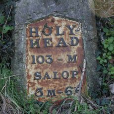
Milestone Approximately 350 Metres To North West Of Bicton House
2.3 km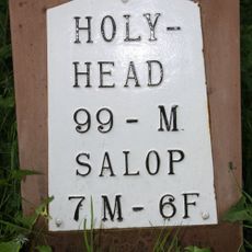
Milestone, by church at SJ397191
4.8 kmRecensioni
Ha visitato questo luogo? Tocchi le stelle per valutarlo e condividere la Sua esperienza o foto con la community! Provalo ora! Puoi annullarlo in qualsiasi momento.
Scopri tesori nascosti ad ogni viaggio!
Da piccoli caffè caratteristici a panorami nascosti, fuggi dalla folla e scova i posti che fanno davvero per te. La nostra app ti semplifica tutto: ricerca vocale, filtri furbi, percorsi ottimizzati e dritte autentiche da viaggiatori di tutto il mondo. Scaricala subito per vivere l'avventura sul tuo smartphone!

Un nuovo approccio alla scoperta turistica❞
— Le Figaro
Tutti i luoghi che meritano di essere esplorati❞
— France Info
Un’escursione su misura in pochi clic❞
— 20 Minutes