
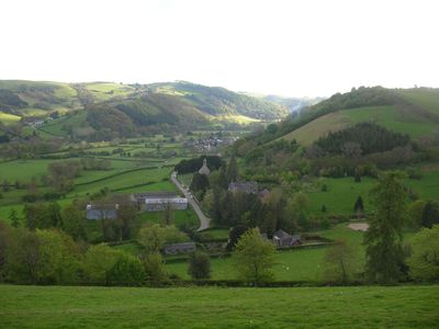
Newcastle, village in Shropshire, England
Posizione: Shropshire
Coordinate GPS: 52.43400,-3.10700
Ultimo aggiornamento: 26 aprile 2025 alle 17:15
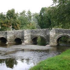
Clun Bridge
5.4 km
Clun Museum
5.4 km
Bryn Amlwg Castle
8.4 km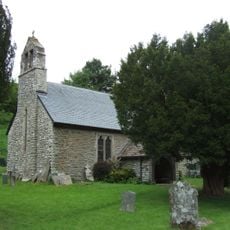
Church of St John the Baptist
5.3 km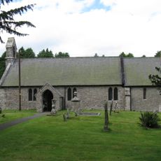
Church of St Mary
4.4 km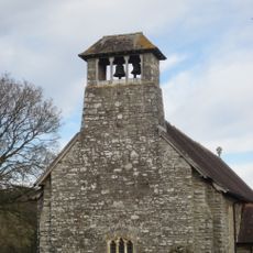
Church Of Michael & All Angels
6 km
Church of St John
550 m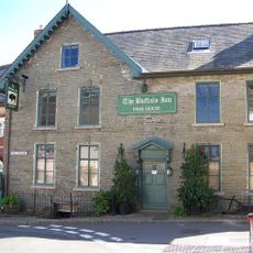
The Buffalo Hotel And Former Barn Adjoining To The West
5.4 km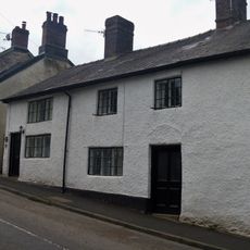
10, Church Street
5.4 km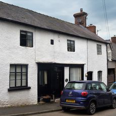
6 and 8, Church Street
5.4 km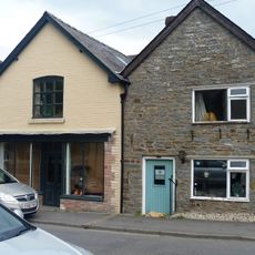
1-7, Church Street
5.4 km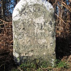
Milestone Approximately 150 Metres To North-West Of Colstey Farmhouse
5.4 km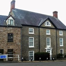
The Old Vicarage And Railed Enclosure To North West
5.5 km
Caer Din
7.8 km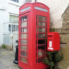
K6 Telephone Kiosk, The Square
5.4 km
4, Bridge Street
5.4 km
Villa Farmhouse
5.2 km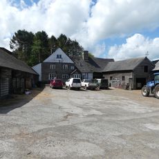
Lower Spoad Farmhouse and small farm adjoining
913 m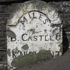
Milestone Approximately 10 Metres To North-West Of The Old Vicarage
5.5 km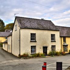
8, Bridge Street
5.4 km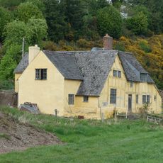
Bryndrinog Farmhouse
857 m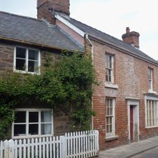
2, Bridge Street
5.4 km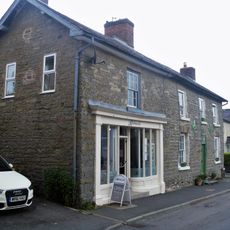
Harpton House And Shop Adjoining To West
5.5 km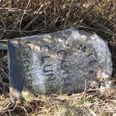
Milestone Approximately 160 Metres To North Of Blackwell Cottage
4.8 km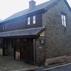
Former Stables And Coach House Approximately 20 Metres To South West Of The Old Vicarage
5.5 km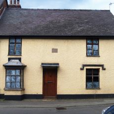
6, Bridge Street
5.4 km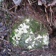
Milestone Approximately 35 Metres To North-West Of Lower Rockhill Farmhouse
5.1 km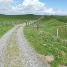
Offa's Dyke: section on the western slope of Llanfair Hill, 1.4km south west of Burfield
3.2 kmRecensioni
Ha visitato questo luogo? Tocchi le stelle per valutarlo e condividere la Sua esperienza o foto con la community! Provalo ora! Puoi annullarlo in qualsiasi momento.
Scopri tesori nascosti ad ogni viaggio!
Da piccoli caffè caratteristici a panorami nascosti, fuggi dalla folla e scova i posti che fanno davvero per te. La nostra app ti semplifica tutto: ricerca vocale, filtri furbi, percorsi ottimizzati e dritte autentiche da viaggiatori di tutto il mondo. Scaricala subito per vivere l'avventura sul tuo smartphone!

Un nuovo approccio alla scoperta turistica❞
— Le Figaro
Tutti i luoghi che meritano di essere esplorati❞
— France Info
Un’escursione su misura in pochi clic❞
— 20 Minutes