
Holmpton, village in the United Kingdom
Posizione: East Riding of Yorkshire
Coordinate GPS: 53.68466,0.06705
Ultimo aggiornamento: 17 marzo 2025 alle 08:20
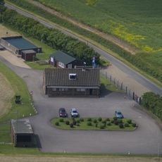
RAF Holmpton
65 m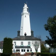
Withernsea Lighthouse
5.7 km
St. Patrick's Church, Patrington
5 km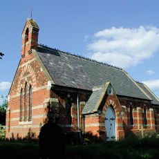
Church of St Helen
8.4 km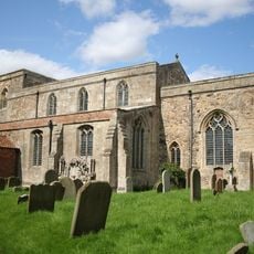
St Mary's Church, Welwick
3 km
Birstall Priory
4.6 km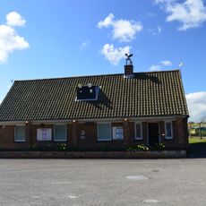
RAF Holmpton - Visit the Bunker
80 m
Church of St Nicholas
3.2 km
Church of All Saints
5 km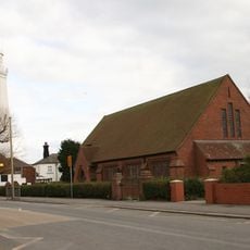
Church of St Matthew
5.7 km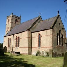
Church of St Nicholas
470 m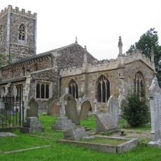
Church of St Nicholas
5.3 km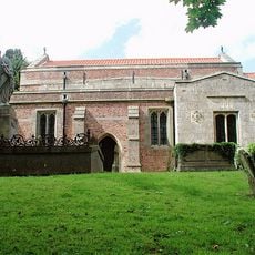
Church of St Germain
6.8 km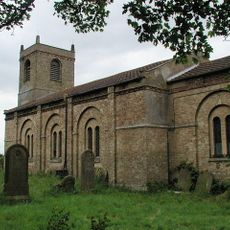
Church of St Mary
8 km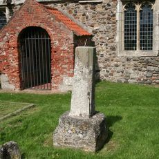
Cross Approximately 6 Metres South Of Church Of St Helen
3.9 km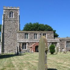
Church of St Helen
3.9 km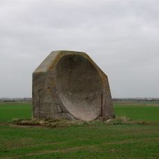
World War I acoustic mirror 335m north east of Kilnsea Grange
7.7 km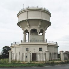
Rimswell Water Tower
7.8 km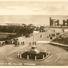
Withernsea Old War Memorial
5.3 km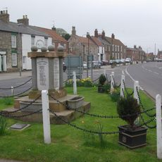
Patrington War Memorial
5.3 km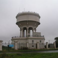
Gate, Flanking Walls And Railings Approximately 10 Metres West Of Rimswell Water Tower
7.8 km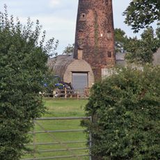
Patrington Mill
4.6 km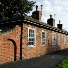
Linsdall's Hospital And Flanking Walls
4.8 km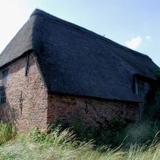
Tithe Barn
5 km
Channel Farmhouse
8.2 km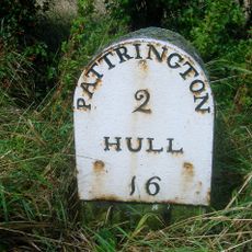
Milestone Approximately 30 Metres North West Of Junction With Winestead Ings Lane
7.8 km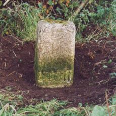
Milestone, Winestead, N of entrance to Manor Farm
7 km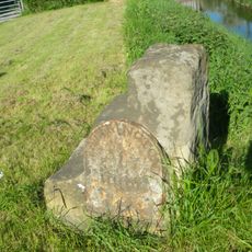
Milestone, Winstead Bridge, 1 mile W of Patrington
6.6 kmRecensioni
Ha visitato questo luogo? Tocchi le stelle per valutarlo e condividere la Sua esperienza o foto con la community! Provalo ora! Puoi annullarlo in qualsiasi momento.
Scopri tesori nascosti ad ogni viaggio!
Da piccoli caffè caratteristici a panorami nascosti, fuggi dalla folla e scova i posti che fanno davvero per te. La nostra app ti semplifica tutto: ricerca vocale, filtri furbi, percorsi ottimizzati e dritte autentiche da viaggiatori di tutto il mondo. Scaricala subito per vivere l'avventura sul tuo smartphone!

Un nuovo approccio alla scoperta turistica❞
— Le Figaro
Tutti i luoghi che meritano di essere esplorati❞
— France Info
Un’escursione su misura in pochi clic❞
— 20 Minutes