
Stanway, village and civil parish in Essex, England, UK
Posizione: Colchester
Coordinate GPS: 51.88170,0.81730
Ultimo aggiornamento: 5 marzo 2025 alle 03:32

Zoo di Colchester
2.4 km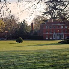
Copford Hall
1.5 km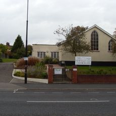
Colchester New Church
4.5 km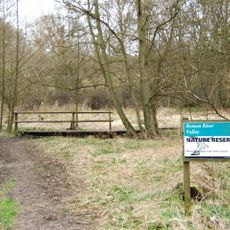
Roman River Valley
4.6 km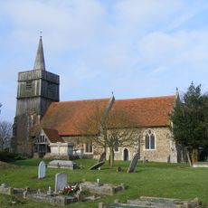
Church of St Andrew
2.9 km
Lexden Gathering Grounds
2.9 km
Iron Latch
2.1 km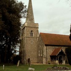
Church of St Margaret and St Catherine
2.8 km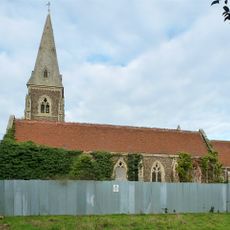
Church of St Peter and St Paul, Birch
4.2 km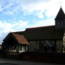
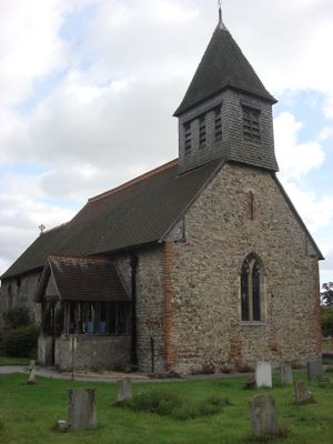
Parish Church of St Albright
227 m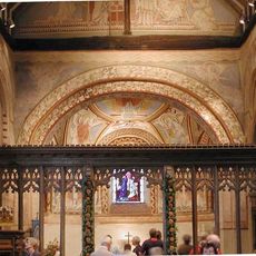
Church of St Michael and All Angels
1.5 km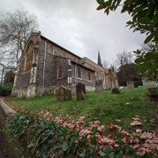
Church of St Leonard
3.3 km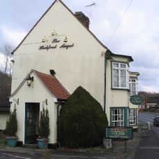
The Angel Public House
2.4 km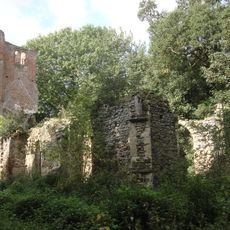
Church of St Mary (ruin) north of Birch Hall
3.5 km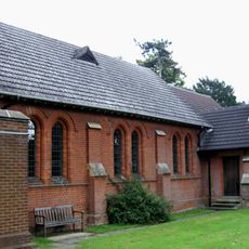
All Saints Church
1.7 km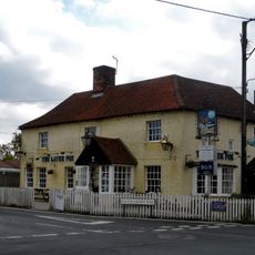
The Fox Public House
4.9 km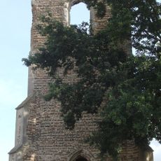
Church of All Saints
2.4 km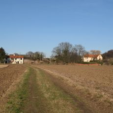
Cooks Hall
3.4 km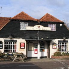
Ye Olde Leather Bottle Public House
3.2 km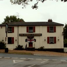
Donkey And Buskins Public House
4.7 km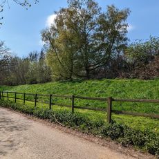
Moat Farm Dyke: a northern extension of Lexden Dyke; part of the Iron Age territorial oppidum and Romano-British town of Camulod
4.3 km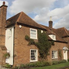
Beaconhead Farmhouse
1.5 km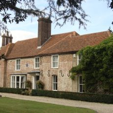
Catchbells
324 m
Site of pre-Roman settlement
4.7 km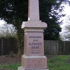
Marks Tey War Memorial
2.9 km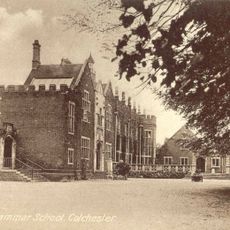
Royal Grammar School
4.8 km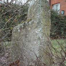
Milestone, Lexden Road
2.9 km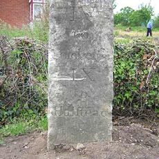
Milestone, Milestone Farm, Halstead Road
1.9 kmRecensioni
Ha visitato questo luogo? Tocchi le stelle per valutarlo e condividere la Sua esperienza o foto con la community! Provalo ora! Puoi annullarlo in qualsiasi momento.
Scopri tesori nascosti ad ogni viaggio!
Da piccoli caffè caratteristici a panorami nascosti, fuggi dalla folla e scova i posti che fanno davvero per te. La nostra app ti semplifica tutto: ricerca vocale, filtri furbi, percorsi ottimizzati e dritte autentiche da viaggiatori di tutto il mondo. Scaricala subito per vivere l'avventura sul tuo smartphone!

Un nuovo approccio alla scoperta turistica❞
— Le Figaro
Tutti i luoghi che meritano di essere esplorati❞
— France Info
Un’escursione su misura in pochi clic❞
— 20 Minutes