
Rushock, village in United Kingdom
Posizione: Wyre Forest
Coordinate GPS: 52.33650,-2.17336
Ultimo aggiornamento: 31 marzo 2025 alle 00:49
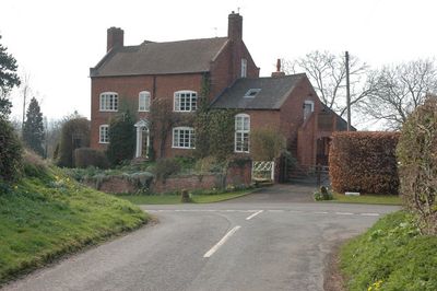
Badge Court
2.6 km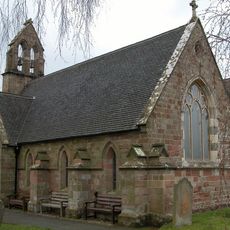
Church of St Mary
3.5 km
Church of St Michael
298 m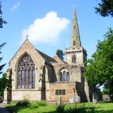
Church of St Cassian, Chaddesley Corbett
2.8 km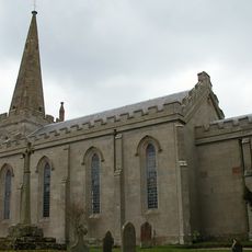
Church of St Michael
2.2 km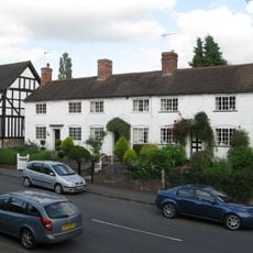
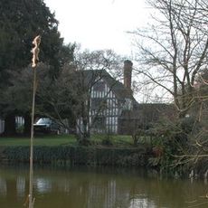
Church View
2.8 km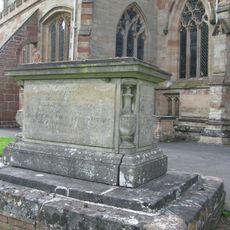
Haynes Memorial About 10 Metres South Of Chancel Of Church Of St Cassian
2.8 km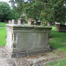
Edwards Memorial About 15 Metres South Of Chancel Of Church Of St Cassain
2.8 km
Talbot Inn
2.8 km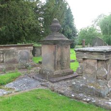
Four Pratt Memorials About 5 Metres South-East Of Chancel Of Church Of St Cassian
2.8 km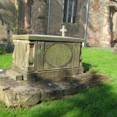
Hooper Memorial About 10 Metres South Of Tower Of Church Of St Cassian
2.8 km
The Post Office
2.9 km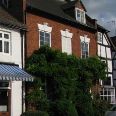
Georgian House
2.9 km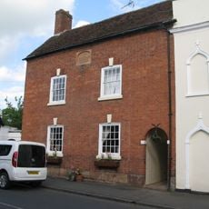
The Old School House
2.9 km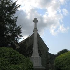
Chaddesley Corbett War Memorial
2.8 km
Lychgate House
2.8 km
The Malt House
2.9 km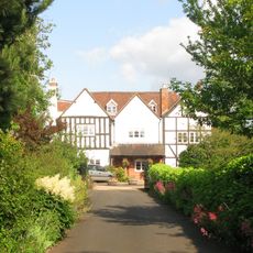
Lodge Farmhouse
2.7 km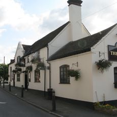
The Swan Inn
2.9 km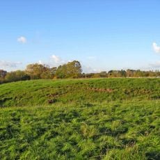
Medieval settlement immediately surrounding St Michael's Church
2.2 km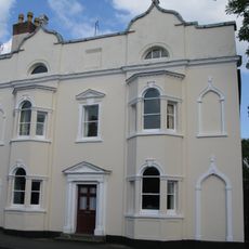
Tudor House
2.9 km
Churchyard Cross About 10 Metres South Of Church Of St Cassian
2.8 km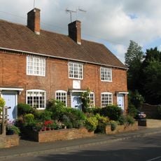
Charity Houses
2.7 km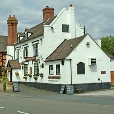
The Talbot
3.7 km
Beam's End
2.9 km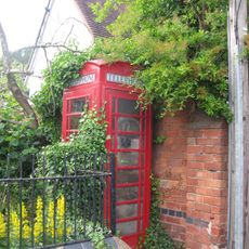
K6 Telephone Kiosk Outside Primary School
2.8 km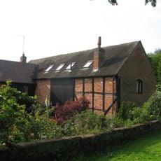
Barn About 30 Metres North Of Lodge Farmhouse
2.8 km
Milestone, Callimore Farm
599 mRecensioni
Ha visitato questo luogo? Tocchi le stelle per valutarlo e condividere la Sua esperienza o foto con la community! Provalo ora! Puoi annullarlo in qualsiasi momento.
Scopri tesori nascosti ad ogni viaggio!
Da piccoli caffè caratteristici a panorami nascosti, fuggi dalla folla e scova i posti che fanno davvero per te. La nostra app ti semplifica tutto: ricerca vocale, filtri furbi, percorsi ottimizzati e dritte autentiche da viaggiatori di tutto il mondo. Scaricala subito per vivere l'avventura sul tuo smartphone!

Un nuovo approccio alla scoperta turistica❞
— Le Figaro
Tutti i luoghi che meritano di essere esplorati❞
— France Info
Un’escursione su misura in pochi clic❞
— 20 Minutes