
Bythorn and Keyston, civil parish in Cambridgeshire, England
Posizione: Huntingdonshire
Coordinate GPS: 52.37000,-0.43000
Ultimo aggiornamento: 6 marzo 2025 alle 05:22
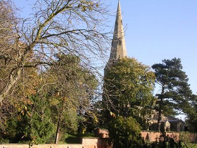
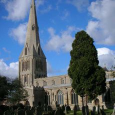
Church of St Peter Parish Church of St Peter
7.5 km
Thrapston Station Quarry
7.3 km
Titchmarsh Meadow
5.5 km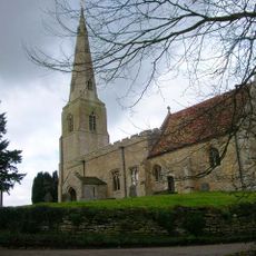
Parish Church of All Saints
1.3 km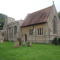
Parish Church of St Peter
38 m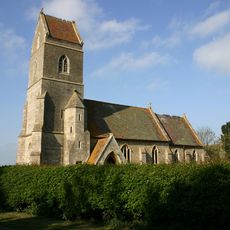
Church of St Peter
4.2 km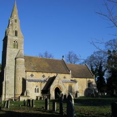
Church of All Saints And Chest Tomb Attached To North Aisle
6.2 km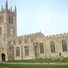
Church of St Mary the Virgin
6.3 km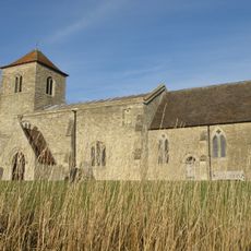
All Saints Church
5.3 km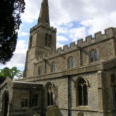
Parish Church of St Leonards
3.1 km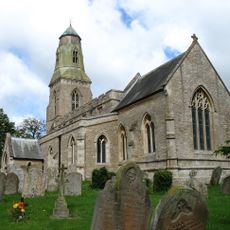
Parish Church of St Lawrence
1.3 km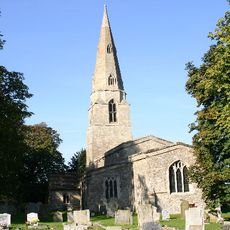
Parish Church of St Swithin
2.8 km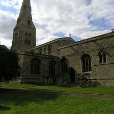
Parish Church of St John the Baptist
2.6 km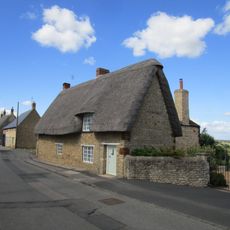
6, Church Street
6.2 km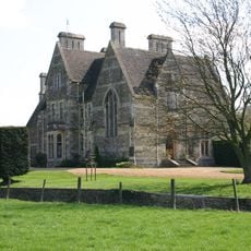
The Old Rectory
6.4 km
White Hart Public House
1.4 km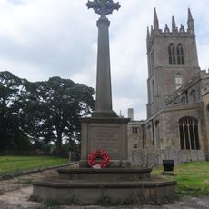
Titchmarsh War Memorial
6.2 km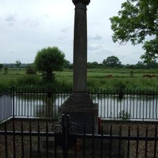
Denford War Memorial, Northamptonshire
7.7 km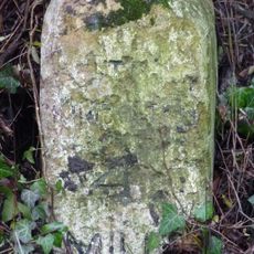
Milestone K4 on highway B660 at TL0855973579
2.7 km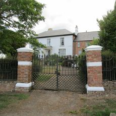
Bythorn House
1.4 km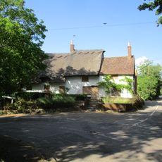
The Nags Head Public House
6.1 km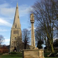
Raunds War Memorial
7.5 km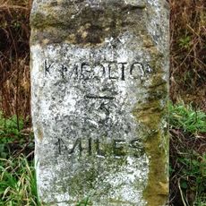
Milestone K3 on highway B660 at TL0869372088
4.1 km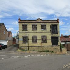
Wescam Engineering (Ernest Chambers Heel Factory)
7.5 km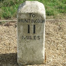
Milestone Circa 300 Metres To East Of Road Junction To Molesworth Village
955 m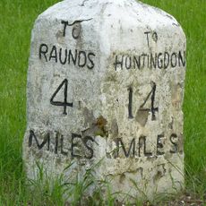
Milestone, Raunds Road, Keyston at jct with The Loop
2.6 km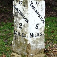
Milestone Circa 10 Metres To West Of The Cottage
848 m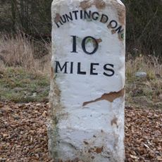
Milestone, on slip road, nr junction with B660
1.9 kmRecensioni
Ha visitato questo luogo? Tocchi le stelle per valutarlo e condividere la Sua esperienza o foto con la community! Provalo ora! Puoi annullarlo in qualsiasi momento.
Scopri tesori nascosti ad ogni viaggio!
Da piccoli caffè caratteristici a panorami nascosti, fuggi dalla folla e scova i posti che fanno davvero per te. La nostra app ti semplifica tutto: ricerca vocale, filtri furbi, percorsi ottimizzati e dritte autentiche da viaggiatori di tutto il mondo. Scaricala subito per vivere l'avventura sul tuo smartphone!

Un nuovo approccio alla scoperta turistica❞
— Le Figaro
Tutti i luoghi che meritano di essere esplorati❞
— France Info
Un’escursione su misura in pochi clic❞
— 20 Minutes