
Cotesbach, village and civil parish in Leicestershire, United Kingdom
Posizione: Harborough
Coordinate GPS: 52.43700,-1.20900
Ultimo aggiornamento: 17 marzo 2025 alle 21:41

Magna Park, Lutterworth
3.7 km
Brownsover Hall
5.8 km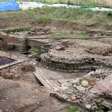
Tripontium
3.1 km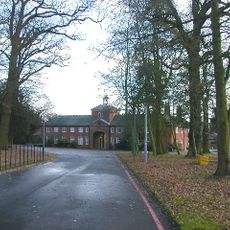
Coton House
3.5 km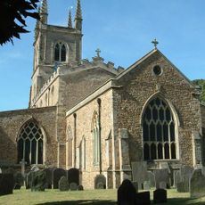
Church of St Mary
2.1 km
Dow Bridge
4.5 km
Town Hall
2.1 km
Misterton Marshes
3.3 km
Cave's Inn Pits
3 km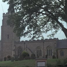
St Mary's Church, Bitteswell
3.5 km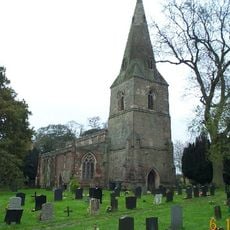
Church of St Leonard
2.4 km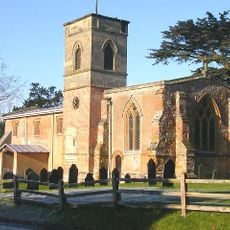
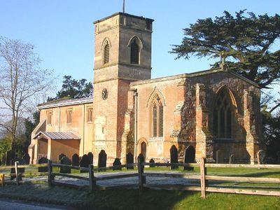
Church of St Mary
31 m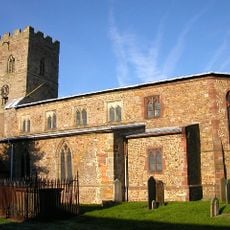
Church of All Saints
4.3 km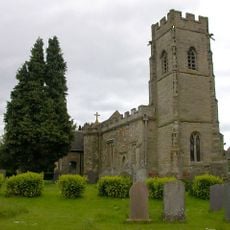
Church of St Leonard
4.8 km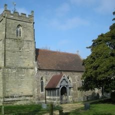
Church of All Saints
2.7 km
Wycliffe Memorial
2.2 km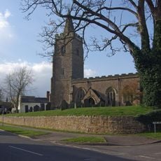
Church of St Mary
3.5 km
Church of the Holy Trinity
3.2 km
Church of St Thomas
4.5 km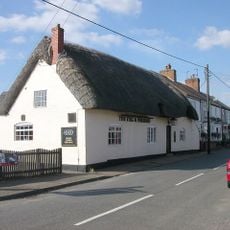
Stag And Pheasant Public House
4.3 km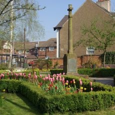
Lutterworth War Memorial Cross, Walls and Shelter
2.1 km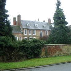
Cotesbach Hall
52 m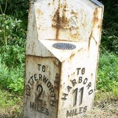
Milepost, Opposite Junction Of Lane To Gilmorton
3.6 km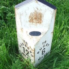
Milepost At National Grid Reference Sp 572897
4.3 km
Morrisons
2.4 km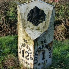
Milepost, Riddlesdon Farm, Leicester Road
4.2 km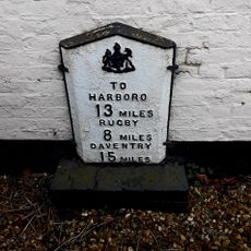
Milepost, wall of "The Springs"
1.9 km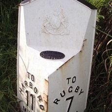
Milepost, Rugby Road; N of Gravel Hill
4.8 kmRecensioni
Ha visitato questo luogo? Tocchi le stelle per valutarlo e condividere la Sua esperienza o foto con la community! Provalo ora! Puoi annullarlo in qualsiasi momento.
Scopri tesori nascosti ad ogni viaggio!
Da piccoli caffè caratteristici a panorami nascosti, fuggi dalla folla e scova i posti che fanno davvero per te. La nostra app ti semplifica tutto: ricerca vocale, filtri furbi, percorsi ottimizzati e dritte autentiche da viaggiatori di tutto il mondo. Scaricala subito per vivere l'avventura sul tuo smartphone!

Un nuovo approccio alla scoperta turistica❞
— Le Figaro
Tutti i luoghi che meritano di essere esplorati❞
— France Info
Un’escursione su misura in pochi clic❞
— 20 Minutes